
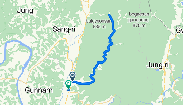
연천읍 ~ 연천읍
A cycling route starting in Yeoncheon, Gyeonggi-do, South Korea.
Overview
About this route
- 1 h 38 min
- Duration
- 29 km
- Distance
- 216 m
- Ascent
- 216 m
- Descent
- 17.7 km/h
- Avg. speed
- 257 m
- Max. altitude
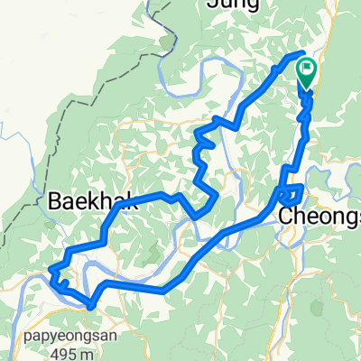
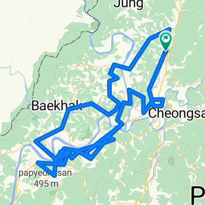
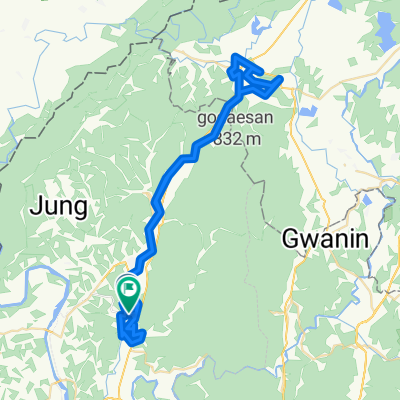
Route photos


Route quality
Waytypes & surfaces along the route
Waytypes
Road
28.4 km
(98 %)
Quiet road
0.5 km
(2 %)
Surfaces
Paved
26.2 km
(90 %)
Asphalt
26.2 km
(90 %)
Undefined
2.8 km
(10 %)
Continue with Bikemap
Use, edit, or download this cycling route
You would like to ride 연천읍 ~ 연천읍 or customize it for your own trip? Here is what you can do with this Bikemap route:
Free features
- Save this route as favorite or in collections
- Copy & plan your own version of this route
- Sync your route with Garmin or Wahoo
Premium features
Free trial for 3 days, or one-time payment. More about Bikemap Premium.
- Navigate this route on iOS & Android
- Export a GPX / KML file of this route
- Create your custom printout (try it for free)
- Download this route for offline navigation
Discover more Premium features.
Get Bikemap PremiumFrom our community
Other popular routes starting in Yeoncheon
 연천디엠지랠리
- Distance
- 85.1 km
- Ascent
- 912 m
- Descent
- 911 m
- Location
- Yeoncheon, Gyeonggi-do, South Korea
 Tour de DMZ Stage 3
- Distance
- 116.2 km
- Ascent
- 667 m
- Descent
- 610 m
- Location
- Yeoncheon, Gyeonggi-do, South Korea
 dmz 경로
- Distance
- 174.8 km
- Ascent
- 2,369 m
- Descent
- 2,370 m
- Location
- Yeoncheon, Gyeonggi-do, South Korea
 Tour de DMZ 2019 Stage 4
- Distance
- 117.3 km
- Ascent
- 260 m
- Descent
- 312 m
- Location
- Yeoncheon, Gyeonggi-do, South Korea
 연천읍 ~ 연천읍
- Distance
- 29 km
- Ascent
- 216 m
- Descent
- 216 m
- Location
- Yeoncheon, Gyeonggi-do, South Korea
 연천읍 34-442 ~ 연천읍 34-447
- Distance
- 70.3 km
- Ascent
- 700 m
- Descent
- 700 m
- Location
- Yeoncheon, Gyeonggi-do, South Korea
Open it in the app