
MENDELPASS/ PASSO DELLA MENDOLA + PENEGAL (por Sopra di Sotto)
A cycling route starting in San Michele, Trentino-Alto Adige, Italy.
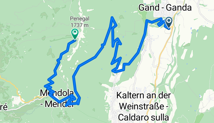
Overview
About this route
The Passo della Mendola/Mendelpass (1363 m) is one of the major passes of Trentino-Alto Adige, historically important in the connection between Bolzano and the Non Valley. Although it is not among the toughest Alpine passes, its strategic importance has made it a regular feature in professional cycling and also a tourist attraction for its panoramic road, with long straights and a whimsical route.
- 1 h 40 min
- Duration
- 19.4 km
- Distance
- 1,755 m
- Ascent
- 440 m
- Descent
- 11.7 km/h
- Avg. speed
- 1,723 m
- Max. altitude

Route photos
\"")
Route quality
Waytypes & surfaces along the route
Waytypes
Quiet road
3.9 km
(20 %)
Undefined
15.5 km
(80 %)
Surfaces
Paved
19 km
(98 %)
Asphalt
19 km
(98 %)
Undefined
0.4 km
(2 %)
Continue with Bikemap
Use, edit, or download this cycling route
You would like to ride MENDELPASS/ PASSO DELLA MENDOLA + PENEGAL (por Sopra di Sotto) or customize it for your own trip? Here is what you can do with this Bikemap route:
Free features
- Save this route as favorite or in collections
- Copy & plan your own version of this route
- Sync your route with Garmin or Wahoo
Premium features
Free trial for 3 days, or one-time payment. More about Bikemap Premium.
- Navigate this route on iOS & Android
- Export a GPX / KML file of this route
- Create your custom printout (try it for free)
- Download this route for offline navigation
Discover more Premium features.
Get Bikemap PremiumFrom our community
Other popular routes starting in San Michele
 Mendel-, Gampenpass, Montiggler See
- Distance
- 80.7 km
- Ascent
- 2,467 m
- Descent
- 2,417 m
- Location
- San Michele, Trentino-Alto Adige, Italy
 Badetour zum Montiggler See
- Distance
- 11.2 km
- Ascent
- 236 m
- Descent
- 193 m
- Location
- San Michele, Trentino-Alto Adige, Italy
 Perdoing/Gaid
- Distance
- 27.8 km
- Ascent
- 797 m
- Descent
- 797 m
- Location
- San Michele, Trentino-Alto Adige, Italy
 Montiggl Di1
- Distance
- 15.3 km
- Ascent
- 498 m
- Descent
- 495 m
- Location
- San Michele, Trentino-Alto Adige, Italy
 Eppan Gampen Mendel
- Distance
- 69.7 km
- Ascent
- 2,212 m
- Descent
- 2,209 m
- Location
- San Michele, Trentino-Alto Adige, Italy
 Alte vie da Appiano a Termeno
- Distance
- 34.3 km
- Ascent
- 1,462 m
- Descent
- 1,610 m
- Location
- San Michele, Trentino-Alto Adige, Italy
 MTB-Tour durch den Montiggler Wald
- Distance
- 19.3 km
- Ascent
- 0 m
- Descent
- 0 m
- Location
- San Michele, Trentino-Alto Adige, Italy
 Altavia di Appiano lungo
- Distance
- 19.2 km
- Ascent
- 885 m
- Descent
- 885 m
- Location
- San Michele, Trentino-Alto Adige, Italy
Open it in the app