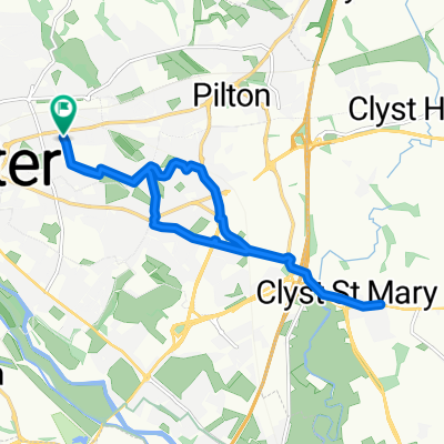
Whipton Lane to West Field Road
- 7.6 km
- 61 m
- 53 m
- Heavitree, England, United Kingdom
A cycling route starting in Heavitree, England, United Kingdom.
Overview
Enjoy a 34km ride on a mix of peaceful roads and dedicated cycle paths. Ideal for beginners, with easy navigation and gradual elevation changes. A great choice for new and experienced riders alike.
Start on the Exeter cycle paths, following any signage towards the "Science Park." Once across the Redhayes Bridge that goes over the M5, follow signs to the airport.
After Clyst Honiton, you will arrive at a roundabout—make sure to follow the cycle path into the airport car park to avoid the main road.
If you're in need of a coffee, you can turn right onto the shared cycle path when leaving the car park and head to "The Crusty Cob." Doing this will break up the 6km gentle climb from Clyst Honiton to Aylesbeare.
If you prefer to push on, exit the airport car park and cross the road, heading past the airport entrance onto a quiet country road.
After heading through Westcott, follow signs to Aylesbeare. As you pass through Aylesbeare, there is a white signpost on the right for "Within Lane." At the end of Within Lane, take a left.
If you want to avoid poor road quality, turn right and then left at "The White Horse" pub. This is especially recommended if you're on a road bike or if the weather is bad. Otherwise, take care crossing the major road and continue straight, then turn right at the triangle.
Follow signs to "Woodbury." In Woodbury, there is a local shop and pub if refreshments are needed.
Near the centre of Woodbury, there is a small wooden sign for "Ebford, Exe Estuary Trail." This can easily be missed.
At the time of writing, as you enter Ebford, the brown signage for the "Exe Estuary Trail" is broken. Make sure to turn left as you see the first houses of Ebford.
Continue following signs for the "Exe Estuary Trail" until you see blue signs for "Topsham" or "Exeter." Towards the end of the ride, there are plenty of opportunities for food and drinks in Topsham and Exeter, making for a perfect post-ride stop.
created this 3 months ago
Route quality
Quiet road
19.4 km
(58 %)
Cycleway
9 km
(27 %)
Paved
18.1 km
(54 %)
Asphalt
17.7 km
(53 %)
Paved (undefined)
0.3 km
(1 %)
Undefined
15.4 km
(46 %)
Continue with Bikemap
You would like to ride 34km Ride – Gentle Hills and Peaceful Roads or customize it for your own trip? Here is what you can do with this Bikemap route:
Free trial for 3 days, or one-time payment. More about Bikemap Premium.
Discover more Premium features.
Get Bikemap PremiumFrom our community
Open it in the app