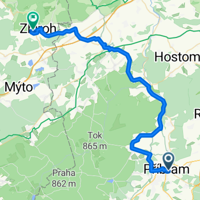
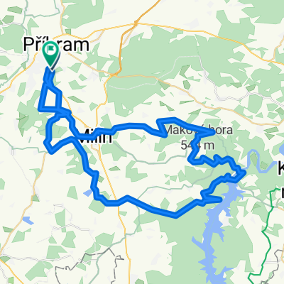
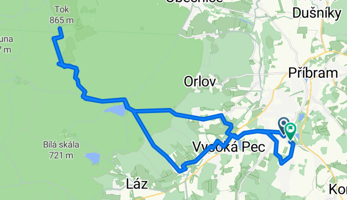
Brodská - Tok
A cycling route starting in Příbram, Central Bohemia, Czechia.
Overview
About this route
- 3 h 7 min
- Duration
- 29.9 km
- Distance
- 421 m
- Ascent
- 472 m
- Descent
- 9.6 km/h
- Avg. speed
- 865 m
- Max. altitude
Route photos
Route quality
Waytypes & surfaces along the route
Waytypes
Quiet road
20 km
(67 %)
Track
6.6 km
(22 %)
Surfaces
Paved
18.3 km
(61 %)
Unpaved
5.1 km
(17 %)
Asphalt
16.5 km
(55 %)
Gravel
2.9 km
(10 %)
Continue with Bikemap
Use, edit, or download this cycling route
You would like to ride Brodská - Tok or customize it for your own trip? Here is what you can do with this Bikemap route:
Free features
- Save this route as favorite or in collections
- Copy & plan your own version of this route
- Sync your route with Garmin or Wahoo
Premium features
Free trial for 3 days, or one-time payment. More about Bikemap Premium.
- Navigate this route on iOS & Android
- Export a GPX / KML file of this route
- Create your custom printout (try it for free)
- Download this route for offline navigation
Discover more Premium features.
Get Bikemap PremiumFrom our community
Other popular routes starting in Příbram
- Příbram_úraz
- Distance
- 35 km
- Ascent
- 447 m
- Descent
- 455 m
- Location
- Příbram, Central Bohemia, Czechia
- 9.4.2011
- Distance
- 49.1 km
- Ascent
- 341 m
- Descent
- 338 m
- Location
- Příbram, Central Bohemia, Czechia
- Příbram, Obecnice, Padrťské rybníky, Nepomuk, Příbram
- Distance
- 48 km
- Ascent
- 616 m
- Descent
- 616 m
- Location
- Příbram, Central Bohemia, Czechia
- 2018_08_25 Na vrchol
- Distance
- 56.5 km
- Ascent
- 696 m
- Descent
- 802 m
- Location
- Příbram, Central Bohemia, Czechia
- Brdy - Tok - Jordán
- Distance
- 52 km
- Ascent
- 759 m
- Descent
- 757 m
- Location
- Příbram, Central Bohemia, Czechia
- Brodská - Tok
- Distance
- 29.9 km
- Ascent
- 421 m
- Descent
- 472 m
- Location
- Příbram, Central Bohemia, Czechia
- Za Kofoulou do Smolotel
- Distance
- 39.3 km
- Ascent
- 474 m
- Descent
- 471 m
- Location
- Příbram, Central Bohemia, Czechia
- Vater Brüx 05 8.6.2025
- Distance
- 99.3 km
- Ascent
- 1,359 m
- Descent
- 1,653 m
- Location
- Příbram, Central Bohemia, Czechia
Open it in the app