
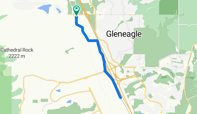
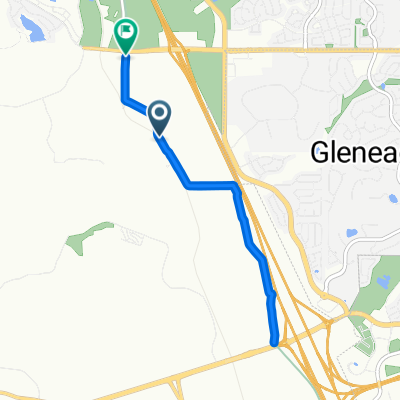
New Santa Fe Regional Trail, Monument to Old Denver Rd, Monument
A cycling route starting in Gleneagle, Colorado, United States.
Overview
About this route
- 1 h 29 min
- Duration
- 12.8 km
- Distance
- 94 m
- Ascent
- 91 m
- Descent
- 8.7 km/h
- Avg. speed
- 2,076 m
- Max. altitude
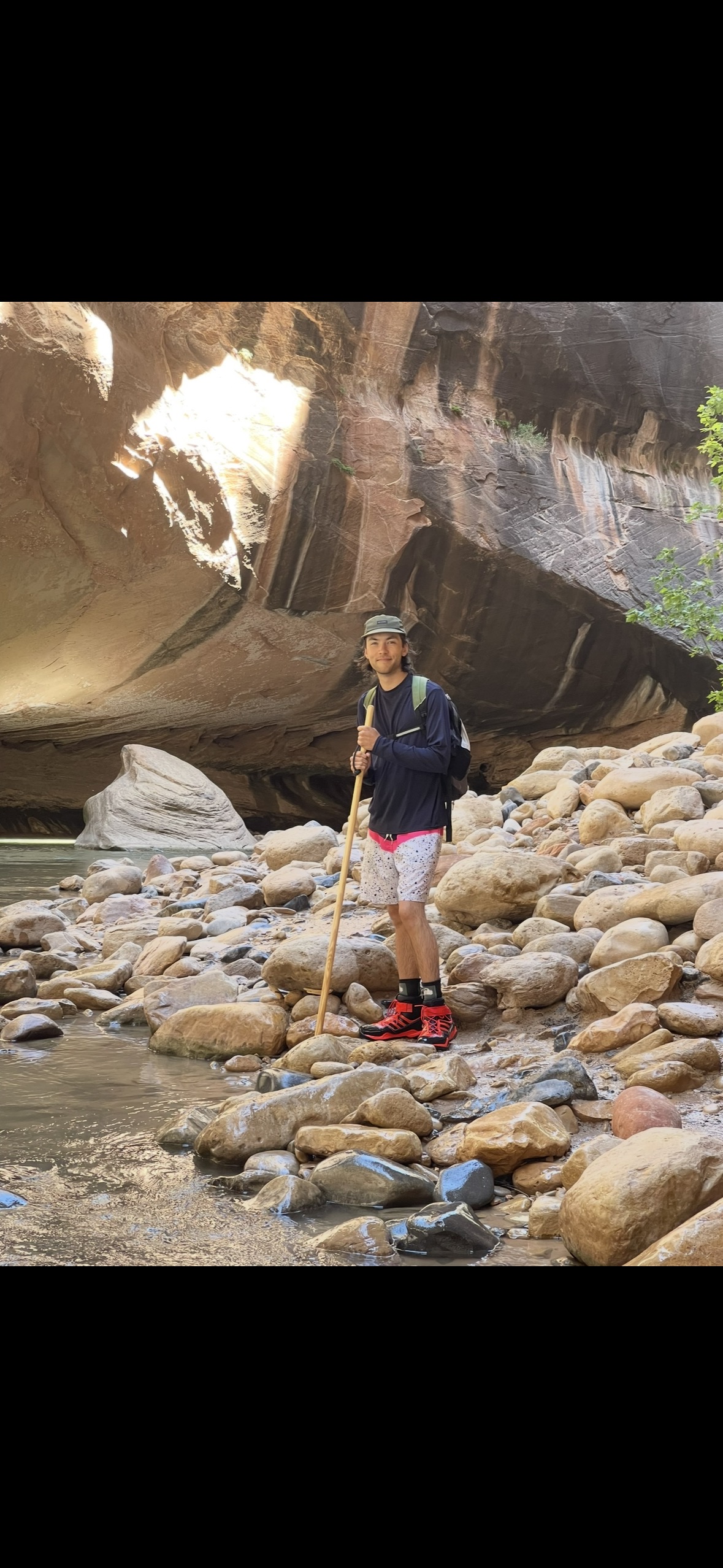
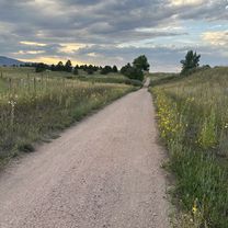
Route photos


Route quality
Waytypes & surfaces along the route
Waytypes
Cycleway
9 km
(70 %)
Path
3.8 km
(29 %)
Pedestrian area
0 km
(<1 %)
Surfaces
Paved
0 km
(<1 %)
Unpaved
9 km
(70 %)
Unpaved (undefined)
9 km
(70 %)
Paved (undefined)
0 km
(<1 %)
Undefined
3.8 km
(29 %)
Continue with Bikemap
Use, edit, or download this cycling route
You would like to ride New Santa Fe Regional Trail, Monument to Old Denver Rd, Monument or customize it for your own trip? Here is what you can do with this Bikemap route:
Free features
- Save this route as favorite or in collections
- Copy & plan your own version of this route
- Sync your route with Garmin or Wahoo
Premium features
Free trial for 3 days, or one-time payment. More about Bikemap Premium.
- Navigate this route on iOS & Android
- Export a GPX / KML file of this route
- Create your custom printout (try it for free)
- Download this route for offline navigation
Discover more Premium features.
Get Bikemap PremiumFrom our community
Other popular routes starting in Gleneagle
 12654 Rockbridge Cir, Colorado Springs to 1183 Middle Creek Pkwy, Colorado Springs
- Distance
- 42.4 km
- Ascent
- 671 m
- Descent
- 431 m
- Location
- Gleneagle, Colorado, United States
 baptist to woodmen
- Distance
- 17.4 km
- Ascent
- 14 m
- Descent
- 175 m
- Location
- Gleneagle, Colorado, United States
 New Santa Fe Regional Trail, Monument to Old Denver Rd, Monument
- Distance
- 8 km
- Ascent
- 73 m
- Descent
- 56 m
- Location
- Gleneagle, Colorado, United States
 Toscana Heights, Colorado Springs to 2167–2199 Field House Dr, Usaf Academy
- Distance
- 7.3 km
- Ascent
- 148 m
- Descent
- 71 m
- Location
- Gleneagle, Colorado, United States
 Voyager/83 Loop
- Distance
- 15 km
- Ascent
- 142 m
- Descent
- 144 m
- Location
- Gleneagle, Colorado, United States
 991–1099 Longspur Ln, Colorado Springs to 4430 E Fountain Blvd, Colorado Springs
- Distance
- 39.1 km
- Ascent
- 250 m
- Descent
- 640 m
- Location
- Gleneagle, Colorado, United States
 New Santa Fe Regional Trail, Monument to Old Denver Rd, Monument
- Distance
- 17.7 km
- Ascent
- 127 m
- Descent
- 128 m
- Location
- Gleneagle, Colorado, United States
 New Santa Fe Regional Trail, Monument to Old Denver Rd, Monument
- Distance
- 12.8 km
- Ascent
- 94 m
- Descent
- 91 m
- Location
- Gleneagle, Colorado, United States
Open it in the app