
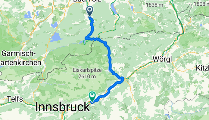
Overview
About this route
- 5 h 24 min
- Duration
- 77.9 km
- Distance
- 1,168 m
- Ascent
- 1,287 m
- Descent
- 14.4 km/h
- Avg. speed
- 972 m
- Max. altitude

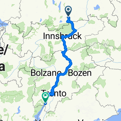
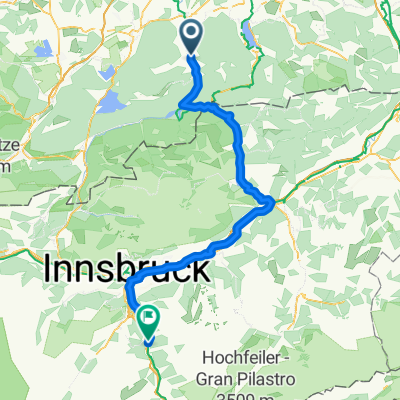
Part of
Von Mainz bis Meran
12 stages
Route quality
Waytypes & surfaces along the route
Waytypes
Track
31.9 km
(41 %)
Quiet road
17.9 km
(23 %)
Surfaces
Paved
65.4 km
(84 %)
Unpaved
7.8 km
(10 %)
Asphalt
63.1 km
(81 %)
Unpaved (undefined)
3.9 km
(5 %)
Continue with Bikemap
Use, edit, or download this cycling route
You would like to ride Rosenheim - Schwaz or customize it for your own trip? Here is what you can do with this Bikemap route:
Free features
- Save this route as favorite or in collections
- Copy & plan your own version of this route
- Sync your route with Garmin or Wahoo
Premium features
Free trial for 3 days, or one-time payment. More about Bikemap Premium.
- Navigate this route on iOS & Android
- Export a GPX / KML file of this route
- Create your custom printout (try it for free)
- Download this route for offline navigation
Discover more Premium features.
Get Bikemap PremiumFrom our community
Other popular routes starting in Lenggries
 Obergries - Aueralm - Obergries
- Distance
- 40.5 km
- Ascent
- 877 m
- Descent
- 875 m
- Location
- Lenggries, Bavaria, Germany
 Sonntraten
- Distance
- 4.4 km
- Ascent
- 362 m
- Descent
- 344 m
- Location
- Lenggries, Bavaria, Germany
 Reichenau-Schwarzenbach (Jachau) (36,1 km)
- Distance
- 35.5 km
- Ascent
- 1,154 m
- Descent
- 1,153 m
- Location
- Lenggries, Bavaria, Germany
 RR Lenggries-Eng-Walchensee
- Distance
- 115.6 km
- Ascent
- 633 m
- Descent
- 630 m
- Location
- Lenggries, Bavaria, Germany
 Lenggries - Walchensee - Sylvenstein See
- Distance
- 73.8 km
- Ascent
- 337 m
- Descent
- 326 m
- Location
- Lenggries, Bavaria, Germany
 2026_V2_ALPX_Brenner
- Distance
- 356 km
- Ascent
- 6,622 m
- Descent
- 7,235 m
- Location
- Lenggries, Bavaria, Germany
 Ronda Isaria - 2. Hälfte
- Distance
- 56.1 km
- Ascent
- 1,182 m
- Descent
- 1,217 m
- Location
- Lenggries, Bavaria, Germany
 Lenggries nach Matrei a. Br. Gemeindeamt
- Distance
- 111.3 km
- Ascent
- 2,203 m
- Descent
- 1,895 m
- Location
- Lenggries, Bavaria, Germany
Open it in the app