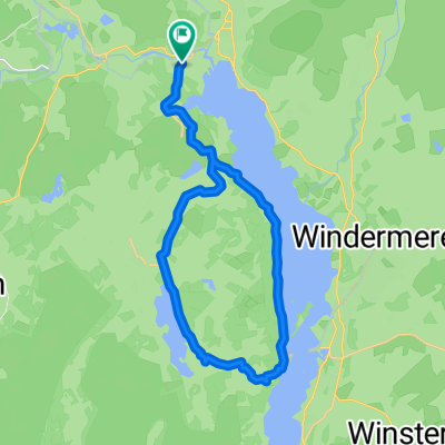

LEJO'G 14B Ambleside Loop
- 75.6 km
- 1,572 m
- 1,573 m
- Ambleside, England, United Kingdom
From Glasgow to Bath
A cycling route starting in Ambleside, England, United Kingdom.
Overview
created this 4 months ago
Part of
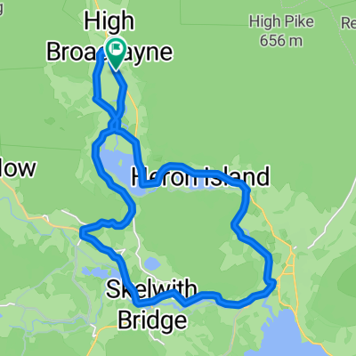
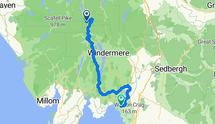
17 stages
Route quality
Quiet road
43.1 km
(61 %)
Road
9.9 km
(14 %)
Paved
21.2 km
(30 %)
Unpaved
4.9 km
(7 %)
Asphalt
20.5 km
(29 %)
Gravel
4.2 km
(6 %)
Continue with Bikemap
You would like to ride Wigton - Ambleside or customize it for your own trip? Here is what you can do with this Bikemap route:
Free trial for 3 days, or one-time payment. More about Bikemap Premium.
Discover more Premium features.
Get Bikemap PremiumFrom our community
Open it in the app