
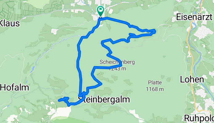
Bründling Alm Runde Nr 66
A cycling route starting in Bergen, Bavaria, Germany.
Overview
About this route
- 3 h 22 min
- Duration
- 18.3 km
- Distance
- 882 m
- Ascent
- 909 m
- Descent
- 5.5 km/h
- Avg. speed
- 1,160 m
- Max. altitude

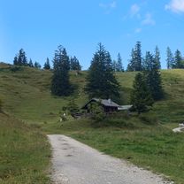
Route photos


Route quality
Waytypes & surfaces along the route
Waytypes
Track
14.3 km
(78 %)
Path
2.2 km
(12 %)
Surfaces
Paved
1.5 km
(8 %)
Unpaved
16.9 km
(92 %)
Gravel
14.1 km
(77 %)
Loose gravel
1.6 km
(9 %)
Continue with Bikemap
Use, edit, or download this cycling route
You would like to ride Bründling Alm Runde Nr 66 or customize it for your own trip? Here is what you can do with this Bikemap route:
Free features
- Save this route as favorite or in collections
- Copy & plan your own version of this route
- Sync your route with Garmin or Wahoo
Premium features
Free trial for 3 days, or one-time payment. More about Bikemap Premium.
- Navigate this route on iOS & Android
- Export a GPX / KML file of this route
- Create your custom printout (try it for free)
- Download this route for offline navigation
Discover more Premium features.
Get Bikemap PremiumFrom our community
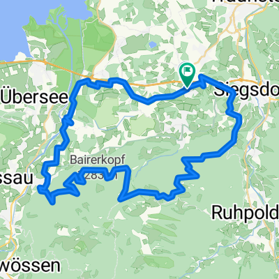
Other popular routes starting in Bergen
 Bergener Panoramatour
- Distance
- 46.5 km
- Ascent
- 1,056 m
- Descent
- 1,063 m
- Location
- Bergen, Bavaria, Germany
 Bergen-Kochel
- Distance
- 164.9 km
- Ascent
- 1,520 m
- Descent
- 1,493 m
- Location
- Bergen, Bavaria, Germany
 EU22 Day 4 Bergen
- Distance
- 52.8 km
- Ascent
- 644 m
- Descent
- 521 m
- Location
- Bergen, Bavaria, Germany
 Bründlingalm
- Distance
- 17.5 km
- Ascent
- 666 m
- Descent
- 663 m
- Location
- Bergen, Bavaria, Germany
 Rund um den Hochfelln
- Distance
- 65.9 km
- Ascent
- 915 m
- Descent
- 916 m
- Location
- Bergen, Bavaria, Germany
 Bründling Alm Runde Nr 66
- Distance
- 18.3 km
- Ascent
- 882 m
- Descent
- 909 m
- Location
- Bergen, Bavaria, Germany
 Umrundung Hochfelln mit Bründlingalm und Engelstein CLONED FROM ROUTE 494893
- Distance
- 35.6 km
- Ascent
- 1,417 m
- Descent
- 1,417 m
- Location
- Bergen, Bavaria, Germany
 Panoramarunde_active_Bergen
- Distance
- 20.7 km
- Ascent
- 738 m
- Descent
- 738 m
- Location
- Bergen, Bavaria, Germany
Open it in the app