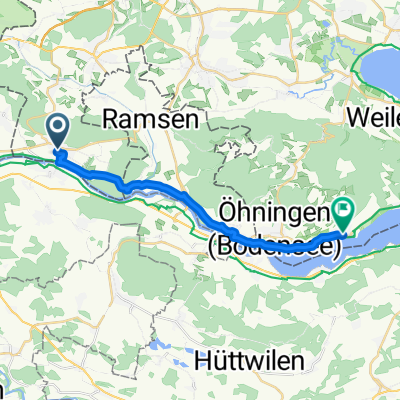
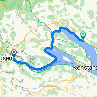
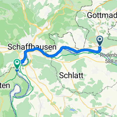
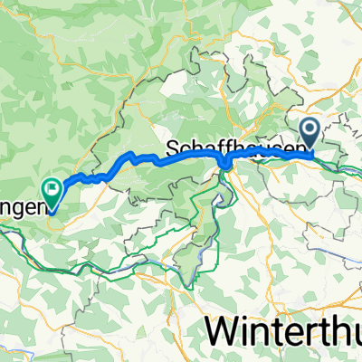
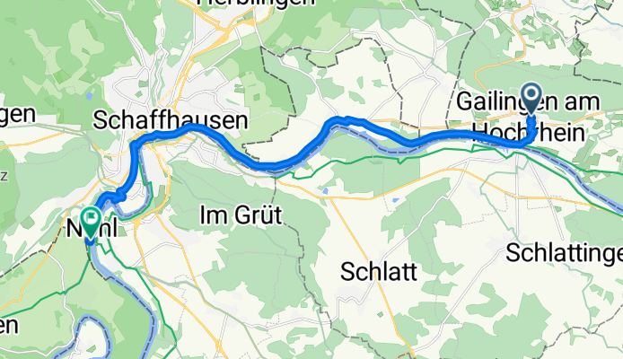
From Gailingen am Hochrhein to Schaffhausen
A cycling route starting in Gailingen, Baden-Wurttemberg, Germany.
Overview
About this route
- 59 min
- Duration
- 16 km
- Distance
- 156 m
- Ascent
- 239 m
- Descent
- 16.2 km/h
- Avg. speed
- 456 m
- Max. altitude
Route quality
Waytypes & surfaces along the route
Waytypes
Track
3.5 km
(22 %)
Path
2.7 km
(17 %)
Surfaces
Paved
12.8 km
(80 %)
Unpaved
2.7 km
(17 %)
Asphalt
12.6 km
(79 %)
Gravel
2.7 km
(17 %)
Continue with Bikemap
Use, edit, or download this cycling route
You would like to ride From Gailingen am Hochrhein to Schaffhausen or customize it for your own trip? Here is what you can do with this Bikemap route:
Free features
- Save this route as favorite or in collections
- Copy & plan your own version of this route
- Sync your route with Garmin or Wahoo
Premium features
Free trial for 3 days, or one-time payment. More about Bikemap Premium.
- Navigate this route on iOS & Android
- Export a GPX / KML file of this route
- Create your custom printout (try it for free)
- Download this route for offline navigation
Discover more Premium features.
Get Bikemap PremiumFrom our community
Other popular routes starting in Gailingen
Schloßstraße, Gailingen am Hochrhein nach Berbiceweg, Neuhausen am Rheinfall- Distance
- 14.7 km
- Ascent
- 101 m
- Descent
- 120 m
- Location
- Gailingen, Baden-Wurttemberg, Germany
From Gailingen am Hochrhein to Waldshut-Tiengen- Distance
- 60.9 km
- Ascent
- 439 m
- Descent
- 546 m
- Location
- Gailingen, Baden-Wurttemberg, Germany
Hauptstraße 21, Gailingen am Hochrhein nach Oberlohnstraße 5B, Konstanz- Distance
- 67.3 km
- Ascent
- 510 m
- Descent
- 561 m
- Location
- Gailingen, Baden-Wurttemberg, Germany
Gailingen - Uhldingen- Distance
- 57.4 km
- Ascent
- 403 m
- Descent
- 447 m
- Location
- Gailingen, Baden-Wurttemberg, Germany
Route in Gailingen am Hochrhein- Distance
- 36 km
- Ascent
- 564 m
- Descent
- 566 m
- Location
- Gailingen, Baden-Wurttemberg, Germany
From Gailingen am Hochrhein to Überlingen- Distance
- 61.7 km
- Ascent
- 464 m
- Descent
- 501 m
- Location
- Gailingen, Baden-Wurttemberg, Germany
Von Gailingen am Hochrhein bis Öhningen- Distance
- 16.5 km
- Ascent
- 151 m
- Descent
- 192 m
- Location
- Gailingen, Baden-Wurttemberg, Germany
Frauenfeld/Thurtal- Distance
- 91.1 km
- Ascent
- 840 m
- Descent
- 840 m
- Location
- Gailingen, Baden-Wurttemberg, Germany
Open it in the app


