
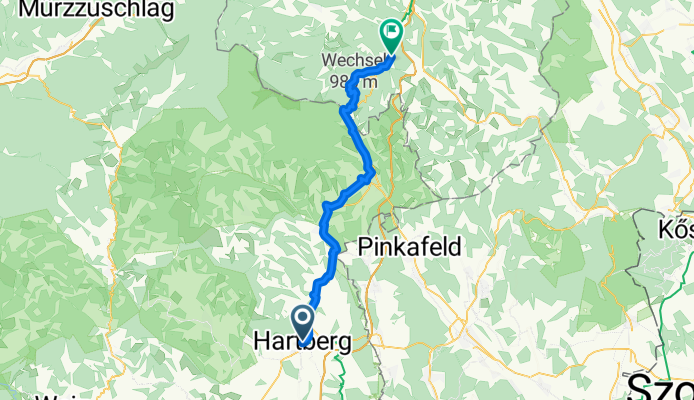
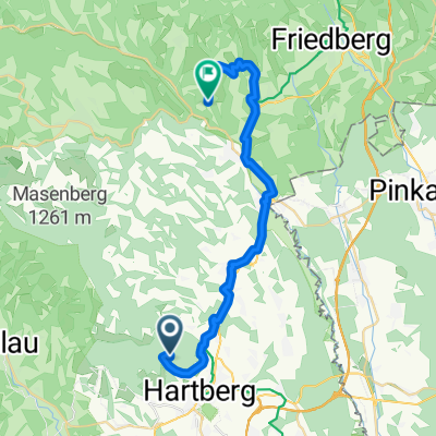
Hofgasse, Hartberg - Bahnstraße, Aspang
A cycling route starting in Hartberg, Styria, Austria.
Overview
About this route
- 3 h 1 min
- Duration
- 47.3 km
- Distance
- 1,140 m
- Ascent
- 1,025 m
- Descent
- 15.6 km/h
- Avg. speed
- 958 m
- Max. altitude
Route quality
Waytypes & surfaces along the route
Waytypes
Quiet road
26 km
(55 %)
Road
14.6 km
(31 %)
Surfaces
Paved
24.6 km
(52 %)
Asphalt
24.6 km
(52 %)
Undefined
22.7 km
(48 %)
Continue with Bikemap
Use, edit, or download this cycling route
You would like to ride Hofgasse, Hartberg - Bahnstraße, Aspang or customize it for your own trip? Here is what you can do with this Bikemap route:
Free features
- Save this route as favorite or in collections
- Copy & plan your own version of this route
- Sync your route with Garmin or Wahoo
Premium features
Free trial for 3 days, or one-time payment. More about Bikemap Premium.
- Navigate this route on iOS & Android
- Export a GPX / KML file of this route
- Create your custom printout (try it for free)
- Download this route for offline navigation
Discover more Premium features.
Get Bikemap PremiumFrom our community
Other popular routes starting in Hartberg
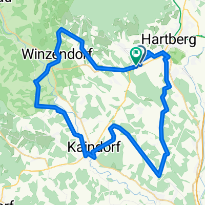
 Hartberg-Vorau-Masenberg
- Distance
- 56.4 km
- Ascent
- 1,326 m
- Descent
- 1,224 m
- Location
- Hartberg, Styria, Austria
 Route zu Trattoria Da Angelo
- Distance
- 48.6 km
- Ascent
- 655 m
- Descent
- 657 m
- Location
- Hartberg, Styria, Austria
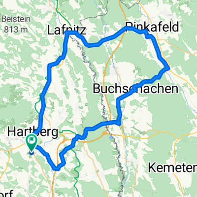 HB-Allhau-Buchschachen-Pinkafeld-Lafnitz-HB
- Distance
- 50.5 km
- Ascent
- 546 m
- Descent
- 545 m
- Location
- Hartberg, Styria, Austria
 Hartberg-Hainersdorf-Blumau- St. Magdalena
- Distance
- 56.9 km
- Ascent
- 671 m
- Descent
- 695 m
- Location
- Hartberg, Styria, Austria
 Hartberg - Bad Waltersdorf
- Distance
- 48.9 km
- Ascent
- 745 m
- Descent
- 783 m
- Location
- Hartberg, Styria, Austria
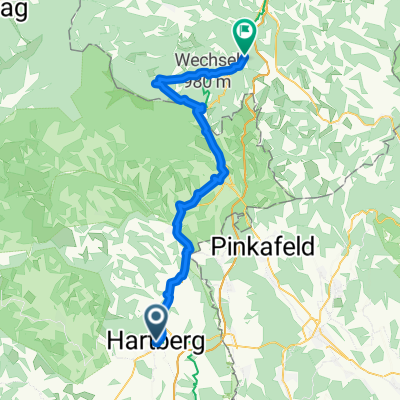 Hofgasse, Hartberg - Bahnstraße, Aspang
- Distance
- 55.4 km
- Ascent
- 1,452 m
- Descent
- 1,336 m
- Location
- Hartberg, Styria, Austria
 06 - Hartberg - Loipersdorf
- Distance
- 57 km
- Ascent
- 351 m
- Descent
- 611 m
- Location
- Hartberg, Styria, Austria
 Route zu Freizeitzentrum Römerhütte
- Distance
- 28.5 km
- Ascent
- 502 m
- Descent
- 657 m
- Location
- Hartberg, Styria, Austria
Open it in the app