
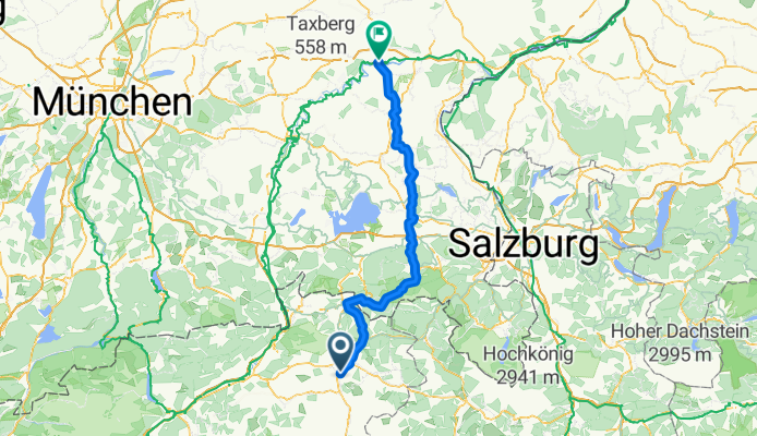
Bahnhofstraße, Oberndorf nach Töginger Straße, Mühldorf am Inn
A cycling route starting in Oberndorf in Tirol, Tyrol, Austria.
Overview
About this route
- 8 h 6 min
- Duration
- 122 km
- Distance
- 1,450 m
- Ascent
- 1,732 m
- Descent
- 15.1 km/h
- Avg. speed
- 851 m
- Max. altitude
Route photos


Route quality
Waytypes & surfaces along the route
Waytypes
Track
35.8 km
(29 %)
Quiet road
35.1 km
(29 %)
Surfaces
Paved
79.8 km
(65 %)
Unpaved
38.2 km
(31 %)
Asphalt
78.3 km
(64 %)
Gravel
36.9 km
(30 %)
Continue with Bikemap
Use, edit, or download this cycling route
You would like to ride Bahnhofstraße, Oberndorf nach Töginger Straße, Mühldorf am Inn or customize it for your own trip? Here is what you can do with this Bikemap route:
Free features
- Save this route as favorite or in collections
- Copy & plan your own version of this route
- Split it into stages to create a multi-day tour
- Sync your route with Garmin or Wahoo
Premium features
Free trial for 3 days, or one-time payment. More about Bikemap Premium.
- Navigate this route on iOS & Android
- Export a GPX / KML file of this route
- Create your custom printout (try it for free)
- Download this route for offline navigation
Discover more Premium features.
Get Bikemap PremiumFrom our community
Other popular routes starting in Oberndorf in Tirol
 Fieberbrunn
- Distance
- 42.1 km
- Ascent
- 1,059 m
- Descent
- 1,097 m
- Location
- Oberndorf in Tirol, Tyrol, Austria
 stanglalm
- Distance
- 16.1 km
- Ascent
- 840 m
- Descent
- 904 m
- Location
- Oberndorf in Tirol, Tyrol, Austria
 Kalkstein Radrunde
- Distance
- 53.5 km
- Ascent
- 833 m
- Descent
- 833 m
- Location
- Oberndorf in Tirol, Tyrol, Austria
 Oberndorf — Harschbichl
- Distance
- 19.1 km
- Ascent
- 928 m
- Descent
- 928 m
- Location
- Oberndorf in Tirol, Tyrol, Austria
 Kitzbichi
- Distance
- 61.7 km
- Ascent
- 448 m
- Descent
- 448 m
- Location
- Oberndorf in Tirol, Tyrol, Austria
 15. Oberndorf - Wörgl
- Distance
- 29.5 km
- Ascent
- 371 m
- Descent
- 463 m
- Location
- Oberndorf in Tirol, Tyrol, Austria
 Kitzbühler Horn Umrundung
- Distance
- 44.5 km
- Ascent
- 1,098 m
- Descent
- 1,079 m
- Location
- Oberndorf in Tirol, Tyrol, Austria
 Seidlalm
- Distance
- 24.7 km
- Ascent
- 654 m
- Descent
- 652 m
- Location
- Oberndorf in Tirol, Tyrol, Austria
Open it in the app