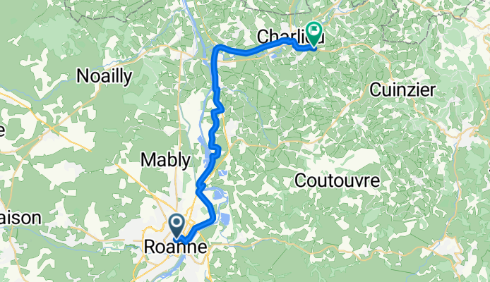


cordelle Bully...
- 44.3 km
- 959 m
- 1,012 m
- Roanne, Auvergne-Rhône-Alpes, France
Ventoux, Paname, part 2
A cycling route starting in Roanne, Auvergne-Rhône-Alpes, France.
Overview
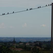
Quick translation in 150'. But it's also hot. I'm making a stop at the station... Is it hot for you too? I managed the transfer from Vienna to Roanne under the mega heat! (A little over 2 hours) However, I forgot my drawing notebook at the super Gallo-Roman museum... Pfff. (GT was on the verge of apoplexy, I needed strength, I couldn't manage anything anymore.) Luckily I had left my number in the notebook. A nice person is going to send it back to me.
created this 4 months ago
Part of
9 stages

Route quality
Path
10.9 km
(44 %)
Track
4.7 km
(19 %)
Paved
15.6 km
(63 %)
Unpaved
3 km
(12 %)
Asphalt
14.6 km
(59 %)
Gravel
2.5 km
(10 %)
Continue with Bikemap
You would like to ride Roanne, Charlieu or customize it for your own trip? Here is what you can do with this Bikemap route:
Free trial for 3 days, or one-time payment. More about Bikemap Premium.
Discover more Premium features.
Get Bikemap PremiumFrom our community
Open it in the app