
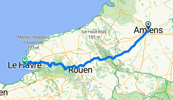
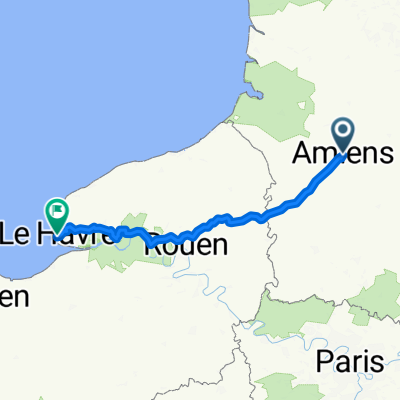
1962 t4-22258448
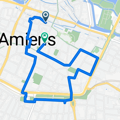
A cycling route starting in Amiens, Hauts-de-France, France.
Overview
About this route
- 14 h 11 min
- Duration
- 220 km
- Distance
- 1,903 m
- Ascent
- 1,922 m
- Descent
- 15.5 km/h
- Avg. speed
- 234 m
- Max. altitude

Continue with Bikemap
Use, edit, or download this cycling route
You would like to ride 1962 t4-22258448 or customize it for your own trip? Here is what you can do with this Bikemap route:
Free features
- Save this route as favorite or in collections
- Copy & plan your own version of this route
- Split it into stages to create a multi-day tour
- Sync your route with Garmin or Wahoo
Premium features
Free trial for 3 days, or one-time payment. More about Bikemap Premium.
- Navigate this route on iOS & Android
- Export a GPX / KML file of this route
- Create your custom printout (try it for free)
- Download this route for offline navigation
Discover more Premium features.
Get Bikemap PremiumFrom our community
Other popular routes starting in Amiens
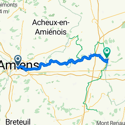 Amiens - Peronne
- Distance
- 62.7 km
- Ascent
- 318 m
- Descent
- 294 m
- Location
- Amiens, Hauts-de-France, France
 Rue Jules Barni, Amiens à Rue des Écoles des Filles, Saint-Riquier
- Distance
- 51.7 km
- Ascent
- 257 m
- Descent
- 236 m
- Location
- Amiens, Hauts-de-France, France
 Lengthy bike tour from 30 juin 10:48
- Distance
- 62.2 km
- Ascent
- 291 m
- Descent
- 295 m
- Location
- Amiens, Hauts-de-France, France
 1962 t4-22258448
- Distance
- 220 km
- Ascent
- 1,903 m
- Descent
- 1,922 m
- Location
- Amiens, Hauts-de-France, France
 B 7 Amiens - MEER Cayeux
- Distance
- 78.3 km
- Ascent
- 58 m
- Descent
- 76 m
- Location
- Amiens, Hauts-de-France, France
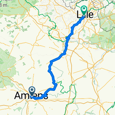 Amiens à Lille
- Distance
- 152.3 km
- Ascent
- 650 m
- Descent
- 664 m
- Location
- Amiens, Hauts-de-France, France
 Wnd 4,2k Amiens
- Distance
- 4.2 km
- Ascent
- 19 m
- Descent
- 20 m
- Location
- Amiens, Hauts-de-France, France
 Amiens Saigneville Berck Ft Mahon Touquet
- Distance
- 146.4 km
- Ascent
- 65 m
- Descent
- 90 m
- Location
- Amiens, Hauts-de-France, France
Open it in the app