
Von Freiburg im Breisgau bis Zürich
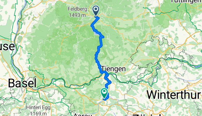
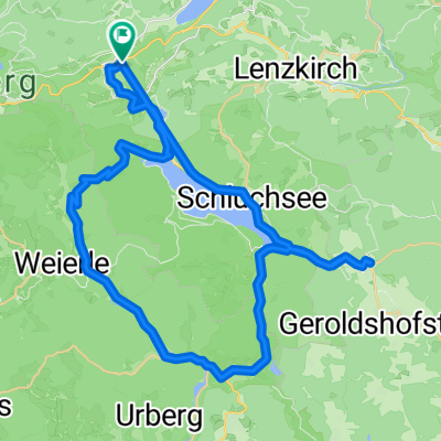
Titisee-Neustadt - Lauchringen
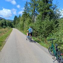
A cycling route starting in Hinterzarten, Baden-Wurttemberg, Germany.
Overview
About this route
- 4 h 35 min
- Duration
- 75.1 km
- Distance
- 1,174 m
- Ascent
- 1,690 m
- Descent
- 16.4 km/h
- Avg. speed
- 1,038 m
- Max. altitude

Part of
Route quality
Waytypes & surfaces along the route
Waytypes
Quiet road
23.3 km
(31 %)
Track
18 km
(24 %)
Surfaces
Paved
63.1 km
(84 %)
Unpaved
7.5 km
(10 %)
Asphalt
58.6 km
(78 %)
Gravel
4.5 km
(6 %)
Continue with Bikemap
Use, edit, or download this cycling route
You would like to ride Titisee-Neustadt - Lauchringen or customize it for your own trip? Here is what you can do with this Bikemap route:
Free features
- Save this route as favorite or in collections
- Copy & plan your own version of this route
- Sync your route with Garmin or Wahoo
Premium features
Free trial for 3 days, or one-time payment. More about Bikemap Premium.
- Navigate this route on iOS & Android
- Export a GPX / KML file of this route
- Create your custom printout (try it for free)
- Download this route for offline navigation
Discover more Premium features.
Get Bikemap PremiumFrom our community
Other popular routes starting in Hinterzarten
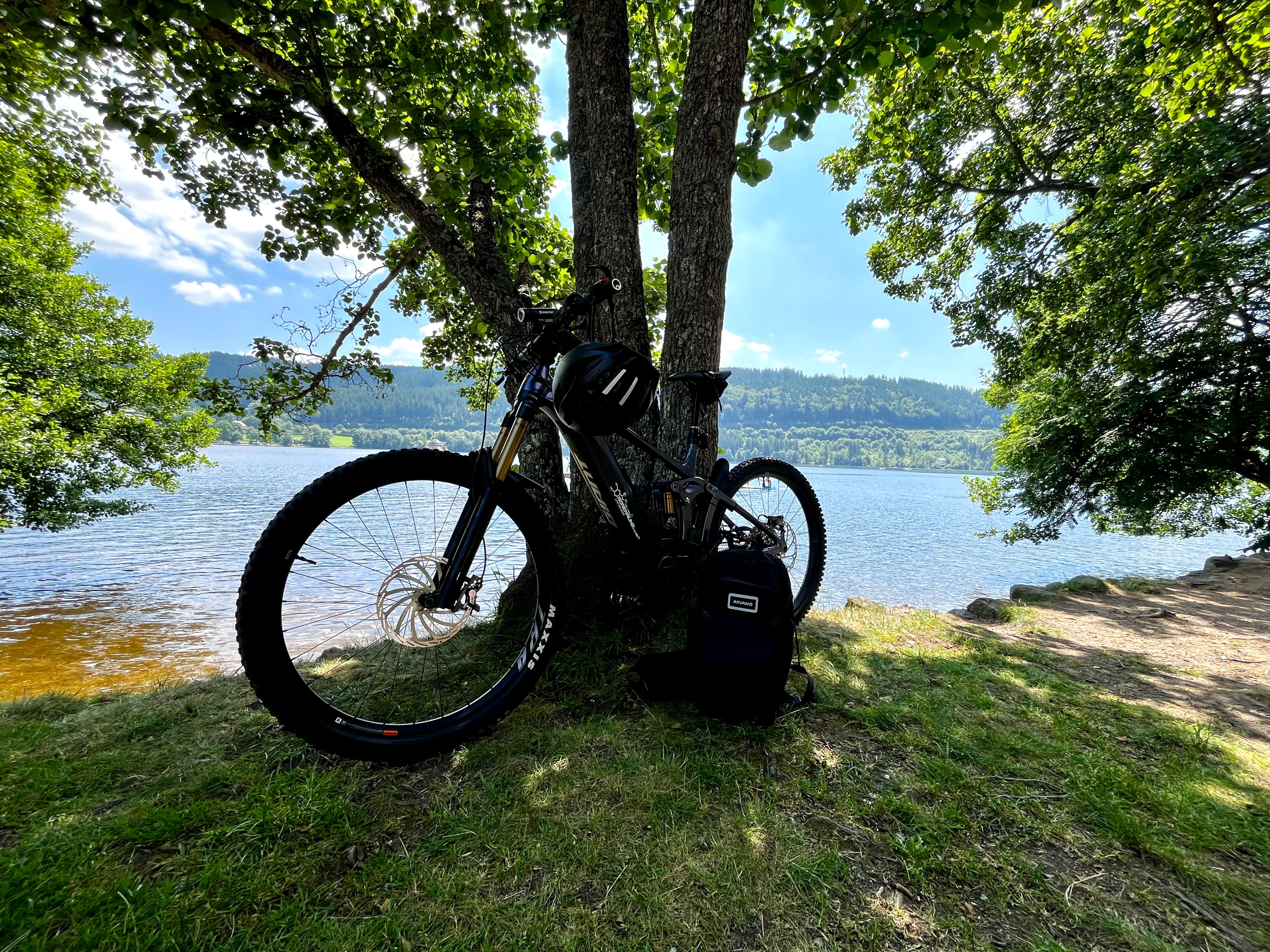 Mit der Apple Watch am 19. Juni, 16:15 aufgenommen
- Distance
- 18.5 km
- Ascent
- 317 m
- Descent
- 339 m
- Location
- Hinterzarten, Baden-Wurttemberg, Germany
 Von Hinterzarten bis Bonndorf im Schwarzwald
- Distance
- 30.4 km
- Ascent
- 726 m
- Descent
- 762 m
- Location
- Hinterzarten, Baden-Wurttemberg, Germany
 Südschwarzwald-Radweg
- Distance
- 266.4 km
- Ascent
- 1,219 m
- Descent
- 1,219 m
- Location
- Hinterzarten, Baden-Wurttemberg, Germany
 Orbit 360 Marsian Mountains
- Distance
- 168.5 km
- Ascent
- 2,492 m
- Descent
- 2,478 m
- Location
- Hinterzarten, Baden-Wurttemberg, Germany
 Day 4 Direct 2
- Distance
- 66.9 km
- Ascent
- 1,815 m
- Descent
- 2,464 m
- Location
- Hinterzarten, Baden-Wurttemberg, Germany
 Day 4 Direct 1
- Distance
- 60.7 km
- Ascent
- 1,185 m
- Descent
- 1,856 m
- Location
- Hinterzarten, Baden-Wurttemberg, Germany
 Zartenbachweg, Hinterzarten nach Zartenbachweg, Hinterzarten
- Distance
- 31.5 km
- Ascent
- 577 m
- Descent
- 576 m
- Location
- Hinterzarten, Baden-Wurttemberg, Germany
 Radfahren 22.07.2008
- Distance
- 53.2 km
- Ascent
- 713 m
- Descent
- 722 m
- Location
- Hinterzarten, Baden-Wurttemberg, Germany
Open it in the app