
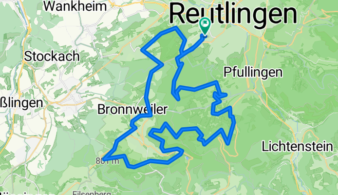
Roßberg Tour in GEIL
A cycling route starting in Reutlingen, Baden-Wurttemberg, Germany.
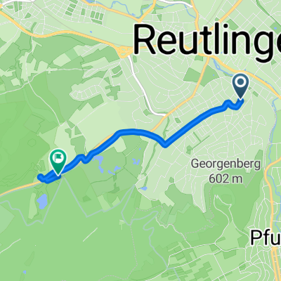
Overview
About this route
- 1 h 56 min
- Duration
- 42.1 km
- Distance
- 679 m
- Ascent
- 680 m
- Descent
- 21.8 km/h
- Avg. speed
- 673 m
- Max. altitude
Route quality
Waytypes & surfaces along the route
Waytypes
Track
29.9 km
(71 %)
Access road
3.8 km
(9 %)
Surfaces
Paved
21.9 km
(52 %)
Unpaved
19 km
(45 %)
Asphalt
21.5 km
(51 %)
Gravel
17.7 km
(42 %)
Continue with Bikemap
Use, edit, or download this cycling route
You would like to ride Roßberg Tour in GEIL or customize it for your own trip? Here is what you can do with this Bikemap route:
Free features
- Save this route as favorite or in collections
- Copy & plan your own version of this route
- Sync your route with Garmin or Wahoo
Premium features
Free trial for 3 days, or one-time payment. More about Bikemap Premium.
- Navigate this route on iOS & Android
- Export a GPX / KML file of this route
- Create your custom printout (try it for free)
- Download this route for offline navigation
Discover more Premium features.
Get Bikemap PremiumFrom our community
Other popular routes starting in Reutlingen
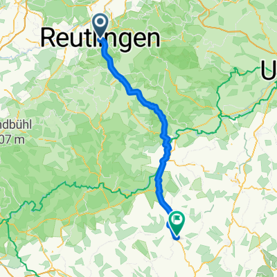
 Reutlingen - Lindenhof - Stahleck - Lichtenstein - Kalkofen - Stuhlsteige - Reutlingen
- Distance
- 40.9 km
- Ascent
- 708 m
- Descent
- 708 m
- Location
- Reutlingen, Baden-Wurttemberg, Germany
 Von Reutlingen bis Langwedel
- Distance
- 690.7 km
- Ascent
- 4,721 m
- Descent
- 5,092 m
- Location
- Reutlingen, Baden-Wurttemberg, Germany
 Schönaich - Hayingen
- Distance
- 87 km
- Ascent
- 1,073 m
- Descent
- 871 m
- Location
- Reutlingen, Baden-Wurttemberg, Germany
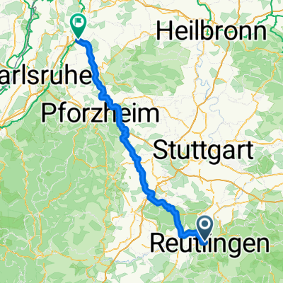 Reutlingen - Bruchsal
- Distance
- 112.9 km
- Ascent
- 1,292 m
- Descent
- 1,551 m
- Location
- Reutlingen, Baden-Wurttemberg, Germany
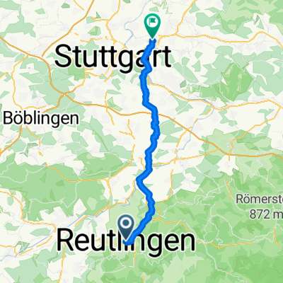 Holzgerlingen - Ebersbach an der Fils
- Distance
- 48.4 km
- Ascent
- 594 m
- Descent
- 684 m
- Location
- Reutlingen, Baden-Wurttemberg, Germany
 Betzingen, Bodensee nach Königssee
- Distance
- 642.1 km
- Ascent
- 8,449 m
- Descent
- 8,220 m
- Location
- Reutlingen, Baden-Wurttemberg, Germany
 Schloss Lichtenstein Tour
- Distance
- 32.1 km
- Ascent
- 468 m
- Descent
- 468 m
- Location
- Reutlingen, Baden-Wurttemberg, Germany
 Steinenbergstraße, Reutlingen nach Schlattwiesenstraße, Reutlingen
- Distance
- 4.4 km
- Ascent
- 47 m
- Descent
- 41 m
- Location
- Reutlingen, Baden-Wurttemberg, Germany
Open it in the app