
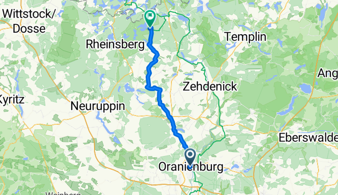
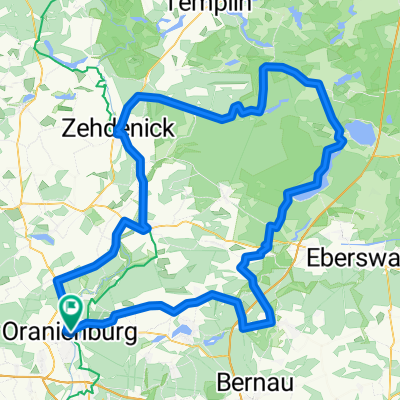
Bernauer Straße, Oranienburg nach Hanns-Krause-Weg, Stechlin
A cycling route starting in Oranienburg, Brandenburg, Germany.
Overview
About this route
- 3 h 14 min
- Duration
- 58.6 km
- Distance
- 169 m
- Ascent
- 135 m
- Descent
- 18.1 km/h
- Avg. speed
- 93 m
- Max. altitude

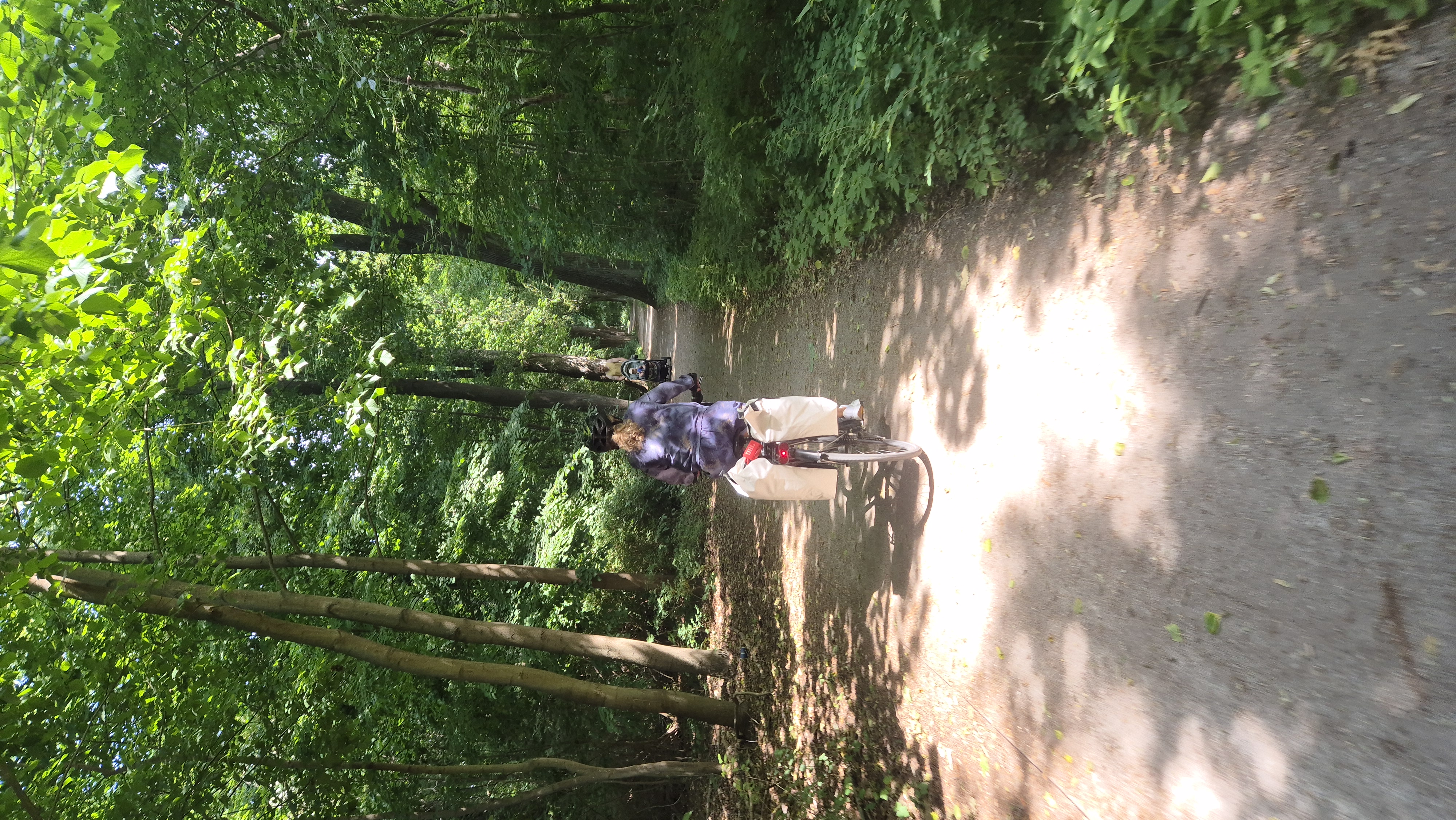
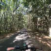
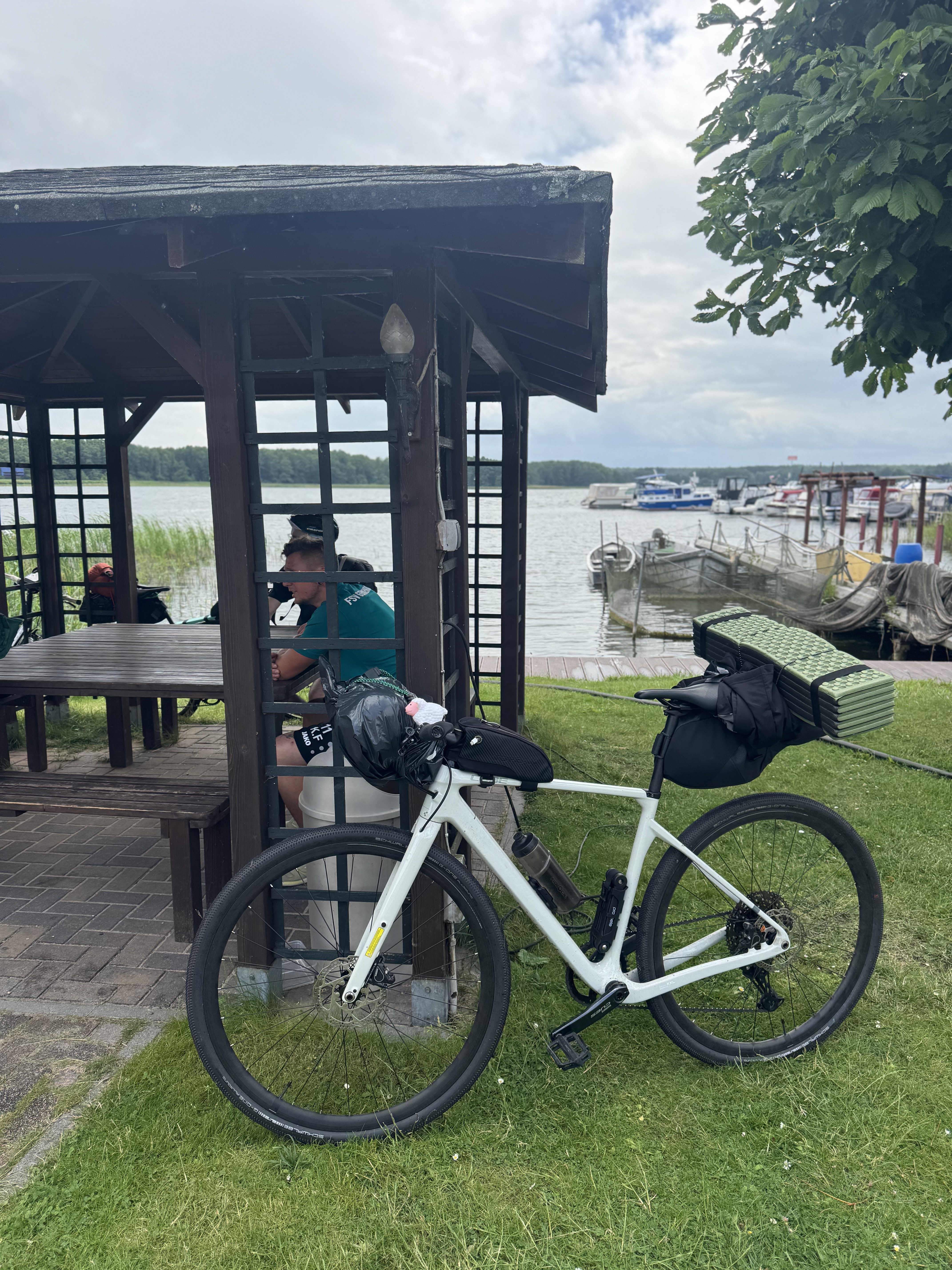
Route photos


Route quality
Waytypes & surfaces along the route
Waytypes
Quiet road
24 km
(41 %)
Path
18.2 km
(31 %)
Surfaces
Paved
51.6 km
(88 %)
Asphalt
51 km
(87 %)
Concrete
0.6 km
(1 %)
Undefined
7 km
(12 %)
Continue with Bikemap
Use, edit, or download this cycling route
You would like to ride Bernauer Straße, Oranienburg nach Hanns-Krause-Weg, Stechlin or customize it for your own trip? Here is what you can do with this Bikemap route:
Free features
- Save this route as favorite or in collections
- Copy & plan your own version of this route
- Sync your route with Garmin or Wahoo
Premium features
Free trial for 3 days, or one-time payment. More about Bikemap Premium.
- Navigate this route on iOS & Android
- Export a GPX / KML file of this route
- Create your custom printout (try it for free)
- Download this route for offline navigation
Discover more Premium features.
Get Bikemap PremiumFrom our community
Other popular routes starting in Oranienburg
 perm Zabelsdorf
- Distance
- 71.4 km
- Ascent
- 139 m
- Descent
- 141 m
- Location
- Oranienburg, Brandenburg, Germany
 510. Groß Väter
- Distance
- 146.3 km
- Ascent
- 183 m
- Descent
- 185 m
- Location
- Oranienburg, Brandenburg, Germany
 Oranienburg Zehdnick
- Distance
- 36.3 km
- Ascent
- 68 m
- Descent
- 77 m
- Location
- Oranienburg, Brandenburg, Germany
 Bernauer Straße, Oranienburg nach Hanns-Krause-Weg, Stechlin
- Distance
- 58.6 km
- Ascent
- 169 m
- Descent
- 135 m
- Location
- Oranienburg, Brandenburg, Germany
 Usedom
- Distance
- 210.3 km
- Ascent
- 256 m
- Descent
- 288 m
- Location
- Oranienburg, Brandenburg, Germany
 Oranienburg - Wandlitz
- Distance
- 43.7 km
- Ascent
- 185 m
- Descent
- 183 m
- Location
- Oranienburg, Brandenburg, Germany
 Radeln Badeln Campeln 2015
- Distance
- 252 km
- Ascent
- 284 m
- Descent
- 284 m
- Location
- Oranienburg, Brandenburg, Germany
 Straße der Einheit, Oranienburg nach Brandenburger Straße, Fürstenberg/Havel
- Distance
- 77.1 km
- Ascent
- 275 m
- Descent
- 249 m
- Location
- Oranienburg, Brandenburg, Germany
Open it in the app