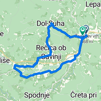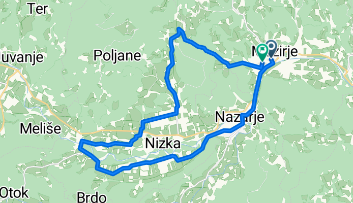

Nove Trate to Nove Trate
- 27.8 km
- 136 m
- 186 m
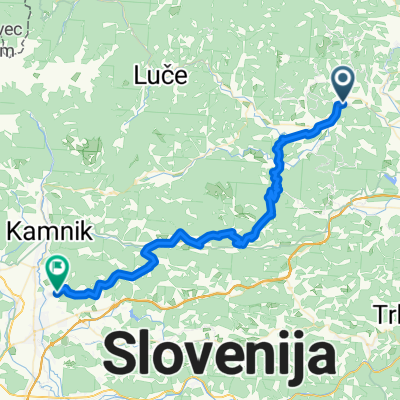
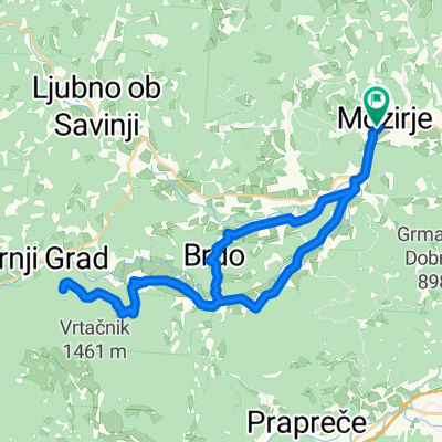
- Mozirje, Mozirje, Slovenia
A cycling route starting in Mozirje, Mozirje, Slovenia.
Overview
created this 3 months ago
Route quality
Quiet road
17.4 km
(87 %)
Path
2.2 km
(11 %)
Paved
8.4 km
(42 %)
Unpaved
5.2 km
(26 %)
Asphalt
8.4 km
(42 %)
Gravel
3 km
(15 %)
Continue with Bikemap
You would like to ride Alen route or customize it for your own trip? Here is what you can do with this Bikemap route:
Free trial for 3 days, or one-time payment. More about Bikemap Premium.
Discover more Premium features.
Get Bikemap PremiumFrom our community
Open it in the app