
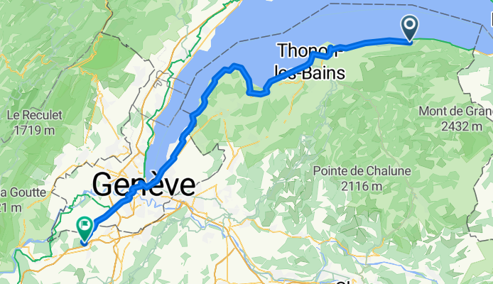
Lugrin - Viry
A cycling route starting in Lugrin, Auvergne-Rhône-Alpes, France.
Overview
About this route
- 9 h 2 min
- Duration
- 82.3 km
- Distance
- 799 m
- Ascent
- 768 m
- Descent
- 9.1 km/h
- Avg. speed
- 548 m
- Max. altitude
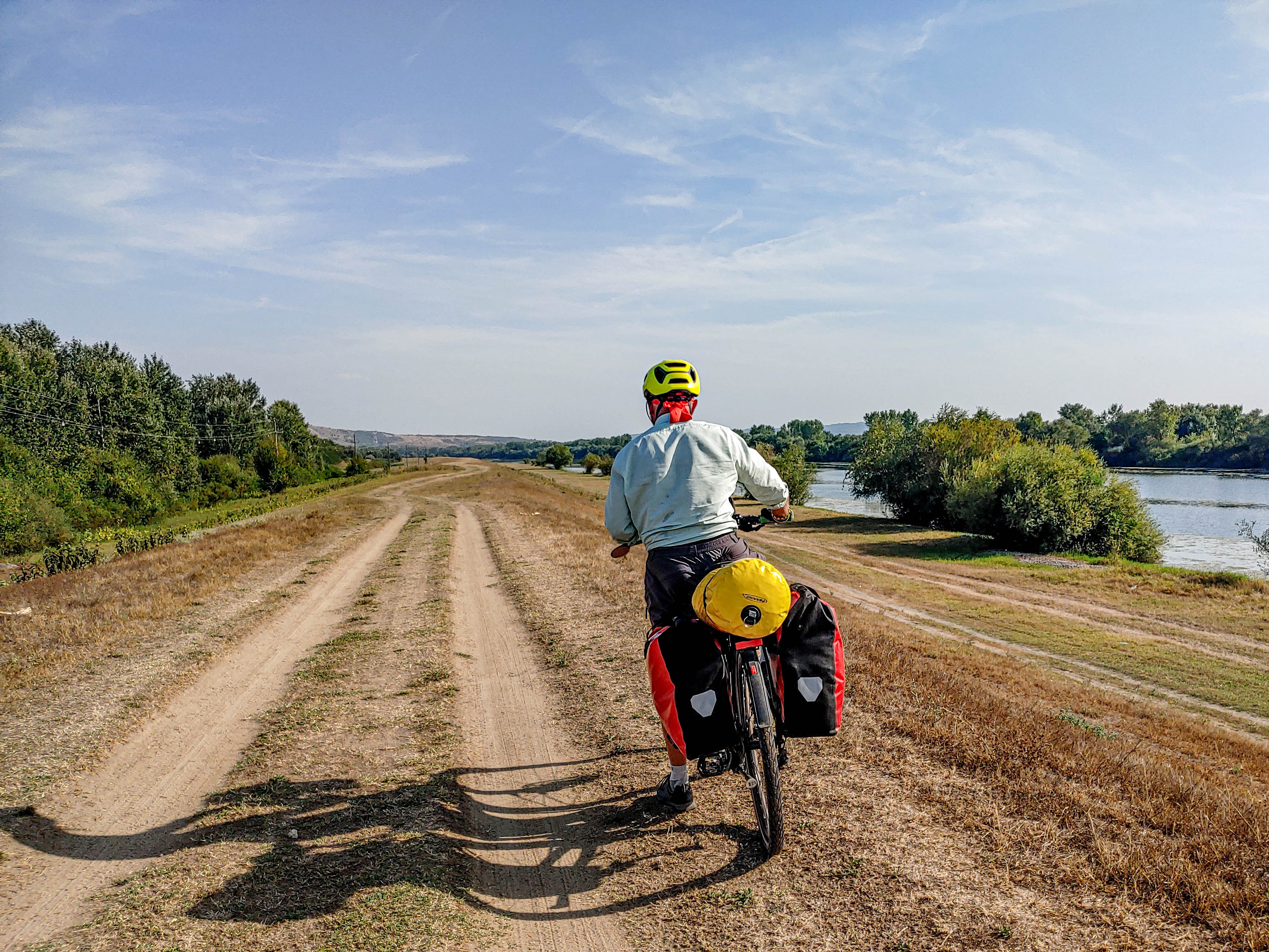
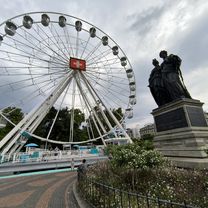
Route photos

Route quality
Waytypes & surfaces along the route
Waytypes
Quiet road
29.7 km
(36 %)
Road
14.1 km
(17 %)
Surfaces
Paved
61.9 km
(75 %)
Unpaved
0.8 km
(1 %)
Asphalt
60.5 km
(74 %)
Concrete
1 km
(1 %)
Continue with Bikemap
Use, edit, or download this cycling route
You would like to ride Lugrin - Viry or customize it for your own trip? Here is what you can do with this Bikemap route:
Free features
- Save this route as favorite or in collections
- Copy & plan your own version of this route
- Split it into stages to create a multi-day tour
- Sync your route with Garmin or Wahoo
Premium features
Free trial for 3 days, or one-time payment. More about Bikemap Premium.
- Navigate this route on iOS & Android
- Export a GPX / KML file of this route
- Create your custom printout (try it for free)
- Download this route for offline navigation
Discover more Premium features.
Get Bikemap PremiumFrom our community
Other popular routes starting in Lugrin
 24-03 St.-Gingolph - Genf
- Distance
- 65 km
- Ascent
- 666 m
- Descent
- 656 m
- Location
- Lugrin, Auvergne-Rhône-Alpes, France
 Montée depuis Meillerie
- Distance
- 27.2 km
- Ascent
- 1,523 m
- Descent
- 1,523 m
- Location
- Lugrin, Auvergne-Rhône-Alpes, France
 Thollon-Genève par le col de Terramont
- Distance
- 69.4 km
- Ascent
- 900 m
- Descent
- 1,472 m
- Location
- Lugrin, Auvergne-Rhône-Alpes, France
 54 Rue St-Roch, Thollon-les-Mémises to 13 Quai Charles Albert Besson, Évian-les-Bains
- Distance
- 11.4 km
- Ascent
- 31 m
- Descent
- 572 m
- Location
- Lugrin, Auvergne-Rhône-Alpes, France
 Lugrin - Viry
- Distance
- 82.3 km
- Ascent
- 799 m
- Descent
- 768 m
- Location
- Lugrin, Auvergne-Rhône-Alpes, France
 Thollon to Morzine return
- Distance
- 94.3 km
- Ascent
- 2,826 m
- Descent
- 2,826 m
- Location
- Lugrin, Auvergne-Rhône-Alpes, France
 127 Route Nationale, Saint-Gingolph to Évian-les-Bains
- Distance
- 14.4 km
- Ascent
- 63 m
- Descent
- 36 m
- Location
- Lugrin, Auvergne-Rhône-Alpes, France
 thollon chapelle abondance
- Distance
- 32 km
- Ascent
- 467 m
- Descent
- 398 m
- Location
- Lugrin, Auvergne-Rhône-Alpes, France
Open it in the app