
1_traversee_volcans-18644772 - 2_cezallier-18644786 - 3_cantal-18644841
A cycling route starting in Clermont-Ferrand, Auvergne-Rhône-Alpes, France.
Overview
About this route
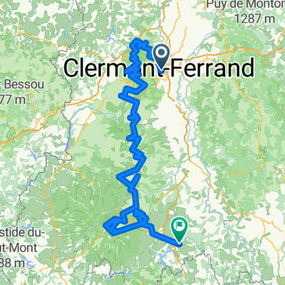
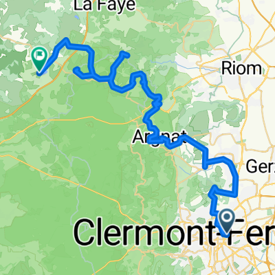
Metrics calculated from imported data Monday, April 1, 2024 10:20 CEST Distance: 80.4 km Duration: 3 hours, 34 minutes and 28 seconds Average speed: 22.5 km/h Minimum altitude: 361 m Maximum altitude: 1447 m Cumulative elevation gain: 1935 m Cumulative elevation loss: 1417 m - Metrics calculated from imported data Monday, April 1, 2024 10:20 CEST Distance: 96.4 km Duration: 4 hours, 17 minutes and 18 seconds Average speed: 22.5 km/h Minimum altitude: 566 m Maximum altitude: 1315 m Cumulative elevation gain: 1662 m Cumulative elevation loss: 1566 m - Metrics calculated from imported data Monday, April 1, 2024 10:20 CEST Distance: 97.3 km Duration: 4 hours, 19 minutes and 38 seconds Average speed: 22.5 km/h Minimum altitude: 622 m Maximum altitude: 1579 m Cumulative elevation gain: 1609 m Cumulative elevation loss: 1964 m
- 6 h 14 min
- Duration
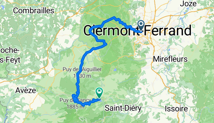
- 82 km
- Distance
- 2,253 m
- Ascent
- 1,737 m
- Descent
- 13.2 km/h
- Avg. speed
- 1,447 m
- Max. altitude

Continue with Bikemap
Use, edit, or download this cycling route
You would like to ride 1_traversee_volcans-18644772 - 2_cezallier-18644786 - 3_cantal-18644841 or customize it for your own trip? Here is what you can do with this Bikemap route:
Free features
- Save this route as favorite or in collections
- Copy & plan your own version of this route
- Split it into stages to create a multi-day tour
- Sync your route with Garmin or Wahoo
Premium features
Free trial for 3 days, or one-time payment. More about Bikemap Premium.
- Navigate this route on iOS & Android
- Export a GPX / KML file of this route
- Create your custom printout (try it for free)
- Download this route for offline navigation
Discover more Premium features.
Get Bikemap PremiumFrom our community
Other popular routes starting in Clermont-Ferrand
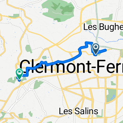 Clermont-Ferrand - Chamalières
- Distance
- 3.5 km
- Ascent
- 37 m
- Descent
- 29 m
- Location
- Clermont-Ferrand, Auvergne-Rhône-Alpes, France
 Rue Philippe Marcombes, Clermont-Ferrand à Le Bourg, Saint-Oradoux-près-Crocq
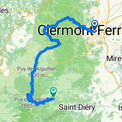
- Distance
- 98.4 km
- Ascent
- 1,875 m
- Descent
- 1,569 m
- Location
- Clermont-Ferrand, Auvergne-Rhône-Alpes, France
 1_traversee_volcans-18644772 - 2_cezallier-18644786 - 3_cantal-18644841
- Distance
- 82 km
- Ascent
- 2,253 m
- Descent
- 1,737 m
- Location
- Clermont-Ferrand, Auvergne-Rhône-Alpes, France
 De Avenue de l'Union Soviétique à D4
- Distance
- 491.1 km
- Ascent
- 11,005 m
- Descent
- 10,504 m
- Location
- Clermont-Ferrand, Auvergne-Rhône-Alpes, France
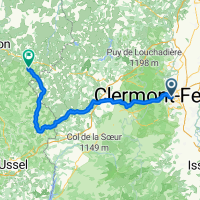
 Clermont-Ferrand - Chapdes-Beaufort
- Distance
- 50.8 km
- Ascent
- 1,210 m
- Descent
- 723 m
- Location
- Clermont-Ferrand, Auvergne-Rhône-Alpes, France
 Clermont AM
- Distance
- 33.1 km
- Ascent
- 1,000 m
- Descent
- 996 m
- Location
- Clermont-Ferrand, Auvergne-Rhône-Alpes, France
 Clermont-Ferrand, Beaumont aller-retour
- Distance
- 9.8 km
- Ascent
- 105 m
- Descent
- 112 m
- Location
- Clermont-Ferrand, Auvergne-Rhône-Alpes, France
 Puy 2022 Leg 1 Clermont-Ferrand - Brassac-les-Mines
- Distance
- 196 km
- Ascent
- 4,219 m
- Descent
- 4,213 m
- Location
- Clermont-Ferrand, Auvergne-Rhône-Alpes, France
Open it in the app