

Schenkenzell-Nordrach und zurück
- 101.3 km
- 1,014 m
- 1,015 m
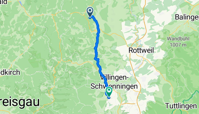
- Schenkenzell, Baden-Wurttemberg, Germany
A cycling route starting in Schenkenzell, Baden-Wurttemberg, Germany.
Overview
created this 4 months ago
Route quality
Quiet road
17.4 km
(45 %)
Cycleway
8.1 km
(21 %)
Paved
30.5 km
(79 %)
Asphalt
29 km
(75 %)
Paved (undefined)
1.5 km
(4 %)
Undefined
8.1 km
(21 %)
Continue with Bikemap
You would like to ride schiltach bubble n brigachtal or customize it for your own trip? Here is what you can do with this Bikemap route:
Free trial for 3 days, or one-time payment. More about Bikemap Premium.
Discover more Premium features.
Get Bikemap PremiumFrom our community
Open it in the app


