
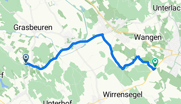
Von Uhldingen-Mühlhofen bis Oberteuringen
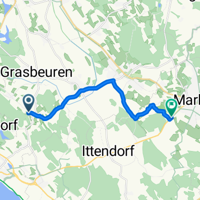
Daisendorf - Markdorf
A cycling route starting in Daisendorf, Baden-Wurttemberg, Germany.
Overview
About this route
- 28 min
- Duration
- 8.5 km
- Distance
- 37 m
- Ascent
- 79 m
- Descent
- 18 km/h
- Avg. speed
- 472 m
- Max. altitude

Part of
Route quality
Waytypes & surfaces along the route
Waytypes
Quiet road
4 km
(47 %)
Path
2 km
(23 %)
Surfaces
Paved
8.4 km
(99 %)
Unpaved
0.1 km
(1 %)
Asphalt
8.4 km
(99 %)
Unpaved (undefined)
0.1 km
(1 %)
Continue with Bikemap
Use, edit, or download this cycling route
You would like to ride Daisendorf - Markdorf or customize it for your own trip? Here is what you can do with this Bikemap route:
Free features
- Save this route as favorite or in collections
- Copy & plan your own version of this route
- Sync your route with Garmin or Wahoo
Premium features
Free trial for 3 days, or one-time payment. More about Bikemap Premium.
- Navigate this route on iOS & Android
- Export a GPX / KML file of this route
- Create your custom printout (try it for free)
- Download this route for offline navigation
Discover more Premium features.
Get Bikemap PremiumFrom our community
Other popular routes starting in Daisendorf
 Daisendorf - Markdorf
- Distance
- 8.5 km
- Ascent
- 37 m
- Descent
- 79 m
- Location
- Daisendorf, Baden-Wurttemberg, Germany
 10.06.09 Unteruhldingen-Überlingen, kl. Rundfahrt
- Distance
- 28.2 km
- Ascent
- 141 m
- Descent
- 145 m
- Location
- Daisendorf, Baden-Wurttemberg, Germany
 10.06.09 Unteruhldingen-Überlingen, kl. Rundfahrt
- Distance
- 28.2 km
- Ascent
- 142 m
- Descent
- 143 m
- Location
- Daisendorf, Baden-Wurttemberg, Germany
 2012-07-14_FN_Nostalgie
- Distance
- 75.7 km
- Ascent
- 597 m
- Descent
- 597 m
- Location
- Daisendorf, Baden-Wurttemberg, Germany
 Bergstraße nach Augustin-Bea-Straße
- Distance
- 25.8 km
- Ascent
- 144 m
- Descent
- 121 m
- Location
- Daisendorf, Baden-Wurttemberg, Germany
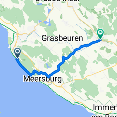 Obere Roggenlehen 4A nach Salemer Straße
- Distance
- 12.2 km
- Ascent
- 196 m
- Descent
- 187 m
- Location
- Daisendorf, Baden-Wurttemberg, Germany
 Familien Radtour
- Distance
- 22.8 km
- Ascent
- 255 m
- Descent
- 252 m
- Location
- Daisendorf, Baden-Wurttemberg, Germany
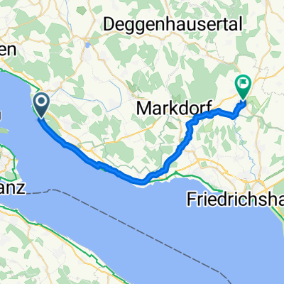
 Von Meersburg ins Pfrungener Ried
- Distance
- 99.5 km
- Ascent
- 667 m
- Descent
- 667 m
- Location
- Daisendorf, Baden-Wurttemberg, Germany
Open it in the app