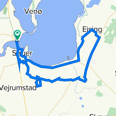
Sønderskovvej, Struer nach Hovedvejen, Thyholm
- 15.6 km
- 60 m
- 72 m
- Struer Municipality, Central Jutland, Denmark
A cycling route starting in Struer Municipality, Central Jutland, Denmark.
Overview
created this 8 months ago


Route quality
Cycleway
5.4 km
35 %
Quiet road
4 km
26 %
Paved
13.5 km
(87 %)
Unpaved
1.7 km
(11 %)
Asphalt
13.5 km
87 %
Gravel
1.7 km
11 %
Undefined
0.3 km
2 %
Continue with Bikemap
You would like to ride Sønderskovvej, Struer nach Hovedvejen, Thyholm or customize it for your own trip? Here is what you can do with this Bikemap route:
Free trial for 3 days, or one-time payment. More about Bikemap Premium.
Discover more Premium features.
Get Bikemap PremiumFrom our community
Open it in the app