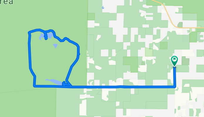

day_6
- 106.7 km
- 591 m
- 347 m
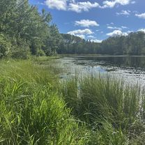
- Washburn, Wisconsin, United States
A cycling route starting in Washburn, Wisconsin, United States.
Overview
created this 8 months ago


Route quality
Quiet road
23.7 km
87 %
Access road
3.3 km
12 %
Track
0.5 km
2 %
Paved
8.4 km
(31 %)
Unpaved
6 km
(22 %)
Asphalt
8.4 km
31 %
Unpaved (undefined)
3 km
11 %
Continue with Bikemap
You would like to ride Robert and Patricia ride to Long Lake and to the campground and back Washburn or customize it for your own trip? Here is what you can do with this Bikemap route:
Free trial for 3 days, or one-time payment. More about Bikemap Premium.
Discover more Premium features.
Get Bikemap PremiumFrom our community
Open it in the app