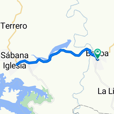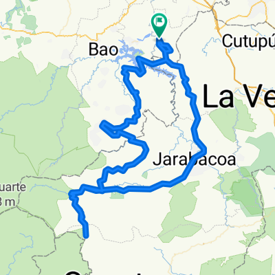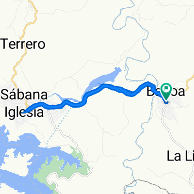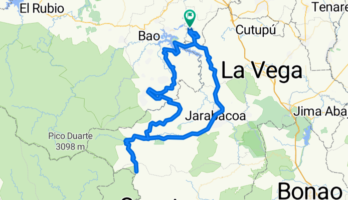

Carretera Baitoa - Presa de Tavera, Santiago de los Caballeros a Carretera Baitoa - Presa de Tavera, Santiago de los Caballeros
- 18 km
- 298 m
- 299 m
- Baitoa, Santiago Province, Dominican Republic