
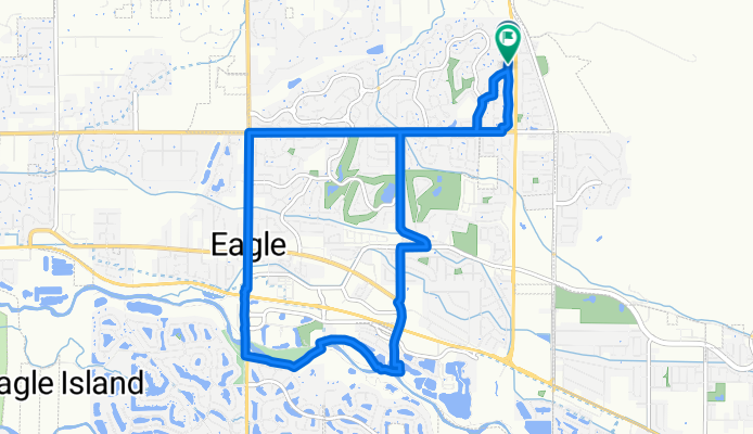
Route #4
A cycling route starting in Eagle, Idaho, United States.
Overview
About this route
- 36 min
- Duration
- 12.5 km
- Distance
- 41 m
- Ascent
- 40 m
- Descent
- 20.6 km/h
- Avg. speed
- 822 m
- Max. altitude

Route quality
Waytypes & surfaces along the route
Waytypes
Road
2.7 km
(22 %)
Path
2.7 km
(22 %)
Surfaces
Paved
11.3 km
(91 %)
Unpaved
1 km
(8 %)
Asphalt
11.1 km
(89 %)
Unpaved (undefined)
0.7 km
(6 %)
Continue with Bikemap
Use, edit, or download this cycling route
You would like to ride Route #4 or customize it for your own trip? Here is what you can do with this Bikemap route:
Free features
- Save this route as favorite or in collections
- Copy & plan your own version of this route
- Sync your route with Garmin or Wahoo
Premium features
Free trial for 3 days, or one-time payment. More about Bikemap Premium.
- Navigate this route on iOS & Android
- Export a GPX / KML file of this route
- Create your custom printout (try it for free)
- Download this route for offline navigation
Discover more Premium features.
Get Bikemap PremiumFrom our community
Other popular routes starting in Eagle
 eagle river route
- Distance
- 25.6 km
- Ascent
- 50 m
- Descent
- 49 m
- Location
- Eagle, Idaho, United States
 Quick ride through Eagle
- Distance
- 4 km
- Ascent
- 9 m
- Descent
- 9 m
- Location
- Eagle, Idaho, United States
 Ride to Oregon and Back
- Distance
- 173.4 km
- Ascent
- 463 m
- Descent
- 462 m
- Location
- Eagle, Idaho, United States
 Home - PP - BMF - Home
- Distance
- 12.1 km
- Ascent
- 10 m
- Descent
- 9 m
- Location
- Eagle, Idaho, United States
 Pierce Park Loop
- Distance
- 18.3 km
- Ascent
- 351 m
- Descent
- 352 m
- Location
- Eagle, Idaho, United States
 Slow ride in Eagle
- Distance
- 5.5 km
- Ascent
- 4 m
- Descent
- 4 m
- Location
- Eagle, Idaho, United States
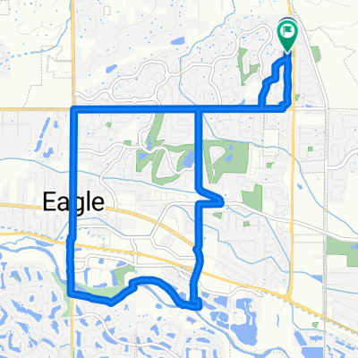 Route #4
- Distance
- 12.5 km
- Ascent
- 41 m
- Descent
- 40 m
- Location
- Eagle, Idaho, United States
 boise
boise- Distance
- 13.1 km
- Ascent
- 141 m
- Descent
- 111 m
- Location
- Eagle, Idaho, United States
Open it in the app