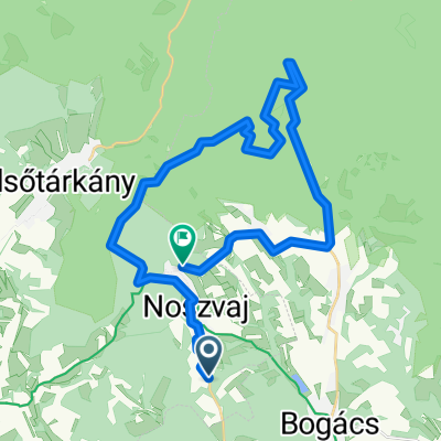


2026. Bükk 2. nap
- 50 km
- 781 m
- 781 m
- Bogács, Borsod-Abauj Zemplen county, Hungary
A cycling route starting in Bogács, Borsod-Abauj Zemplen county, Hungary.
Overview
created this 4 months ago
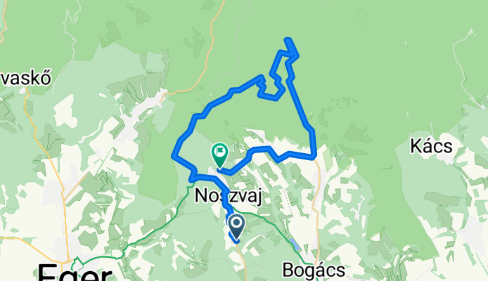
Route quality
Track
23.9 km
(71 %)
Quiet road
3.7 km
(11 %)
Paved
4 km
(12 %)
Unpaved
18.9 km
(56 %)
Gravel
17.2 km
(51 %)
Asphalt
4 km
(12 %)
Continue with Bikemap
You would like to ride Noszvaj - Tölgyes utca or customize it for your own trip? Here is what you can do with this Bikemap route:
Free trial for 3 days, or one-time payment. More about Bikemap Premium.
Discover more Premium features.
Get Bikemap PremiumFrom our community
Open it in the app