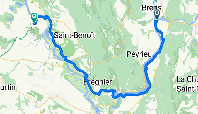
De Rue des Moulins à Chemin du Pailleret
- 9.7 km
- 127 m
- 227 m
- Yenne, Auvergne-Rhône-Alpes, France
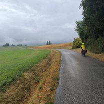
A cycling route starting in Yenne, Auvergne-Rhône-Alpes, France.
Overview
created this 3 months ago

Route quality
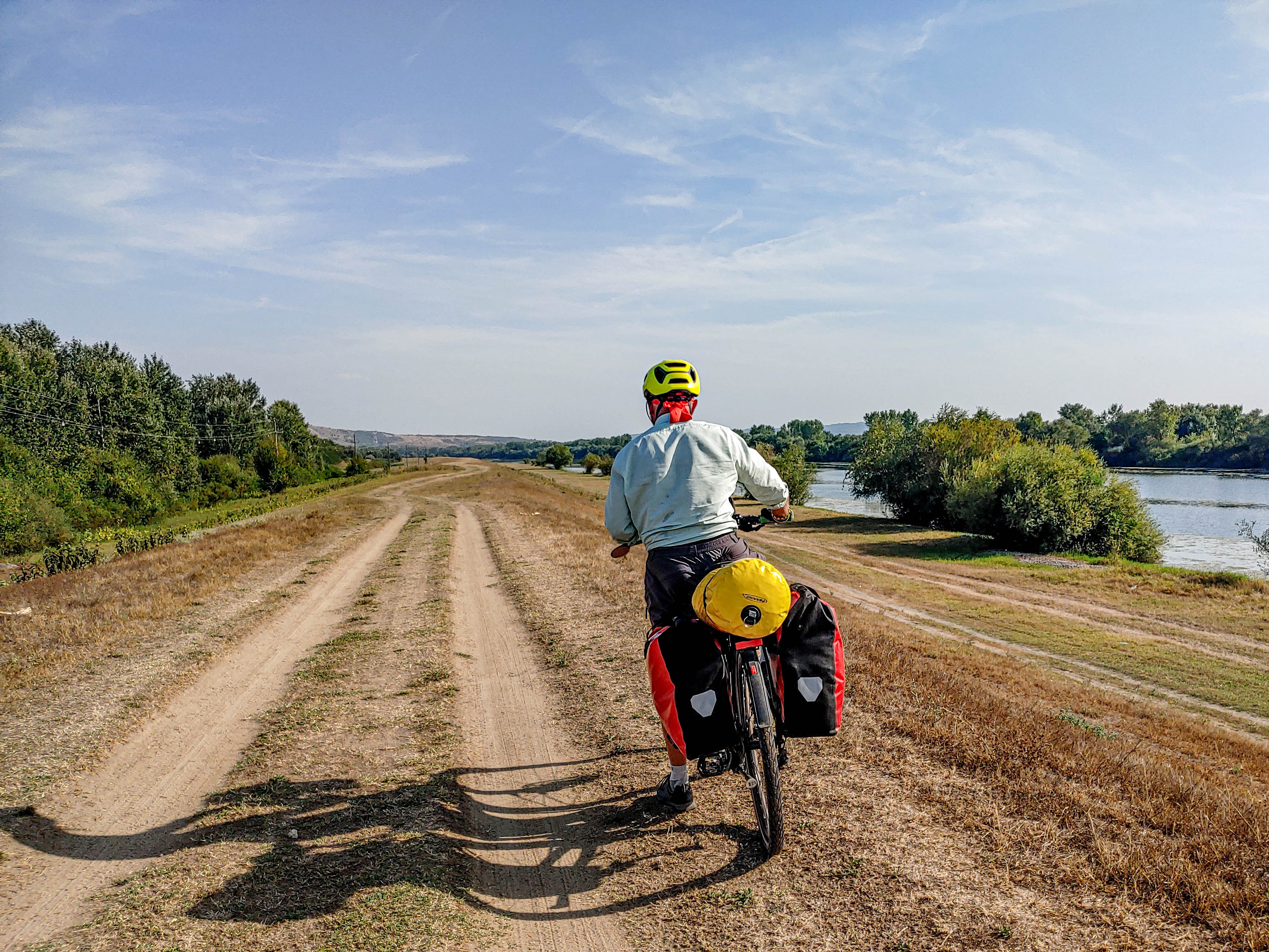
Path
18.1 km
(56 %)
Quiet road
9 km
(28 %)
Paved
27.1 km
(84 %)
Asphalt
27.1 km
(84 %)
Undefined
5.2 km
(16 %)
Continue with Bikemap
You would like to ride Park pri Seyssel - Brangues or customize it for your own trip? Here is what you can do with this Bikemap route:
Free trial for 3 days, or one-time payment. More about Bikemap Premium.
Discover more Premium features.
Get Bikemap PremiumFrom our community
Open it in the app