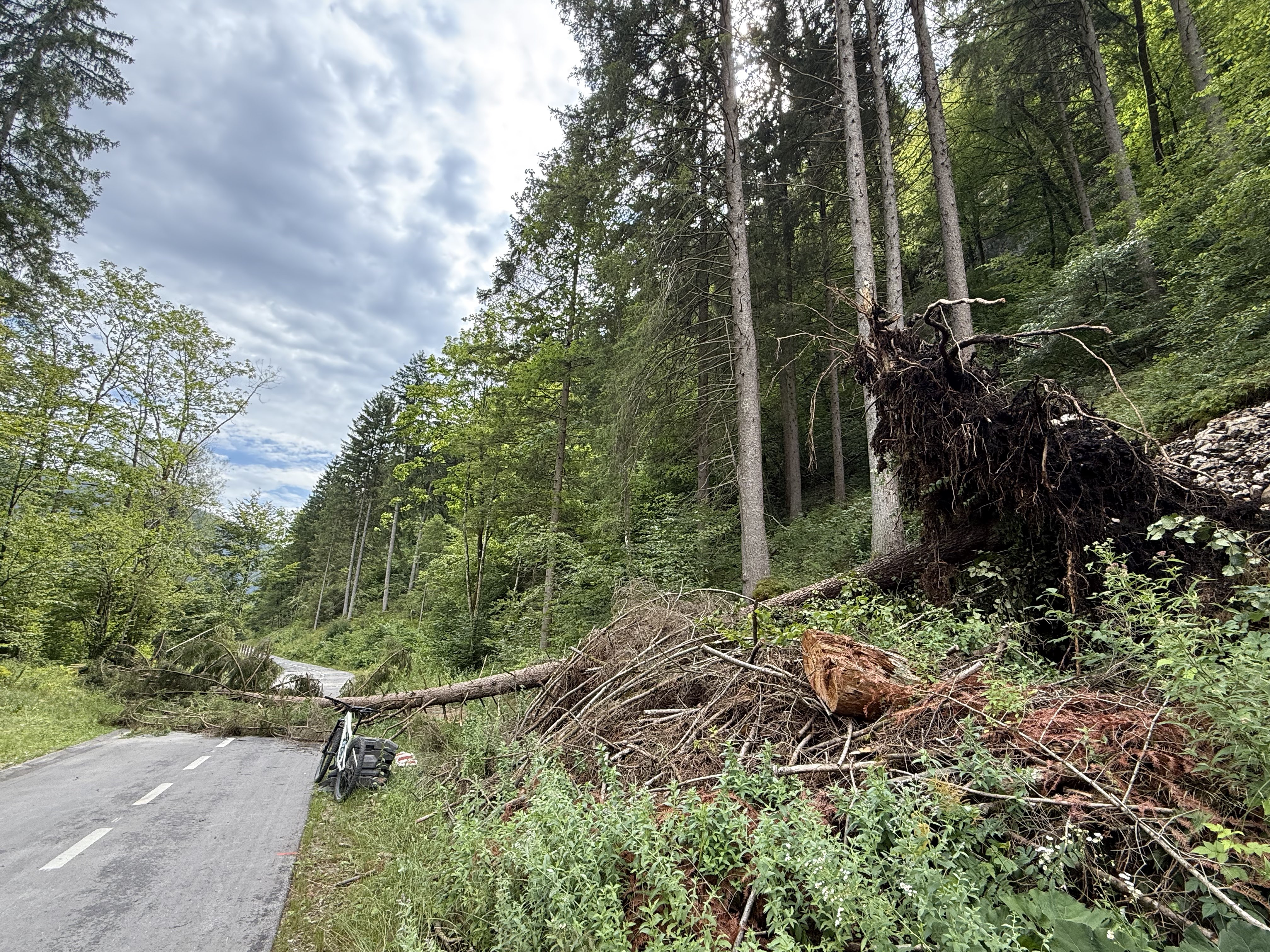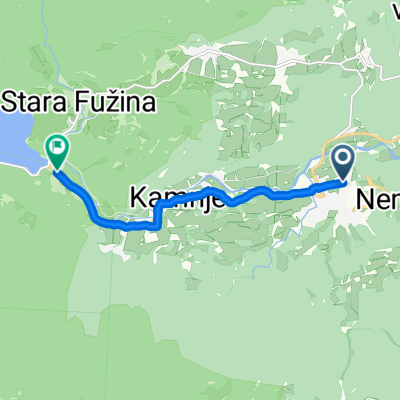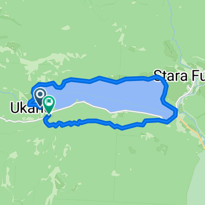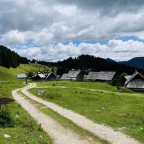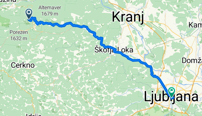

Pokljuka MTB
- 22.9 km
- 832 m
- 835 m
- Bohinjska Bistrica, Bohinj Municipality, Slovenia
villach-bled-ljubljana-villach
A cycling route starting in Bohinjska Bistrica, Bohinj Municipality, Slovenia.
Overview
created this 3 months ago
Part of
7 stages
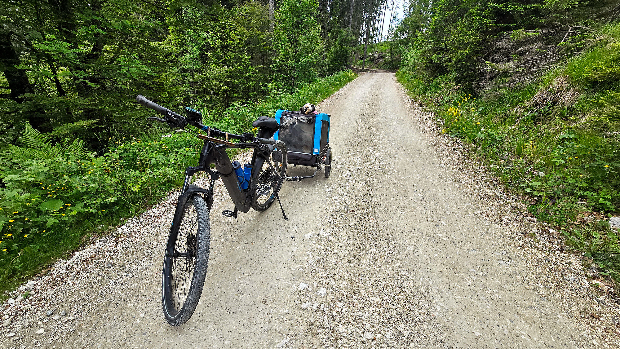
Route quality
Quiet road
33.4 km
(55 %)
Path
7.9 km
(13 %)
Paved
39.5 km
(65 %)
Unpaved
12.1 km
(20 %)
Asphalt
38.9 km
(64 %)
Gravel
10.3 km
(17 %)
Continue with Bikemap
You would like to ride Bohinjska Bistrica - Železniki or customize it for your own trip? Here is what you can do with this Bikemap route:
Free trial for 3 days, or one-time payment. More about Bikemap Premium.
Discover more Premium features.
Get Bikemap PremiumFrom our community
Open it in the app