
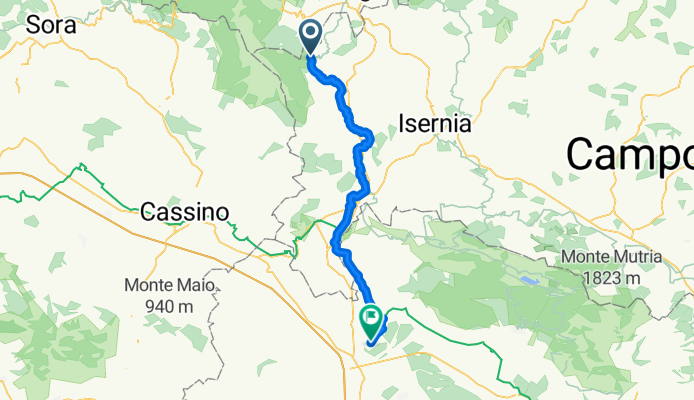
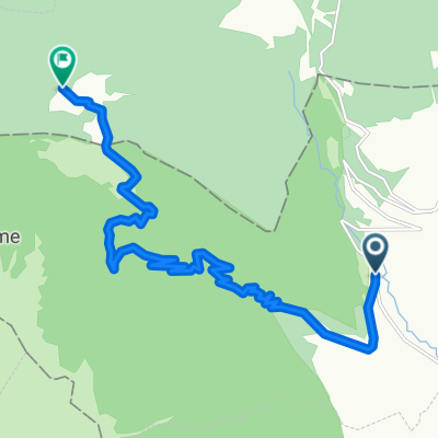
Pizzone - Marcianise
A cycling route starting in Pizzone, Molise, Italy.
Overview
About this route
- 3 h 29 min
- Duration
- 56.3 km
- Distance
- 644 m
- Ascent
- 1,273 m
- Descent
- 16.2 km/h
- Avg. speed
- 772 m
- Max. altitude

Route quality
Waytypes & surfaces along the route
Waytypes
Quiet road
41.1 km
(73 %)
Access road
6.2 km
(11 %)
Surfaces
Paved
15.8 km
(28 %)
Unpaved
0.6 km
(1 %)
Asphalt
15.8 km
(28 %)
Gravel
0.6 km
(1 %)
Undefined
39.9 km
(71 %)
Continue with Bikemap
Use, edit, or download this cycling route
You would like to ride Pizzone - Marcianise or customize it for your own trip? Here is what you can do with this Bikemap route:
Free features
- Save this route as favorite or in collections
- Copy & plan your own version of this route
- Sync your route with Garmin or Wahoo
Premium features
Free trial for 3 days, or one-time payment. More about Bikemap Premium.
- Navigate this route on iOS & Android
- Export a GPX / KML file of this route
- Create your custom printout (try it for free)
- Download this route for offline navigation
Discover more Premium features.
Get Bikemap PremiumFrom our community
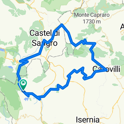
Other popular routes starting in Pizzone
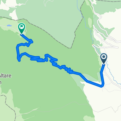 Salita Valle Fiorita
- Distance
- 10.9 km
- Ascent
- 823 m
- Descent
- 104 m
- Location
- Pizzone, Molise, Italy
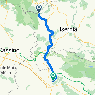 Pizzone - Marcianise
- Distance
- 56.3 km
- Ascent
- 644 m
- Descent
- 1,273 m
- Location
- Pizzone, Molise, Italy
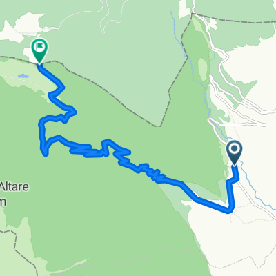 passo calvario
- Distance
- 11.9 km
- Ascent
- 813 m
- Descent
- 24 m
- Location
- Pizzone, Molise, Italy
 ggg
ggg- Distance
- 13.3 km
- Ascent
- 1,028 m
- Descent
- 275 m
- Location
- Pizzone, Molise, Italy
 provaaa
- Distance
- 106.5 km
- Ascent
- 1,613 m
- Descent
- 1,613 m
- Location
- Pizzone, Molise, Italy
Open it in the app