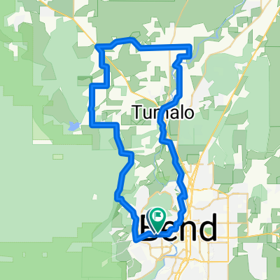
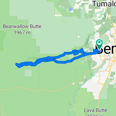
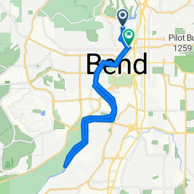
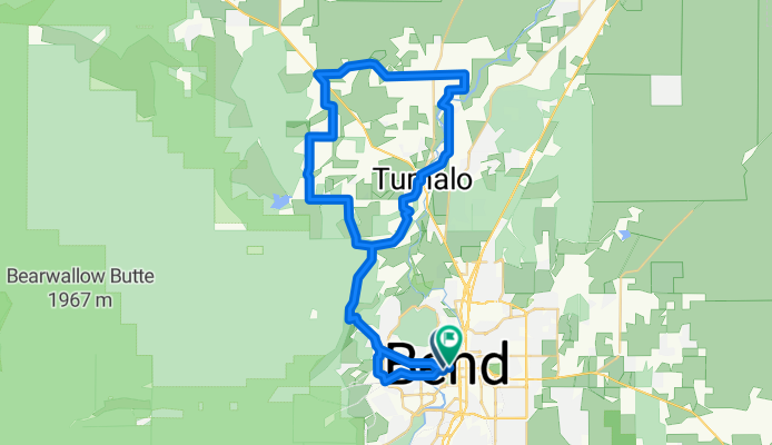
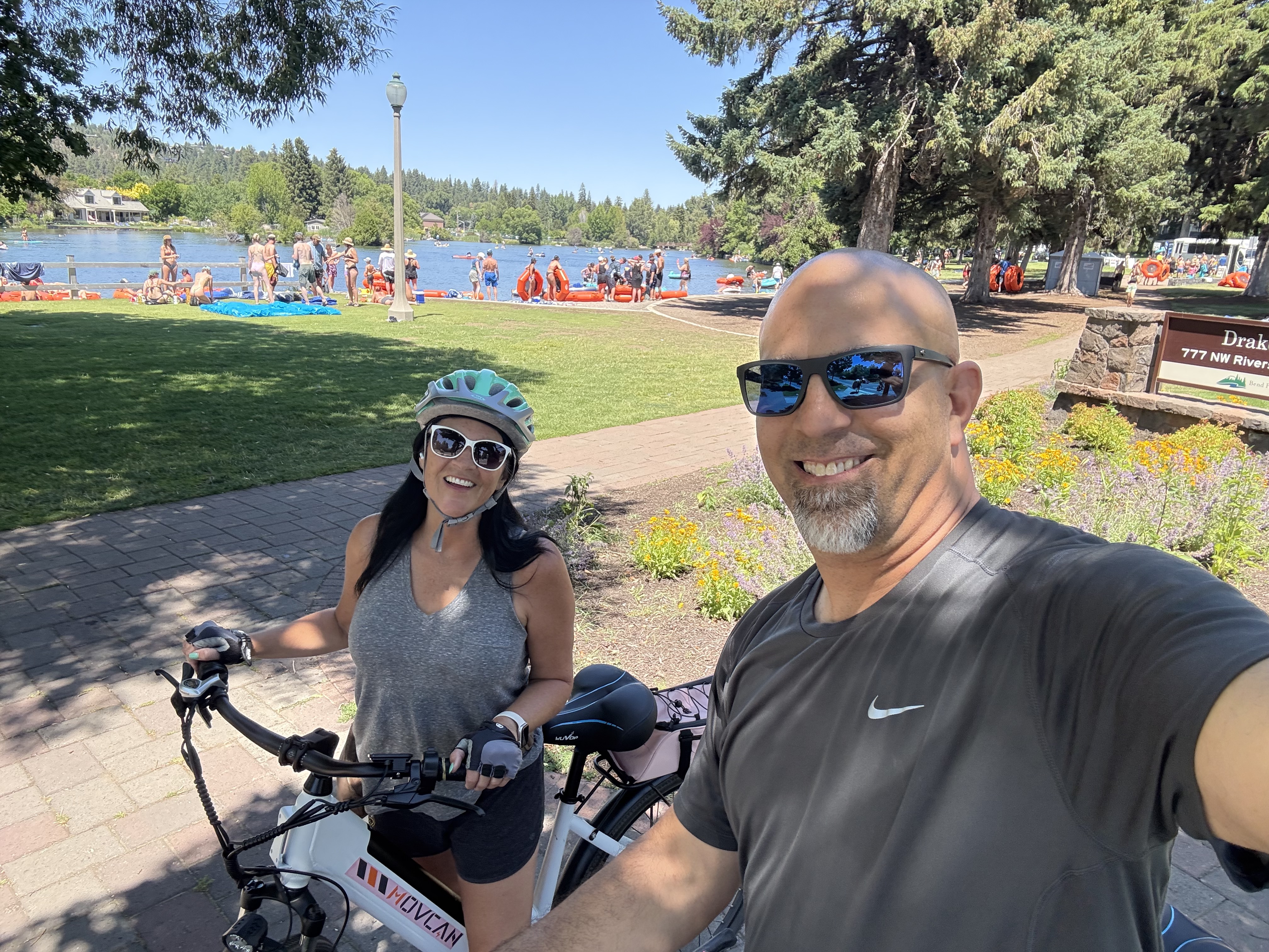
Twin Bridges Scenic -Bend to Tumalo
A cycling route starting in Bend, Oregon, United States.
Overview
About this route
- 3 h 27 min
- Duration
- 58.7 km
- Distance
- 561 m
- Ascent
- 563 m
- Descent
- 17 km/h
- Avg. speed
- 1,157 m
- Max. altitude
Route quality
Waytypes & surfaces along the route
Waytypes
Road
31.9 km
(54 %)
Quiet road
16.4 km
(28 %)
Surfaces
Paved
16.5 km
(28 %)
Paved (undefined)
10.4 km
(18 %)
Asphalt
5.9 km
(10 %)
Continue with Bikemap
Use, edit, or download this cycling route
You would like to ride Twin Bridges Scenic -Bend to Tumalo or customize it for your own trip? Here is what you can do with this Bikemap route:
Free features
- Save this route as favorite or in collections
- Copy & plan your own version of this route
- Sync your route with Garmin or Wahoo
Premium features
Free trial for 3 days, or one-time payment. More about Bikemap Premium.
- Navigate this route on iOS & Android
- Export a GPX / KML file of this route
- Create your custom printout (try it for free)
- Download this route for offline navigation
Discover more Premium features.
Get Bikemap PremiumFrom our community
Other popular routes starting in Bend
- Tumalo Loop from Home
- Distance
- 39.5 km
- Ascent
- 276 m
- Descent
- 274 m
- Location
- Bend, Oregon, United States
- Cascades100-2017
- Distance
- 160.4 km
- Ascent
- 2,118 m
- Descent
- 2,118 m
- Location
- Bend, Oregon, United States
- 20807 SE King Hezekiah Way, Bend to 20807 SE King Hezekiah Way, Bend
- Distance
- 19.6 km
- Ascent
- 131 m
- Descent
- 132 m
- Location
- Bend, Oregon, United States
- Jill - Daily Summer Commute
- Distance
- 9.2 km
- Ascent
- 16 m
- Descent
- 97 m
- Location
- Bend, Oregon, United States
- Pronghorn
- Distance
- 18.2 km
- Ascent
- 20 m
- Descent
- 127 m
- Location
- Bend, Oregon, United States
- Twin Bridges Scenic -Bend to Tumalo
- Distance
- 58.7 km
- Ascent
- 561 m
- Descent
- 563 m
- Location
- Bend, Oregon, United States
- Untitled route
- Distance
- 7.4 km
- Ascent
- 67 m
- Descent
- 195 m
- Location
- Bend, Oregon, United States
- The Old Mill District
- Distance
- 7.2 km
- Ascent
- 38 m
- Descent
- 39 m
- Location
- Bend, Oregon, United States
Open it in the app