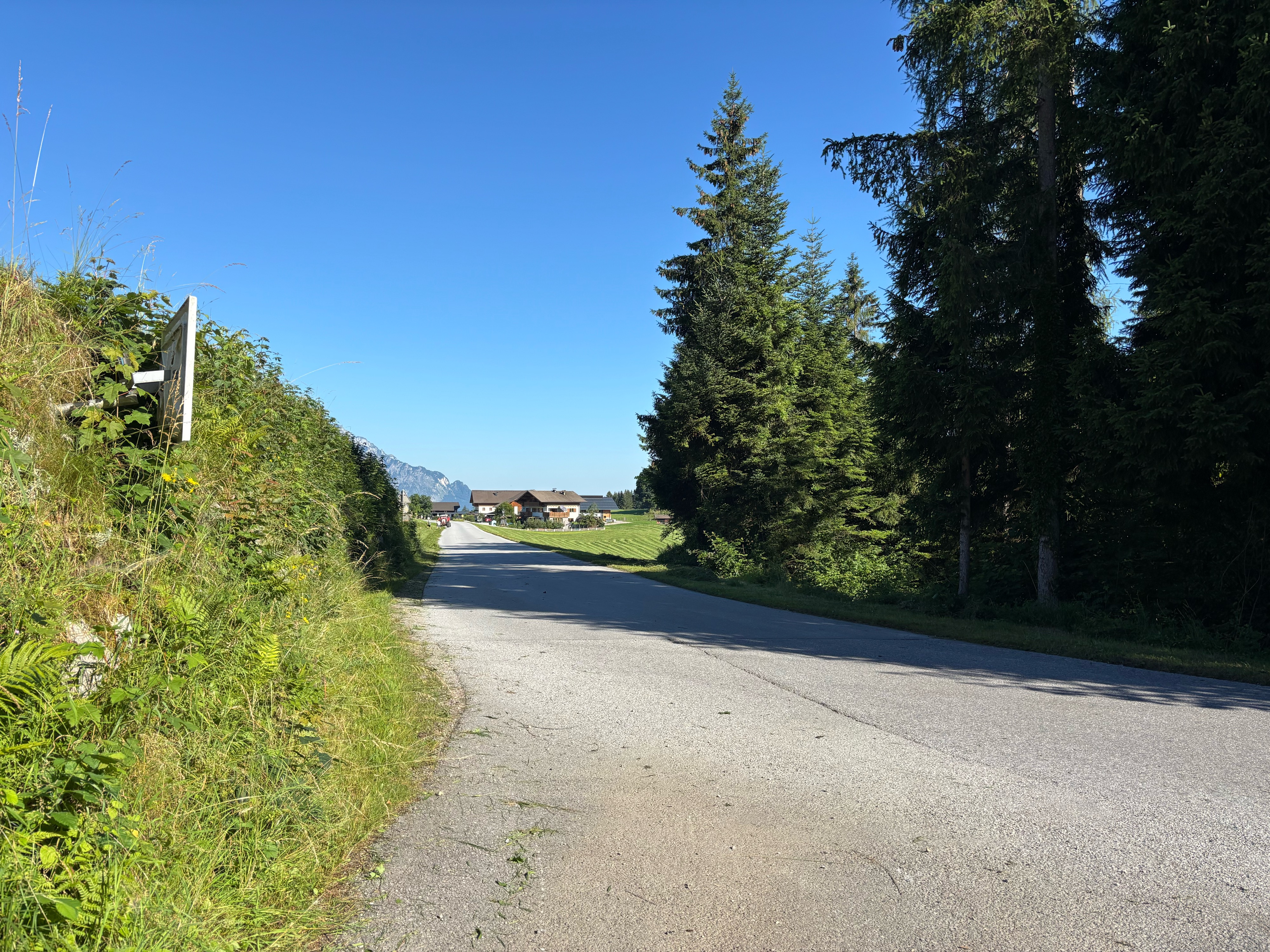
Watzmann - Hochkönig (3 Tages MTB-Tour)
A cycling route starting in Hallein, Salzburg, Austria.
Overview
About this route
<span style="font-size: 8pt; font-family: "Times New Roman","serif";">1.Tag:</span>
<span style="font-size: 8pt; font-family: "Times New Roman","serif";">Hallein - Rossfeldalm 1410m - Berchtesgaden</span>
<span style="font-size: 8pt; font-family: "Times New Roman","serif";"> </span>
<span style="font-size: 8pt; font-family: "Times New Roman","serif";">2.Tag:</span>
<span style="font-size: 8pt; font-family: "Times New Roman","serif";">Berchtesgaden
- Königssee - Hintersee - </span><span style="font-size: 8pt; font-family: "Times New Roman","serif";">Hischbichl - </span><span style="font-size: 8pt; font-family: "Times New Roman","serif";">Saalfelden - Maria Alm
- Jausenstation Natun 1070m</span>
<span style="font-size: 8pt; font-family: "Times New Roman","serif";"> </span>
<span style="font-size: 8pt; font-family: "Times New Roman","serif";">3. Tag:</span>
<span style="font-size: 8pt; font-family: "Times New Roman","serif";">Maria Alm/Sonnberg - Dickachwald - Hochmeisalm -</span>
<span style="font-size: 8pt; font-family: "Times New Roman","serif";">Filzensattel - Mittereggalm 1400m - Mühlbach am </span>
<span style="font-size: 8pt; font-family: "Times New Roman","serif";">Hochkönig
- Bischofshofen</span>
- -:--
- Duration
- 137.3 km
- Distance
- 2,882 m
- Ascent
- 2,801 m
- Descent
- ---
- Avg. speed
- ---
- Max. altitude
Continue with Bikemap
Use, edit, or download this cycling route
You would like to ride Watzmann - Hochkönig (3 Tages MTB-Tour) or customize it for your own trip? Here is what you can do with this Bikemap route:
Free features
- Save this route as favorite or in collections
- Copy & plan your own version of this route
- Split it into stages to create a multi-day tour
- Sync your route with Garmin or Wahoo
Premium features
Free trial for 3 days, or one-time payment. More about Bikemap Premium.
- Navigate this route on iOS & Android
- Export a GPX / KML file of this route
- Create your custom printout (try it for free)
- Download this route for offline navigation
Discover more Premium features.
Get Bikemap PremiumFrom our community
Other popular routes starting in Hallein
 Rund um den Untersberg
- Distance
- 56.5 km
- Ascent
- 1,237 m
- Descent
- 1,234 m
- Location
- Hallein, Salzburg, Austria
 Schlenken
- Distance
- 37.4 km
- Ascent
- 1,186 m
- Descent
- 1,186 m
- Location
- Hallein, Salzburg, Austria
 Rund um den Hohen Göll
- Distance
- 61.3 km
- Ascent
- 1,903 m
- Descent
- 1,900 m
- Location
- Hallein, Salzburg, Austria
 Hallein – Trattberg über Sommerau – Salzburg
- Distance
- 65.2 km
- Ascent
- 1,441 m
- Descent
- 1,457 m
- Location
- Hallein, Salzburg, Austria
 Vigaun - Dürrnberg
- Distance
- 11.3 km
- Ascent
- 491 m
- Descent
- 109 m
- Location
- Hallein, Salzburg, Austria
 Solnograško 1. dan
- Distance
- 59.4 km
- Ascent
- 294 m
- Descent
- 235 m
- Location
- Hallein, Salzburg, Austria
 Lange Ausfahrt durch 'Hallein'
- Distance
- 32 km
- Ascent
- 368 m
- Descent
- 362 m
- Location
- Hallein, Salzburg, Austria
 Bergalm/Hintersee
- Distance
- 55.8 km
- Ascent
- 1,048 m
- Descent
- 1,048 m
- Location
- Hallein, Salzburg, Austria
Open it in the app


