
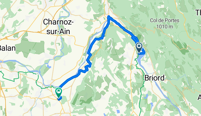
Ballee Bleue - Saint Romain-de Jalionas
A cycling route starting in Montalieu, Auvergne-Rhône-Alpes, France.
Overview
About this route
- 5 h 13 min
- Duration
- 39.6 km
- Distance
- 386 m
- Ascent
- 443 m
- Descent
- 7.6 km/h
- Avg. speed
- 264 m
- Max. altitude
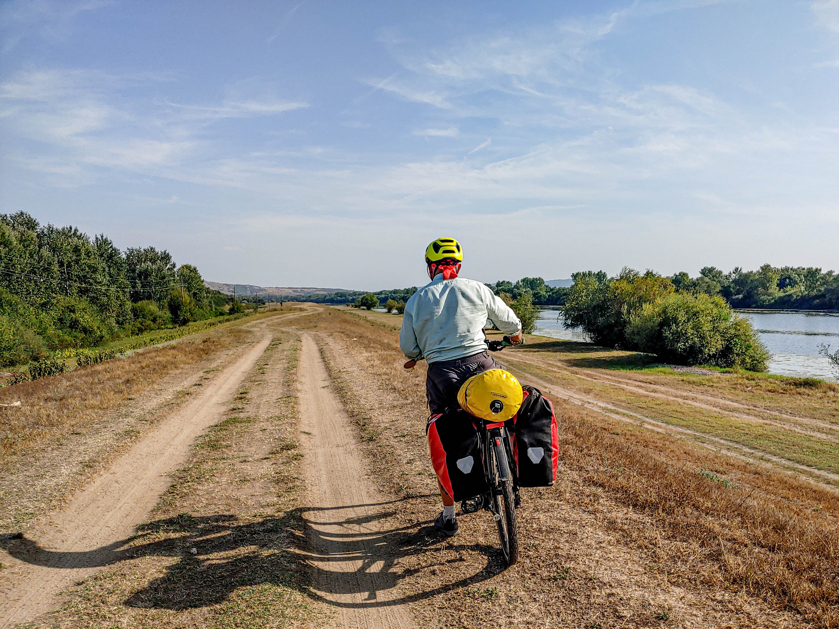
Route photos


Route quality
Waytypes & surfaces along the route
Waytypes
Cycleway
14.7 km
(37 %)
Quiet road
7.9 km
(20 %)
Surfaces
Paved
27.3 km
(69 %)
Unpaved
2 km
(5 %)
Asphalt
27.3 km
(69 %)
Loose gravel
2 km
(5 %)
Undefined
10.3 km
(26 %)
Continue with Bikemap
Use, edit, or download this cycling route
You would like to ride Ballee Bleue - Saint Romain-de Jalionas or customize it for your own trip? Here is what you can do with this Bikemap route:
Free features
- Save this route as favorite or in collections
- Copy & plan your own version of this route
- Sync your route with Garmin or Wahoo
Premium features
Free trial for 3 days, or one-time payment. More about Bikemap Premium.
- Navigate this route on iOS & Android
- Export a GPX / KML file of this route
- Create your custom printout (try it for free)
- Download this route for offline navigation
Discover more Premium features.
Get Bikemap PremiumFrom our community
Other popular routes starting in Montalieu
 Ballee Bleue - Saint Romain-de Jalionas
- Distance
- 39.6 km
- Ascent
- 386 m
- Descent
- 443 m
- Location
- Montalieu, Auvergne-Rhône-Alpes, France
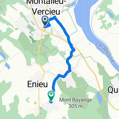 De Grande Rue à Chemin du Buis
- Distance
- 5 km
- Ascent
- 87 m
- Descent
- 6 m
- Location
- Montalieu, Auvergne-Rhône-Alpes, France
 Montagnieu - Chanaz
- Distance
- 79.9 km
- Ascent
- 401 m
- Descent
- 374 m
- Location
- Montalieu, Auvergne-Rhône-Alpes, France
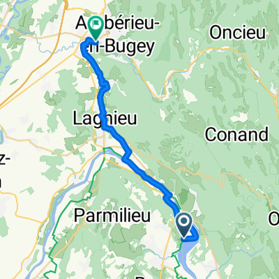 vallee bleue to amberieu station
- Distance
- 22 km
- Ascent
- 114 m
- Descent
- 70 m
- Location
- Montalieu, Auvergne-Rhône-Alpes, France
 De Unnamed Road, Montalieu-Vercieu à Rue du Rhône 75, Montalieu-Vercieu
- Distance
- 29.2 km
- Ascent
- 167 m
- Descent
- 167 m
- Location
- Montalieu, Auvergne-Rhône-Alpes, France
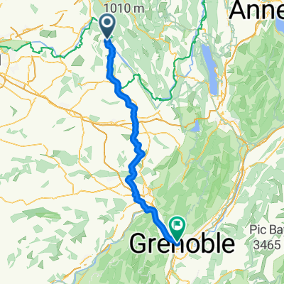 Montalieu - Saint-Martin-le-Vinoux
- Distance
- 98.7 km
- Ascent
- 1,107 m
- Descent
- 1,097 m
- Location
- Montalieu, Auvergne-Rhône-Alpes, France
 De Rue du Rhône 75, Montalieu-Vercieu à Place Charles de Gaulle 7, Vienne
- Distance
- 97.9 km
- Ascent
- 1,593 m
- Descent
- 1,629 m
- Location
- Montalieu, Auvergne-Rhône-Alpes, France
 3a Le Vernay - Lyon
- Distance
- 61 km
- Ascent
- 331 m
- Descent
- 414 m
- Location
- Montalieu, Auvergne-Rhône-Alpes, France
Open it in the app