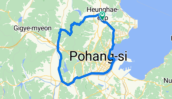

흥해읍 ~ 흥해읍 8-12
- 70.6 km
- 471 m
- 518 m
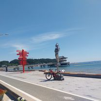
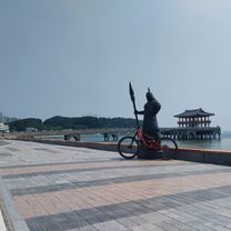
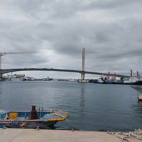
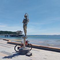
- Heunghae, Gyeongsangbuk-do, South Korea
A cycling route starting in Heunghae, Gyeongsangbuk-do, South Korea.
Overview
created this 3 months ago


Continue with Bikemap
You would like to ride 흥해읍 8-12 ~ 흥해읍 8-12 or customize it for your own trip? Here is what you can do with this Bikemap route:
Free trial for 3 days, or one-time payment. More about Bikemap Premium.
Discover more Premium features.
Get Bikemap PremiumFrom our community
Open it in the app