

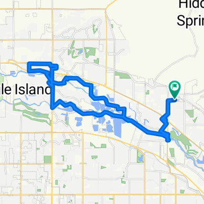
W Gillis Dr, Boise to W Gillis Dr, Boise
A cycling route starting in Eagle, Idaho, United States.
Overview
About this route
- 1 h 49 min
- Duration
- 23.1 km
- Distance
- 51 m
- Ascent
- 51 m
- Descent
- 12.8 km/h
- Avg. speed
- 803 m
- Max. altitude

Continue with Bikemap
Use, edit, or download this cycling route
You would like to ride W Gillis Dr, Boise to W Gillis Dr, Boise or customize it for your own trip? Here is what you can do with this Bikemap route:
Free features
- Save this route as favorite or in collections
- Copy & plan your own version of this route
- Sync your route with Garmin or Wahoo
Premium features
Free trial for 3 days, or one-time payment. More about Bikemap Premium.
- Navigate this route on iOS & Android
- Export a GPX / KML file of this route
- Create your custom printout (try it for free)
- Download this route for offline navigation
Discover more Premium features.
Get Bikemap PremiumFrom our community
Other popular routes starting in Eagle
 Eagle to World Cycle
- Distance
- 13.5 km
- Ascent
- 52 m
- Descent
- 18 m
- Location
- Eagle, Idaho, United States
 W Gillis Dr, Boise to W Gillis Dr, Boise
- Distance
- 29.8 km
- Ascent
- 103 m
- Descent
- 99 m
- Location
- Eagle, Idaho, United States
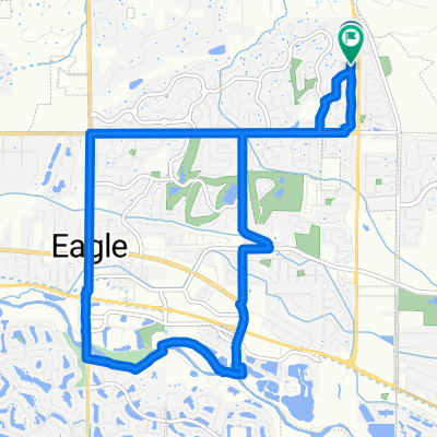
 Slow ride in Eagle
- Distance
- 5.5 km
- Ascent
- 4 m
- Descent
- 4 m
- Location
- Eagle, Idaho, United States
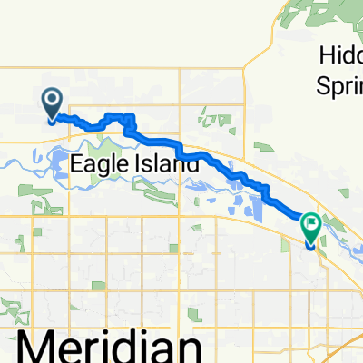 From Eagle to Garden City
- Distance
- 17.9 km
- Ascent
- 41 m
- Descent
- 3 m
- Location
- Eagle, Idaho, United States
 Quick ride through Eagle
- Distance
- 4 km
- Ascent
- 9 m
- Descent
- 9 m
- Location
- Eagle, Idaho, United States
 Route #4
- Distance
- 12.5 km
- Ascent
- 41 m
- Descent
- 40 m
- Location
- Eagle, Idaho, United States
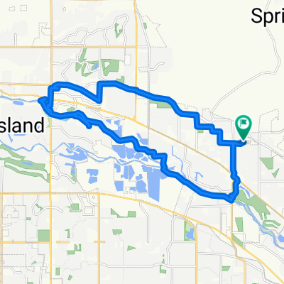
 eagle river route
- Distance
- 25.6 km
- Ascent
- 50 m
- Descent
- 49 m
- Location
- Eagle, Idaho, United States
 W Gillis Dr, Boise to W Gillis Dr, Boise
- Distance
- 23.1 km
- Ascent
- 51 m
- Descent
- 51 m
- Location
- Eagle, Idaho, United States
Open it in the app