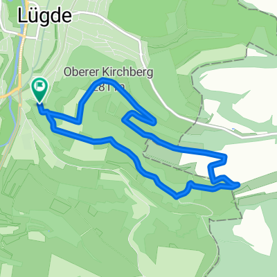


Asternweg, Lügde nach Lügde
- 16.9 km
- 400 m
- 72 m
- Lügde, North Rhine-Westphalia, Germany
A cycling route starting in Lügde, North Rhine-Westphalia, Germany.
Overview
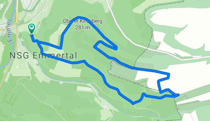
This hiking trail runs along parts of the old Kirchbergweg, which was used over 700 years ago by the mountain villages of Pyrmont to reach the Church of St. Kilian.
created this 3 months ago
Continue with Bikemap
You would like to ride Der Kirchbergweg (Bad Pyrmont) or customize it for your own trip? Here is what you can do with this Bikemap route:
Free trial for 3 days, or one-time payment. More about Bikemap Premium.
Discover more Premium features.
Get Bikemap PremiumFrom our community
Open it in the app