
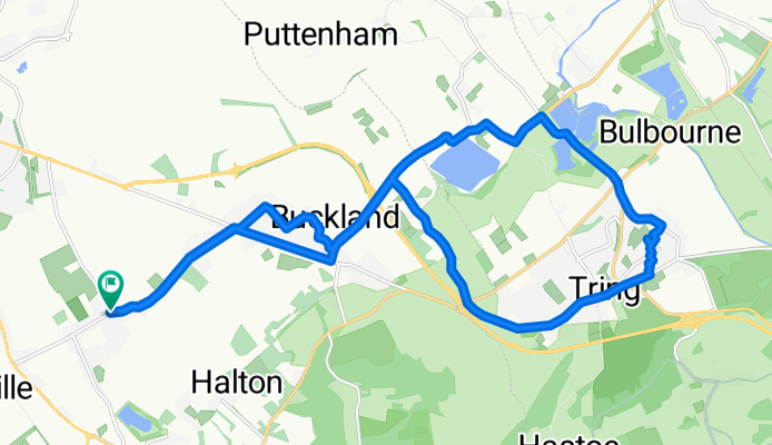
Weston Turville -Tring 20k early morning loop
A cycling route starting in Weston Turville, England, United Kingdom.
Overview
About this route
- 1 h 13 min
- Duration
- 21.2 km
- Distance
- 96 m
- Ascent
- 142 m
- Descent
- 17.5 km/h
- Avg. speed
- 162 m
- Max. altitude

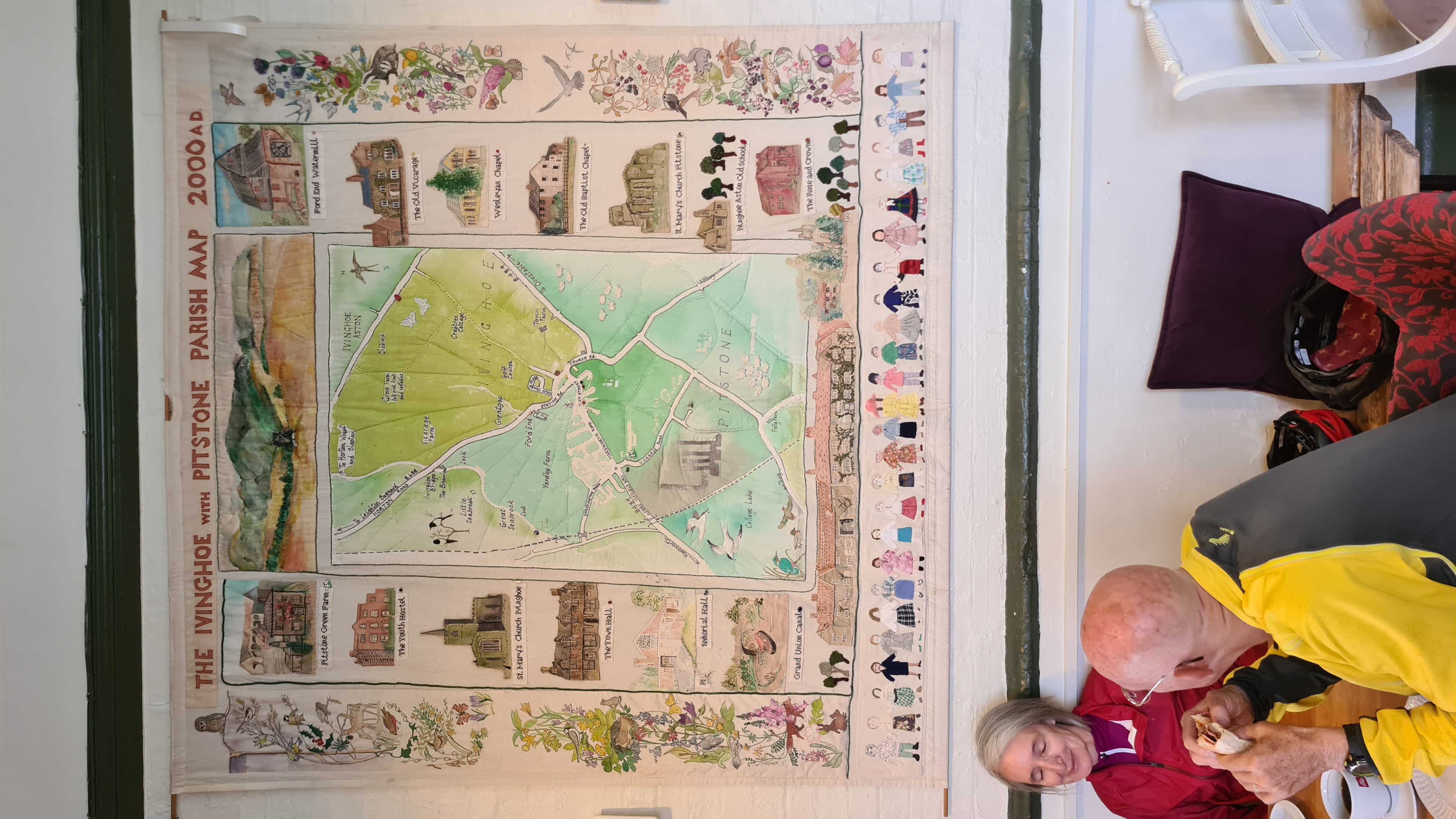
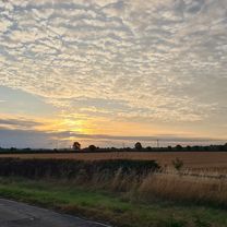
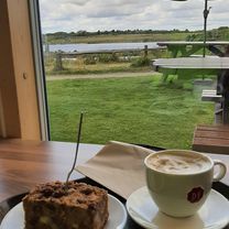
Route photos


Route quality
Waytypes & surfaces along the route
Waytypes
Road
8.5 km
(40 %)
Quiet road
6.4 km
(30 %)
Surfaces
Paved
6.6 km
(31 %)
Asphalt
6.6 km
(31 %)
Undefined
14.7 km
(69 %)
Continue with Bikemap
Use, edit, or download this cycling route
You would like to ride Weston Turville -Tring 20k early morning loop or customize it for your own trip? Here is what you can do with this Bikemap route:
Free features
- Save this route as favorite or in collections
- Copy & plan your own version of this route
- Sync your route with Garmin or Wahoo
Premium features
Free trial for 3 days, or one-time payment. More about Bikemap Premium.
- Navigate this route on iOS & Android
- Export a GPX / KML file of this route
- Create your custom printout (try it for free)
- Download this route for offline navigation
Discover more Premium features.
Get Bikemap PremiumFrom our community
Other popular routes starting in Weston Turville
 WT, Watermead, Claydon House
- Distance
- 37.9 km
- Ascent
- 293 m
- Descent
- 341 m
- Location
- Weston Turville, England, United Kingdom
 WT Leisure ride to Daisy Chain cafe, Pitstone
- Distance
- 38.3 km
- Ascent
- 129 m
- Descent
- 179 m
- Location
- Weston Turville, England, United Kingdom
 WT, Wendover, Woods, Halton, WT
- Distance
- 7.3 km
- Ascent
- 163 m
- Descent
- 69 m
- Location
- Weston Turville, England, United Kingdom
 WT, Aston Clinton, Wendover Woods, Wendover WT
- Distance
- 16.5 km
- Ascent
- 252 m
- Descent
- 301 m
- Location
- Weston Turville, England, United Kingdom
 WT, Dancers End, Tring, Wiggington, Northchurch, Ashridge, Ivinghoe, WT
- Distance
- 49 km
- Ascent
- 800 m
- Descent
- 800 m
- Location
- Weston Turville, England, United Kingdom
 Weston Turville -Tring 20k early morning loop
- Distance
- 21.2 km
- Ascent
- 96 m
- Descent
- 142 m
- Location
- Weston Turville, England, United Kingdom
 WT, Watermead, Oving, Wingrave, Marsworth, College Lake, WT
- Distance
- 53 km
- Ascent
- 493 m
- Descent
- 540 m
- Location
- Weston Turville, England, United Kingdom
 WT, Longwick, Phoenix Trail, Towersey, Kimble, WT
- Distance
- 41.2 km
- Ascent
- 347 m
- Descent
- 397 m
- Location
- Weston Turville, England, United Kingdom
Open it in the app