

호동로, 광주광역시에서 우산동, 광주광역시까지
A cycling route starting in Gwangju, Gwangju, South Korea.
Overview
About this route
- 2 h 24 min
- Duration
- 32.9 km
- Distance
- 103 m
- Ascent
- 99 m
- Descent
- 13.7 km/h
- Avg. speed
- 52 m
- Max. altitude
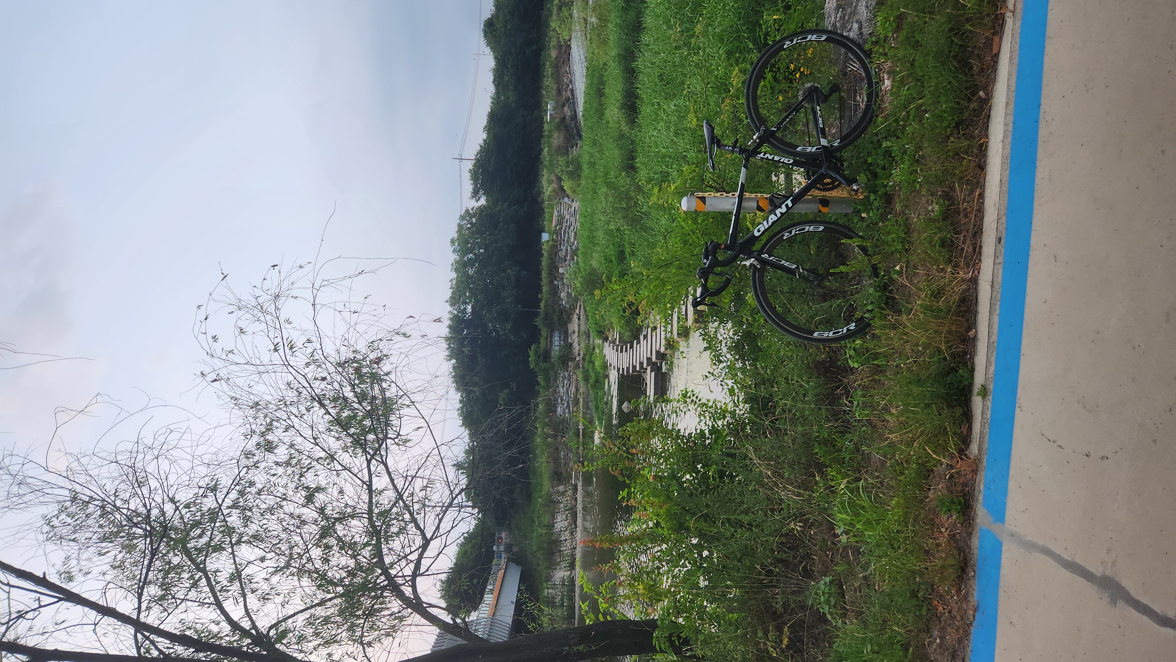
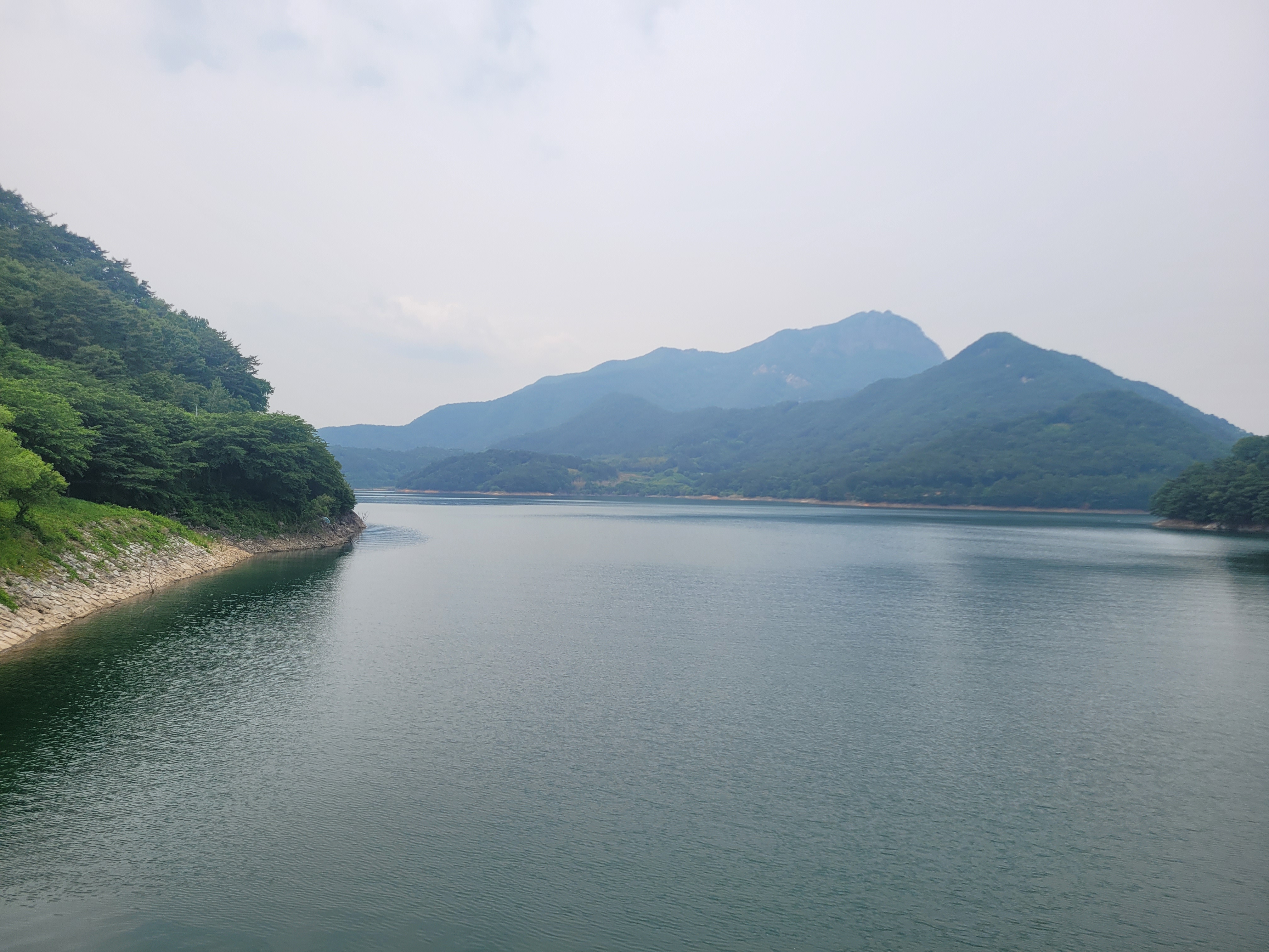
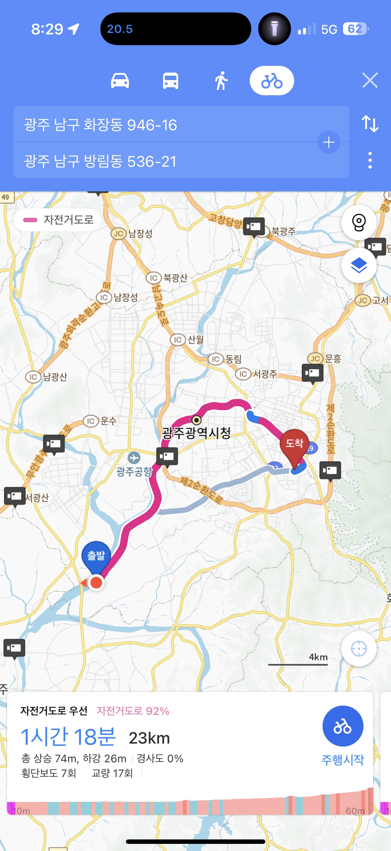
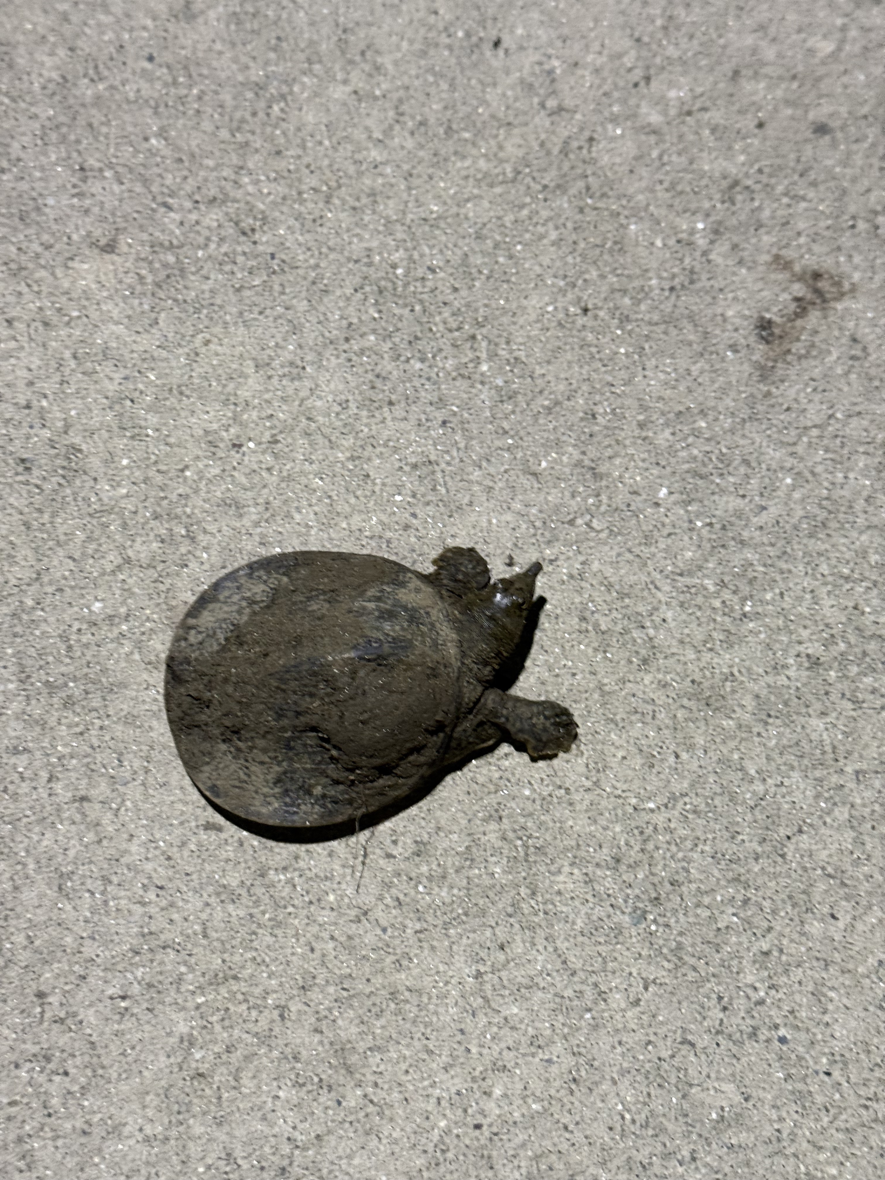
Route photos


Continue with Bikemap
Use, edit, or download this cycling route
You would like to ride 호동로, 광주광역시에서 우산동, 광주광역시까지 or customize it for your own trip? Here is what you can do with this Bikemap route:
Free features
- Save this route as favorite or in collections
- Copy & plan your own version of this route
- Sync your route with Garmin or Wahoo
Premium features
Free trial for 3 days, or one-time payment. More about Bikemap Premium.
- Navigate this route on iOS & Android
- Export a GPX / KML file of this route
- Create your custom printout (try it for free)
- Download this route for offline navigation
Discover more Premium features.
Get Bikemap PremiumFrom our community
Other popular routes starting in Gwangju
 서석동 422-17 ~ 서석동 422-16
- Distance
- 20.6 km
- Ascent
- 60 m
- Descent
- 86 m
- Location
- Gwangju, Gwangju, South Korea
 월계동 756-3 ~ 월계동 756-3
- Distance
- 60.5 km
- Ascent
- 147 m
- Descent
- 158 m
- Location
- Gwangju, Gwangju, South Korea
 광주천 라읻
- Distance
- 44.4 km
- Ascent
- 110 m
- Descent
- 119 m
- Location
- Gwangju, Gwangju, South Korea
 대남대로85번길, 광주광역시에서 방림동, 광주광역시까지
- Distance
- 25.4 km
- Ascent
- 97 m
- Descent
- 99 m
- Location
- Gwangju, Gwangju, South Korea
 Usan-dong to Gurye-eup 2199-20, Gurve
- Distance
- 103.2 km
- Ascent
- 740 m
- Descent
- 741 m
- Location
- Gwangju, Gwangju, South Korea
 GR1200
- Distance
- 1,176.6 km
- Ascent
- 2,878 m
- Descent
- 2,877 m
- Location
- Gwangju, Gwangju, South Korea
 호동로, 광주광역시에서 우산동, 광주광역시까지
- Distance
- 32.9 km
- Ascent
- 103 m
- Descent
- 99 m
- Location
- Gwangju, Gwangju, South Korea
 Gwangju 50km circuit
- Distance
- 52.9 km
- Ascent
- 257 m
- Descent
- 256 m
- Location
- Gwangju, Gwangju, South Korea
Open it in the app