
Cluny - Caluire-et-Cuire
- 109.1 km
- 413 m
- 456 m
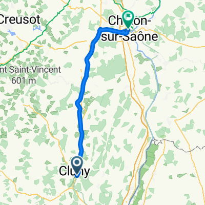
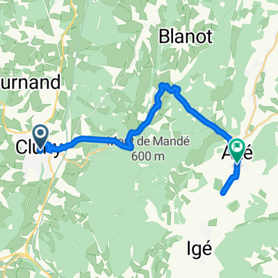
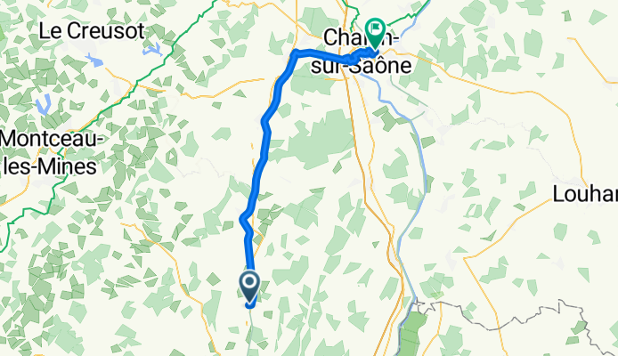
- Cluny, Bourgogne-Franche-Comté, France
Taize nach Rathenow
A cycling route starting in Cluny, Bourgogne-Franche-Comté, France.
Overview
created this 8 months ago
Part of
11 stages
Route quality
Path
38.2 km
83 %
Quiet road
2.8 km
6 %
Paved
40 km
(87 %)
Asphalt
39.5 km
86 %
Paved (undefined)
0.5 km
1 %
Undefined
6 km
13 %
Continue with Bikemap
You would like to ride Taize - Chalon-sur-Saone or customize it for your own trip? Here is what you can do with this Bikemap route:
Free trial for 3 days, or one-time payment. More about Bikemap Premium.
Discover more Premium features.
Get Bikemap PremiumFrom our community
Open it in the app