
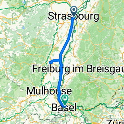
Overview
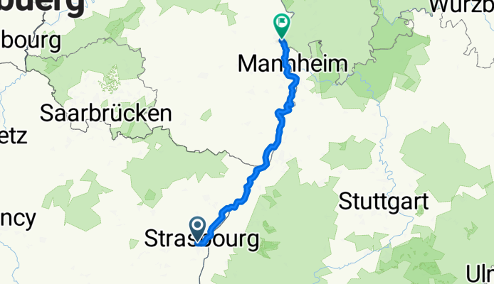
About this route
- 9 h 52 min
- Duration
- 179.2 km
- Distance
- 459 m
- Ascent
- 505 m
- Descent
- 18.2 km/h
- Avg. speed
- 147 m
- Max. altitude

Part of
Taize nach Rathenow
11 stages
Route quality
Waytypes & surfaces along the route
Waytypes
Track
77.1 km
(43 %)
Quiet road
35.8 km
(20 %)
Surfaces
Paved
163.1 km
(91 %)
Asphalt
155.9 km
(87 %)
Paved (undefined)
7.2 km
(4 %)
Undefined
16.1 km
(9 %)
Continue with Bikemap
Use, edit, or download this cycling route
You would like to ride Strasbourg - Worms or customize it for your own trip? Here is what you can do with this Bikemap route:
Free features
- Save this route as favorite or in collections
- Copy & plan your own version of this route
- Split it into stages to create a multi-day tour
- Sync your route with Garmin or Wahoo
Premium features
Free trial for 3 days, or one-time payment. More about Bikemap Premium.
- Navigate this route on iOS & Android
- Export a GPX / KML file of this route
- Create your custom printout (try it for free)
- Download this route for offline navigation
Discover more Premium features.
Get Bikemap PremiumFrom our community
Other popular routes starting in Strasbourg
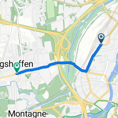
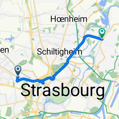 Itinéraire à Strasbourg
- Distance
- 7.4 km
- Ascent
- 14 m
- Descent
- 22 m
- Location
- Strasbourg, Grand Est, France
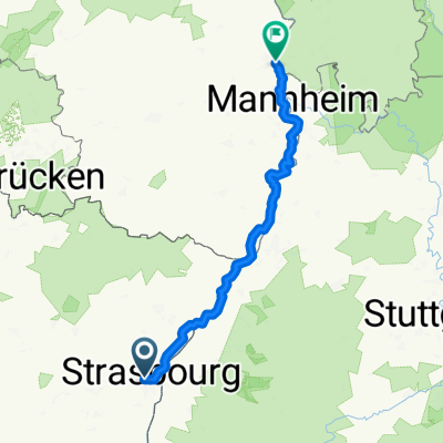 Strasbourg - Worms
- Distance
- 179.2 km
- Ascent
- 459 m
- Descent
- 505 m
- Location
- Strasbourg, Grand Est, France
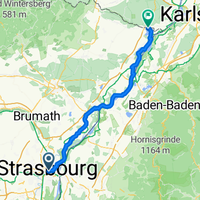
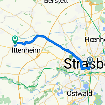 ALSACE - Stras to Furd
- Distance
- 17.1 km
- Ascent
- 78 m
- Descent
- 46 m
- Location
- Strasbourg, Grand Est, France
 Quartier de la Gare, Straßburg nach Route des Romains, Straßburg
- Distance
- 2.3 km
- Ascent
- 11 m
- Descent
- 8 m
- Location
- Strasbourg, Grand Est, France
 alsacee
- Distance
- 161.1 km
- Ascent
- 208 m
- Descent
- 96 m
- Location
- Strasbourg, Grand Est, France
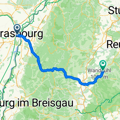 Nach balingen
- Distance
- 135.1 km
- Ascent
- 2,054 m
- Descent
- 1,676 m
- Location
- Strasbourg, Grand Est, France
 2010, Tag 2,dunkelschwarz, Strasbourg-Mulhouse
- Distance
- 185.5 km
- Ascent
- 835 m
- Descent
- 734 m
- Location
- Strasbourg, Grand Est, France
 Ruelle des Ramoneurs, Strasbourg to Chemin des Mouettes, Lauterbourg
- Distance
- 69.5 km
- Ascent
- 146 m
- Descent
- 168 m
- Location
- Strasbourg, Grand Est, France
Open it in the app