
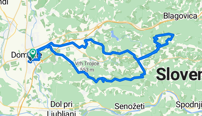
Vzhodna trasa
A cycling route starting in Domžale, Občina Domžale, Slovenia.
Overview
About this route
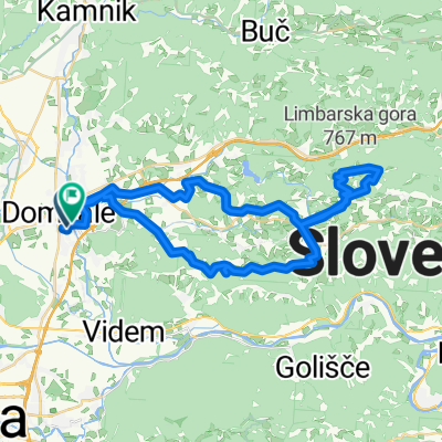
The starting point of the cycling route is the Domžale Sports Park. The route is quite challenging, as it includes a longer ascent to Sv. Trojica and, for well-prepared cyclists, also to Limbarska Gora. The route is mixed, as it partly runs on asphalt and partly on well-maintained gravel roads.
- 3 h 44 min
- Duration
- 50.6 km
- Distance
- 1,263 m
- Ascent
- 1,263 m
- Descent
- 13.6 km/h
- Avg. speed
- 729 m
- Max. altitude
Route quality
Waytypes & surfaces along the route
Waytypes
Quiet road
35.4 km
(70 %)
Track
6.1 km
(12 %)
Surfaces
Paved
38.9 km
(77 %)
Unpaved
5.6 km
(11 %)
Asphalt
38.4 km
(76 %)
Gravel
5.6 km
(11 %)
Continue with Bikemap
Use, edit, or download this cycling route
You would like to ride Vzhodna trasa or customize it for your own trip? Here is what you can do with this Bikemap route:
Free features
- Save this route as favorite or in collections
- Copy & plan your own version of this route
- Sync your route with Garmin or Wahoo
Premium features
Free trial for 3 days, or one-time payment. More about Bikemap Premium.
- Navigate this route on iOS & Android
- Export a GPX / KML file of this route
- Create your custom printout (try it for free)
- Download this route for offline navigation
Discover more Premium features.
Get Bikemap PremiumFrom our community
Other popular routes starting in Domžale
 Severna trasa Domžale
- Distance
- 37.2 km
- Ascent
- 320 m
- Descent
- 318 m
- Location
- Domžale, Občina Domžale, Slovenia
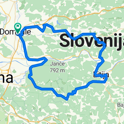
 Palovce-Lukovica-Moravce-Trojica
- Distance
- 48.6 km
- Ascent
- 834 m
- Descent
- 837 m
- Location
- Domžale, Občina Domžale, Slovenia
 Geoss Runda
- Distance
- 83.1 km
- Ascent
- 1,799 m
- Descent
- 1,799 m
- Location
- Domžale, Občina Domžale, Slovenia
 Domžale - Makole
- Distance
- 116.7 km
- Ascent
- 1,920 m
- Descent
- 1,967 m
- Location
- Domžale, Občina Domžale, Slovenia
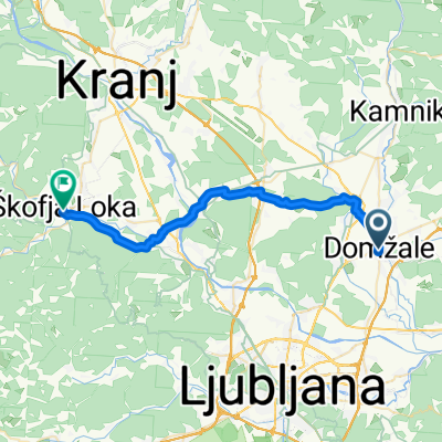 Route to Skofja Loka Castle & Museum
- Distance
- 29.9 km
- Ascent
- 364 m
- Descent
- 275 m
- Location
- Domžale, Občina Domžale, Slovenia
 Domžale - Šenturska Gora- Domžale krog
- Distance
- 50.6 km
- Ascent
- 440 m
- Descent
- 440 m
- Location
- Domžale, Občina Domžale, Slovenia
 Domžale-Ločica pri vranskem krog
- Distance
- 73.8 km
- Ascent
- 577 m
- Descent
- 577 m
- Location
- Domžale, Občina Domžale, Slovenia
 Vzhodna trasa
- Distance
- 50.6 km
- Ascent
- 1,263 m
- Descent
- 1,263 m
- Location
- Domžale, Občina Domžale, Slovenia
Open it in the app