
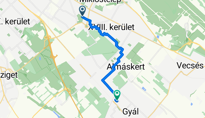
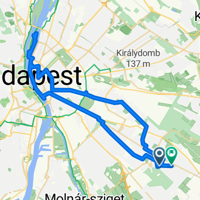
Szélmalom utca - Tél utca
A cycling route starting in Budapest XVIII. kerület, Budapest, Hungary.
Overview
About this route
- 41 min
- Duration
- 8.7 km
- Distance
- 26 m
- Ascent
- 84 m
- Descent
- 12.8 km/h
- Avg. speed
- 170 m
- Max. altitude

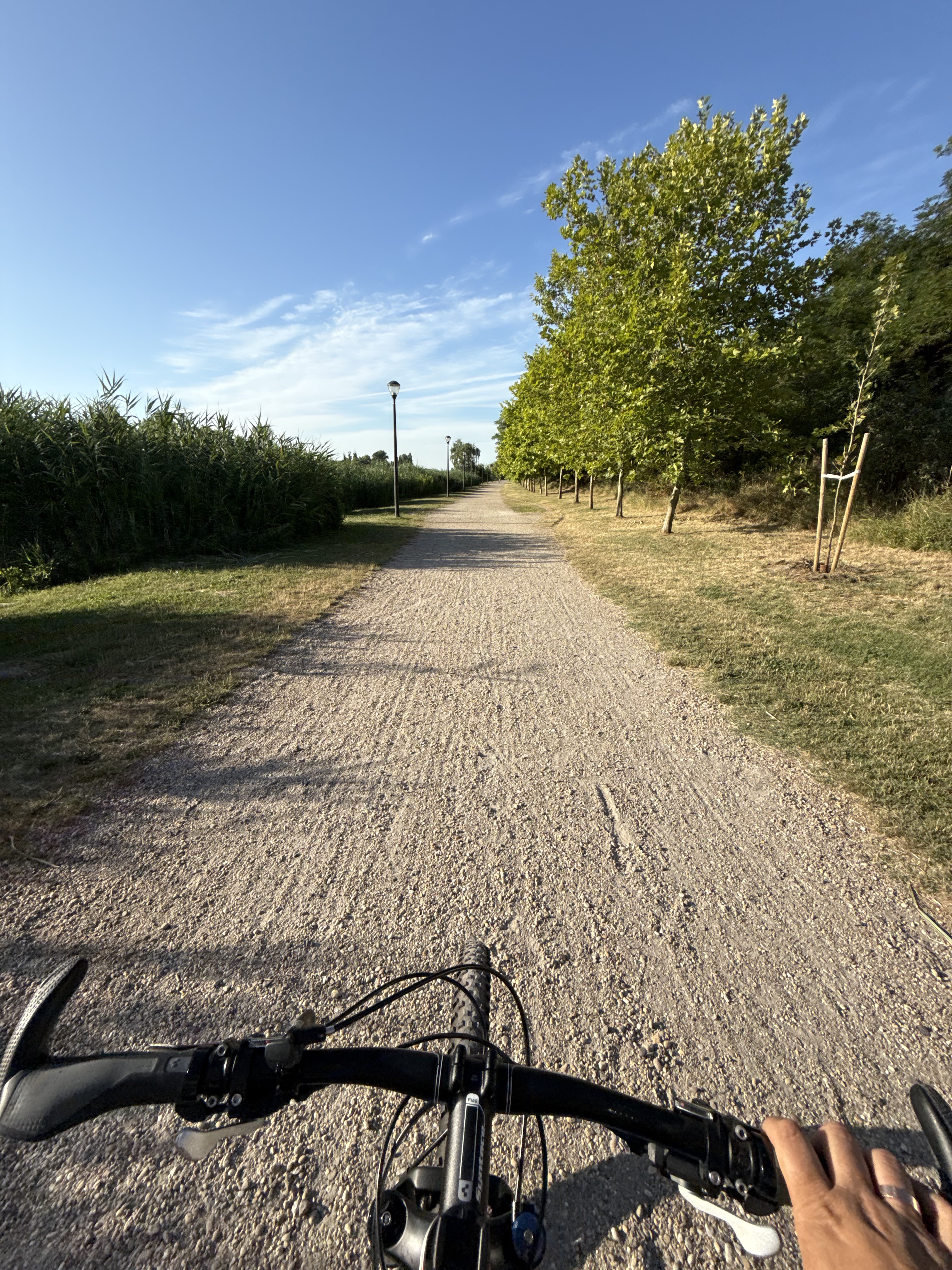
Route photos

Route quality
Waytypes & surfaces along the route
Waytypes
Quiet road
8.3 km
(95 %)
Living street
0.2 km
(2 %)
Surfaces
Paved
3.9 km
(45 %)
Asphalt
3.9 km
(45 %)
Undefined
4.8 km
(55 %)
Continue with Bikemap
Use, edit, or download this cycling route
You would like to ride Szélmalom utca - Tél utca or customize it for your own trip? Here is what you can do with this Bikemap route:
Free features
- Save this route as favorite or in collections
- Copy & plan your own version of this route
- Sync your route with Garmin or Wahoo
Premium features
Free trial for 3 days, or one-time payment. More about Bikemap Premium.
- Navigate this route on iOS & Android
- Export a GPX / KML file of this route
- Create your custom printout (try it for free)
- Download this route for offline navigation
Discover more Premium features.
Get Bikemap PremiumFrom our community
Other popular routes starting in Budapest XVIII. kerület
 Széchenyi István utca, Budapest - Széchenyi István utca, Budapest
- Distance
- 40.2 km
- Ascent
- 176 m
- Descent
- 173 m
- Location
- Budapest XVIII. kerület, Budapest, Hungary
 Szélmalom utca - Tél utca
- Distance
- 8.7 km
- Ascent
- 26 m
- Descent
- 84 m
- Location
- Budapest XVIII. kerület, Budapest, Hungary
 Cargodomb - Spotterdomb
- Distance
- 8.2 km
- Ascent
- 43 m
- Descent
- 101 m
- Location
- Budapest XVIII. kerület, Budapest, Hungary
 Nefelejcs utca, Budapest - Fülemile utca, Budapest
- Distance
- 20.6 km
- Ascent
- 74 m
- Descent
- 107 m
- Location
- Budapest XVIII. kerület, Budapest, Hungary
 Poprád utca - Spotterdomb
- Distance
- 9.3 km
- Ascent
- 34 m
- Descent
- 40 m
- Location
- Budapest XVIII. kerület, Budapest, Hungary
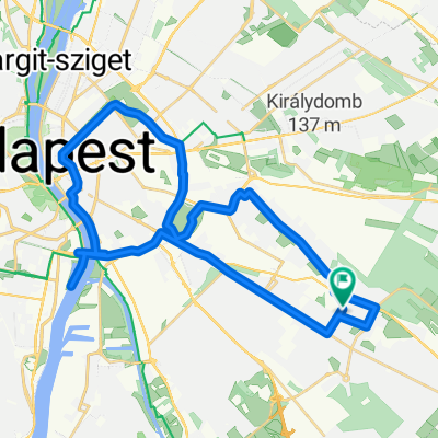
 Lőrinc - Kopaszi gát - Lőrinc 48 km
- Distance
- 22 km
- Ascent
- 28 m
- Descent
- 57 m
- Location
- Budapest XVIII. kerület, Budapest, Hungary
 Dóra Majori kör
- Distance
- 35.1 km
- Ascent
- 42 m
- Descent
- 41 m
- Location
- Budapest XVIII. kerület, Budapest, Hungary
 Dráva Utca - Nagyenyed utca
- Distance
- 49.2 km
- Ascent
- 227 m
- Descent
- 277 m
- Location
- Budapest XVIII. kerület, Budapest, Hungary
Open it in the app