
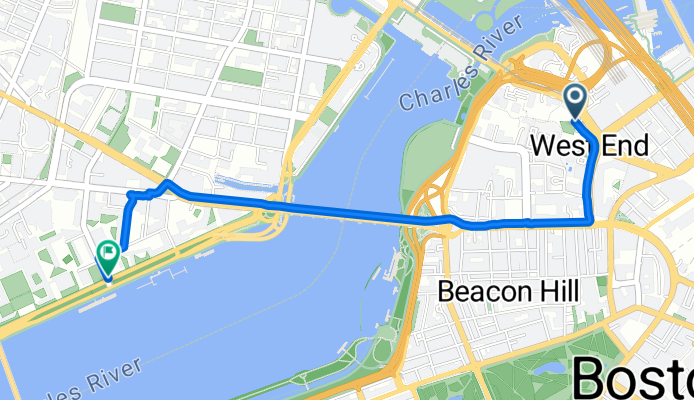
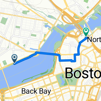
Martha Road to Memorial Drive
A cycling route starting in Boston, Massachusetts, United States.
Overview
About this route
- 16 min
- Duration
- 3.3 km
- Distance
- 69 m
- Ascent
- 35 m
- Descent
- 12.7 km/h
- Avg. speed
- 23 m
- Max. altitude

Route quality
Waytypes & surfaces along the route
Waytypes
Cycleway
1.6 km
(48 %)
Pedestrian area
0.6 km
(17 %)
Surfaces
Paved
2.5 km
(74 %)
Unpaved
0 km
(1 %)
Asphalt
1.9 km
(57 %)
Concrete
0.6 km
(17 %)
Continue with Bikemap
Use, edit, or download this cycling route
You would like to ride Martha Road to Memorial Drive or customize it for your own trip? Here is what you can do with this Bikemap route:
Free features
- Save this route as favorite or in collections
- Copy & plan your own version of this route
- Sync your route with Garmin or Wahoo
Premium features
Free trial for 3 days, or one-time payment. More about Bikemap Premium.
- Navigate this route on iOS & Android
- Export a GPX / KML file of this route
- Create your custom printout (try it for free)
- Download this route for offline navigation
Discover more Premium features.
Get Bikemap PremiumFrom our community
Other popular routes starting in Boston
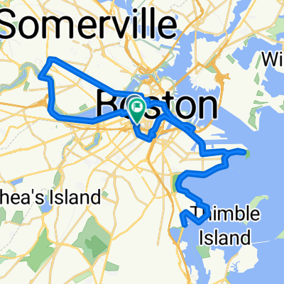
 Roslindale - Boston City Hall - Roslindale
- Distance
- 15.8 km
- Ascent
- 104 m
- Descent
- 78 m
- Location
- Boston, Massachusetts, United States
 Home —> Work
- Distance
- 9.3 km
- Ascent
- 75 m
- Descent
- 86 m
- Location
- Boston, Massachusetts, United States
 Arlington St, בוסטון to Arlington St, בוסטון
- Distance
- 41.3 km
- Ascent
- 157 m
- Descent
- 157 m
- Location
- Boston, Massachusetts, United States
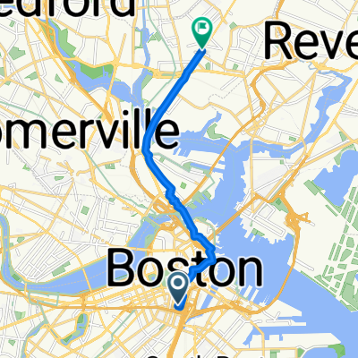
 Causeway St, Boston to Acorn Park Dr, Cambridge
- Distance
- 9.4 km
- Ascent
- 32 m
- Descent
- 37 m
- Location
- Boston, Massachusetts, United States
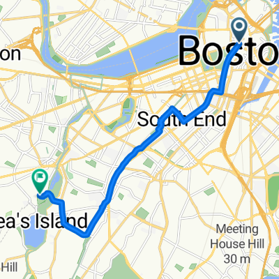 Route to Brookline
- Distance
- 9 km
- Ascent
- 70 m
- Descent
- 94 m
- Location
- Boston, Massachusetts, United States
 Martha Road to Memorial Drive
- Distance
- 3.3 km
- Ascent
- 69 m
- Descent
- 35 m
- Location
- Boston, Massachusetts, United States
 Pav/North Station
- Distance
- 3.2 km
- Ascent
- 72 m
- Descent
- 63 m
- Location
- Boston, Massachusetts, United States
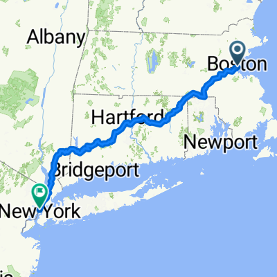 Putnam - Boston
- Distance
- 452.7 km
- Ascent
- 4,586 m
- Descent
- 4,579 m
- Location
- Boston, Massachusetts, United States
Open it in the app