
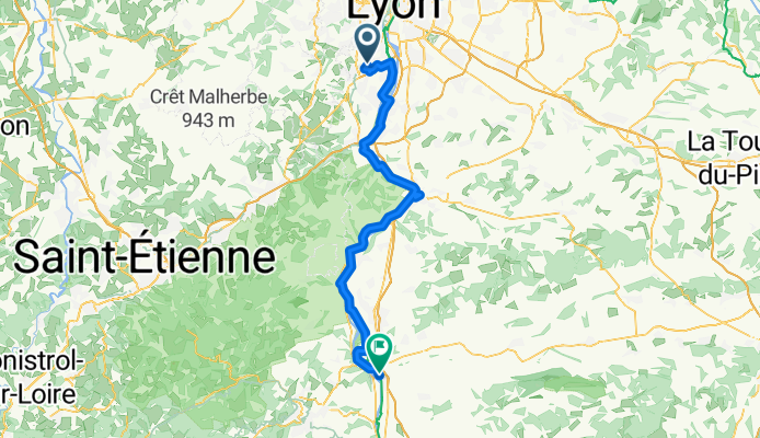
San Denis Laval - Saint Rambert d'Albon
- 78.6 km
- 830 m
- 955 m
- Saint-Genis-Laval, Auvergne-Rhône-Alpes, France
A cycling route starting in Saint-Genis-Laval, Auvergne-Rhône-Alpes, France.
Overview
created this 3 months ago


Route quality
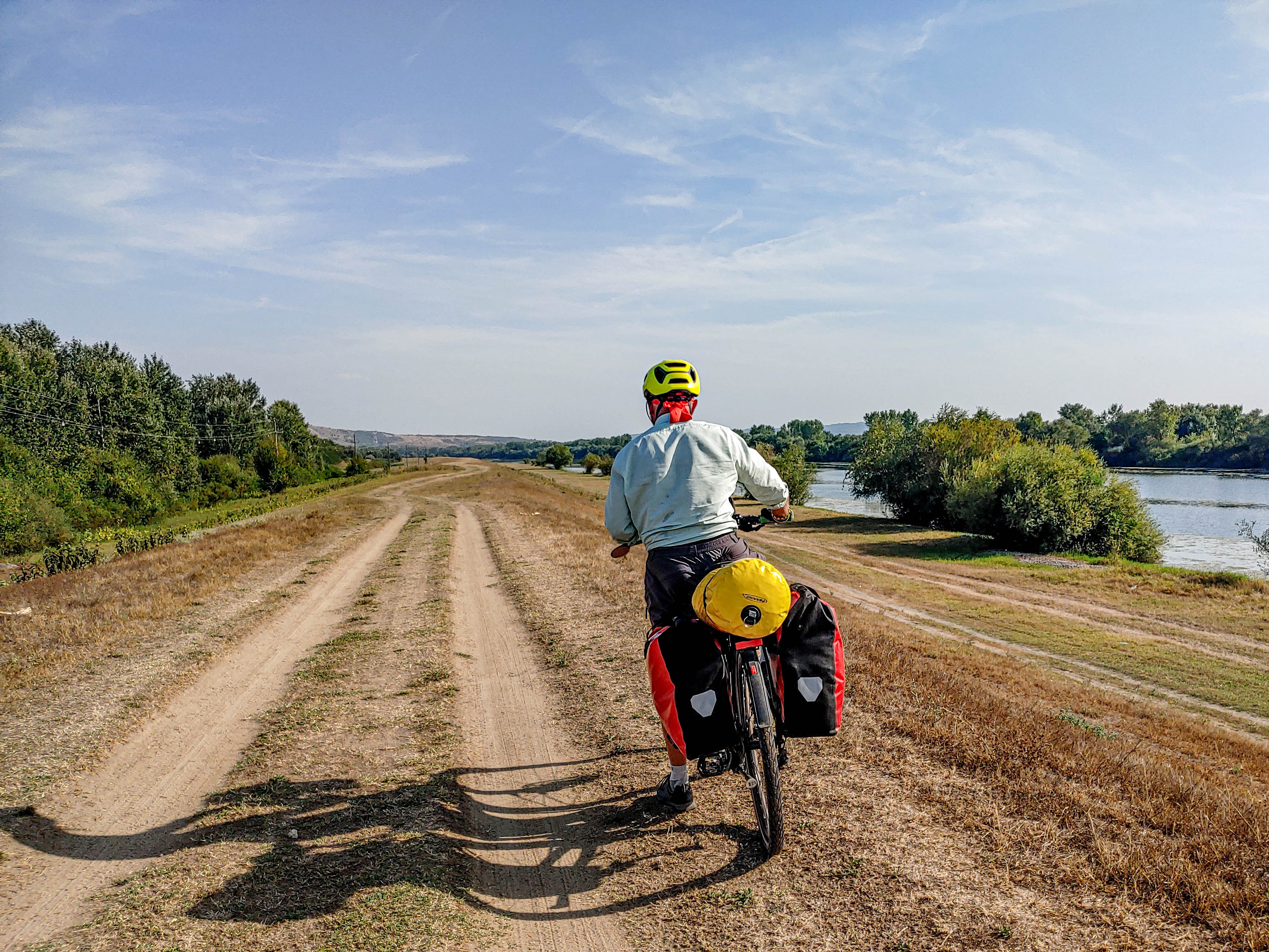
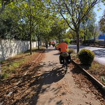
Cycleway
25.1 km
(32 %)
Quiet road
19.6 km
(25 %)
Paved
51.1 km
(65 %)
Unpaved
3.1 km
(4 %)
Asphalt
51.1 km
(65 %)
Gravel
2.4 km
(3 %)
Continue with Bikemap
You would like to ride San Denis Laval - Saint Rambert d'Albon or customize it for your own trip? Here is what you can do with this Bikemap route:
Free trial for 3 days, or one-time payment. More about Bikemap Premium.
Discover more Premium features.
Get Bikemap PremiumFrom our community
Open it in the app


