

Home to Kent
- 192.2 km
- 565 m
- 565 m
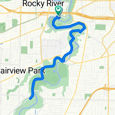
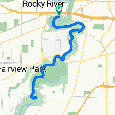
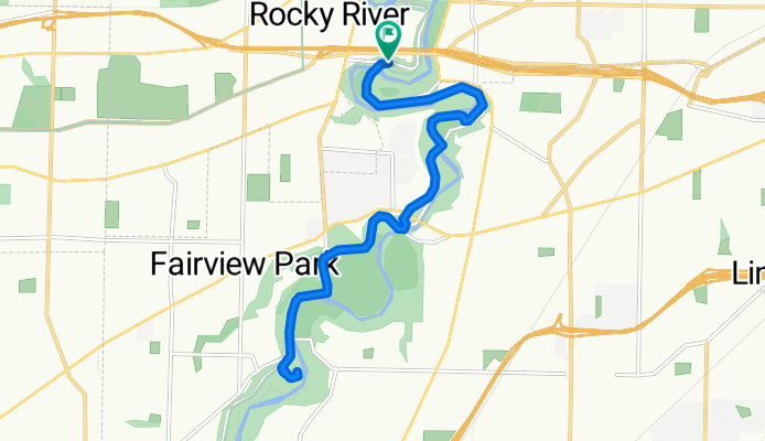
- Rocky River, Ohio, United States
A cycling route starting in Rocky River, Ohio, United States.
Overview
Rockcliff Springs Rocky River Reservation to South Mastick Picnic Area, Fairview Park, OH 44126 and return.
created this 3 months ago
Route quality
Cycleway
16.4 km
(95 %)
Pedestrian area
0.5 km
(3 %)
Paved
16.9 km
(98 %)
Asphalt
9.7 km
(56 %)
Paved (undefined)
7.2 km
(42 %)
Undefined
0.3 km
(2 %)
Continue with Bikemap
You would like to ride 1) MetroPark Rockcliff Springs to S Mastick Picnic Area or customize it for your own trip? Here is what you can do with this Bikemap route:
Free trial for 3 days, or one-time payment. More about Bikemap Premium.
Discover more Premium features.
Get Bikemap PremiumFrom our community
Open it in the app