
Route to Trieste
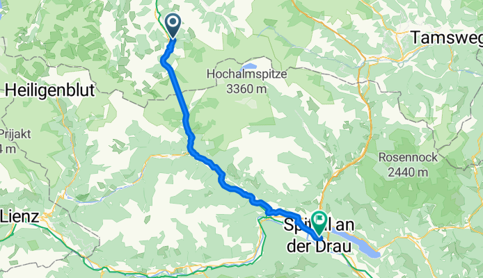
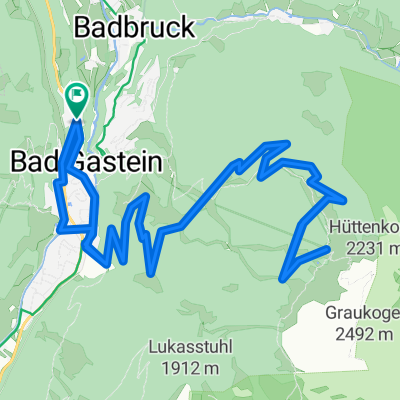
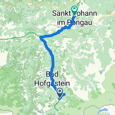
Bad Hofgastein - Mühldorf
A cycling route starting in Bad Gastein, Salzburg, Austria.
Overview
About this route
- 3 h 49 min
- Duration
- 60.7 km
- Distance
- 1,036 m
- Ascent
- 1,349 m
- Descent
- 15.9 km/h
- Avg. speed
- 1,199 m
- Max. altitude
Part of
Route to Trieste
9 stages
Route quality
Waytypes & surfaces along the route
Waytypes
Quiet road
29.8 km
(49 %)
Cycleway
17 km
(28 %)
Surfaces
Paved
21.9 km
(36 %)
Unpaved
4.9 km
(8 %)
Asphalt
20.6 km
(34 %)
Gravel
2.4 km
(4 %)
Continue with Bikemap
Use, edit, or download this cycling route
You would like to ride Bad Hofgastein - Mühldorf or customize it for your own trip? Here is what you can do with this Bikemap route:
Free features
- Save this route as favorite or in collections
- Copy & plan your own version of this route
- Sync your route with Garmin or Wahoo
Premium features
Free trial for 3 days, or one-time payment. More about Bikemap Premium.
- Navigate this route on iOS & Android
- Export a GPX / KML file of this route
- Create your custom printout (try it for free)
- Download this route for offline navigation
Discover more Premium features.
Get Bikemap PremiumFrom our community
Other popular routes starting in Bad Gastein
 EFF Bad Gastein - Bischofshofen
- Distance
- 57.1 km
- Ascent
- 397 m
- Descent
- 920 m
- Location
- Bad Gastein, Salzburg, Austria
 Stubnerkogel von Bad Gastein
- Distance
- 21.1 km
- Ascent
- 1,501 m
- Descent
- 329 m
- Location
- Bad Gastein, Salzburg, Austria
 Graukogel Bergstation
- Distance
- 19.9 km
- Ascent
- 1,094 m
- Descent
- 1,095 m
- Location
- Bad Gastein, Salzburg, Austria
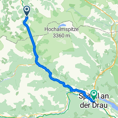 Von Bad Gastein bis Spittal an der Drau
- Distance
- 58.3 km
- Ascent
- 812 m
- Descent
- 1,327 m
- Location
- Bad Gastein, Salzburg, Austria
 Bad Hofgastein - Mühldorf
- Distance
- 60.7 km
- Ascent
- 1,036 m
- Descent
- 1,349 m
- Location
- Bad Gastein, Salzburg, Austria
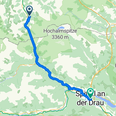
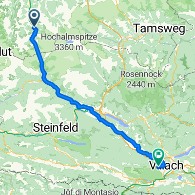 Erlengrund camp-Gerli camp (Villach) 103 km
- Distance
- 102.8 km
- Ascent
- 1,339 m
- Descent
- 1,640 m
- Location
- Bad Gastein, Salzburg, Austria
 From Bad Gastein to Mallnitz
- Distance
- 18.6 km
- Ascent
- 205 m
- Descent
- 53 m
- Location
- Bad Gastein, Salzburg, Austria
 Bad Gastein - St Johann im Pongau
- Distance
- 42.8 km
- Ascent
- 536 m
- Descent
- 1,026 m
- Location
- Bad Gastein, Salzburg, Austria
Open it in the app