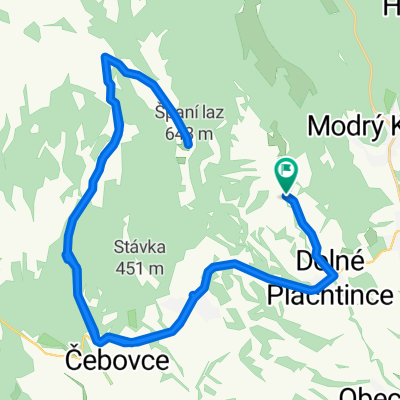
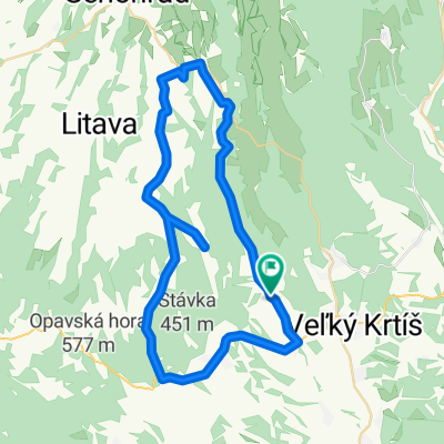
Str. Plachtince - Príbelce - Škriavnik - Obeckov - Str. Plachtince
A cycling route starting in Veľký Krtíš, Banská Bystrica Region, Slovakia.
Overview
About this route
In the first half of the climb, then flatter. Route through beautiful nature.
- 1 h 20 min
- Duration
- 21.4 km
- Distance
- 201 m
- Ascent
- 202 m
- Descent
- 16.1 km/h
- Avg. speed
- 291 m
- Max. altitude
Route quality
Waytypes & surfaces along the route
Waytypes
Road
9.4 km
(44 %)
Quiet road
4.7 km
(22 %)
Surfaces
Paved
8.1 km
(38 %)
Unpaved
2.1 km
(10 %)
Asphalt
8.1 km
(38 %)
Gravel
2.1 km
(10 %)
Undefined
11.1 km
(52 %)
Continue with Bikemap
Use, edit, or download this cycling route
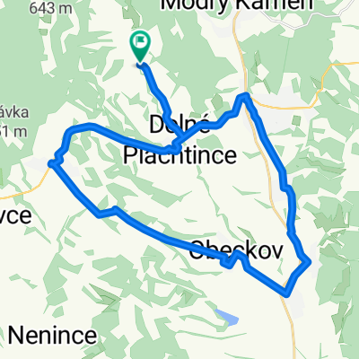
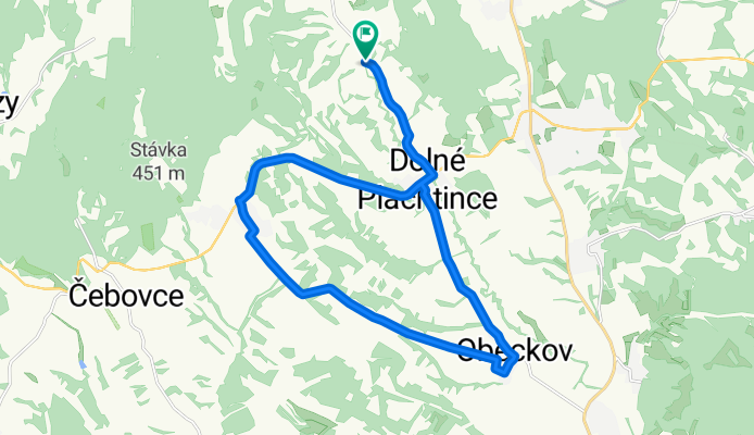
You would like to ride Str. Plachtince - Príbelce - Škriavnik - Obeckov - Str. Plachtince or customize it for your own trip? Here is what you can do with this Bikemap route:
Free features
- Save this route as favorite or in collections
- Copy & plan your own version of this route
- Sync your route with Garmin or Wahoo
Premium features
Free trial for 3 days, or one-time payment. More about Bikemap Premium.
- Navigate this route on iOS & Android
- Export a GPX / KML file of this route
- Create your custom printout (try it for free)
- Download this route for offline navigation
Discover more Premium features.
Get Bikemap PremiumFrom our community
Other popular routes starting in Veľký Krtíš
Str. Plachtince - Čebovce - Španí laz - Str. Plachtince- Distance
- 47.6 km
- Ascent
- 824 m
- Descent
- 826 m
- Location
- Veľký Krtíš, Banská Bystrica Region, Slovakia
BB-Dolná Strehová 3- Distance
- 90.1 km
- Ascent
- 334 m
- Descent
- 338 m
- Location
- Veľký Krtíš, Banská Bystrica Region, Slovakia
Grand Tour de Veľký Krtíš -veľký okruh- Distance
- 120.3 km
- Ascent
- 840 m
- Descent
- 827 m
- Location
- Veľký Krtíš, Banská Bystrica Region, Slovakia
Brief ride through Veľký Krtíš- Distance
- 1.6 km
- Ascent
- 8 m
- Descent
- 9 m
- Location
- Veľký Krtíš, Banská Bystrica Region, Slovakia
Červenej armády 54 do Červenej armády 31- Distance
- 26.6 km
- Ascent
- 298 m
- Descent
- 275 m
- Location
- Veľký Krtíš, Banská Bystrica Region, Slovakia
Str. Plachtince - Čebovce - Nenince - Ďarmoty - Str. Plachtince- Distance
- 43.4 km
- Ascent
- 289 m
- Descent
- 291 m
- Location
- Veľký Krtíš, Banská Bystrica Region, Slovakia
Stredné Plachtince - Záhorce a späť- Distance
- 31 km
- Ascent
- 86 m
- Descent
- 89 m
- Location
- Veľký Krtíš, Banská Bystrica Region, Slovakia
BB-Dolná Strehová 4- Distance
- 97 km
- Ascent
- 862 m
- Descent
- 617 m
- Location
- Veľký Krtíš, Banská Bystrica Region, Slovakia
Open it in the app


