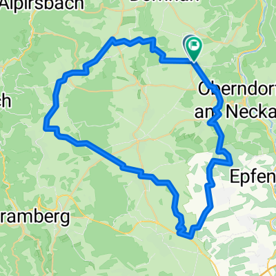


Beff-Alp-Schil-Wolf-Horn-Fohr-Lang-Hardt-Maria-Flöz-Bös-Beff
- 104 km
- 948 m
- 948 m
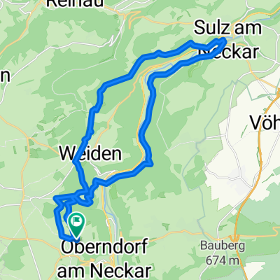
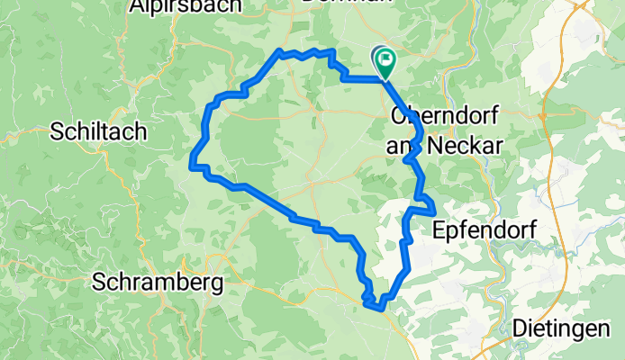
- Oberndorf, Baden-Wurttemberg, Germany
A cycling route starting in Oberndorf, Baden-Wurttemberg, Germany.
Overview
created this 3 months ago
Route quality
Track
19.3 km
(42 %)
Quiet road
17.9 km
(39 %)
Paved
33.6 km
(73 %)
Unpaved
5.1 km
(11 %)
Asphalt
24.4 km
(53 %)
Paved (undefined)
9.2 km
(20 %)
Continue with Bikemap
You would like to ride Route in Oberndorf am Neckar or customize it for your own trip? Here is what you can do with this Bikemap route:
Free trial for 3 days, or one-time payment. More about Bikemap Premium.
Discover more Premium features.
Get Bikemap PremiumFrom our community
Open it in the app