
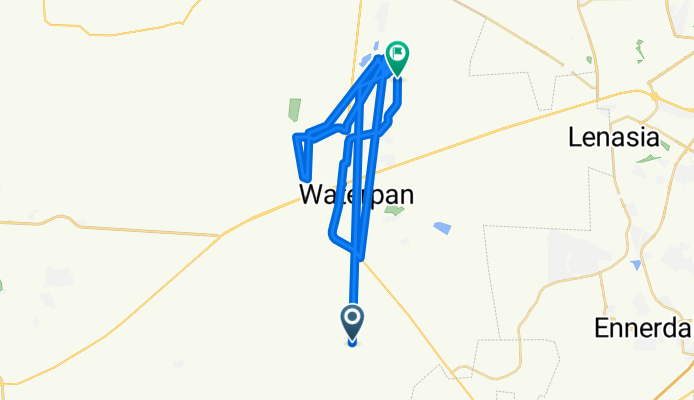
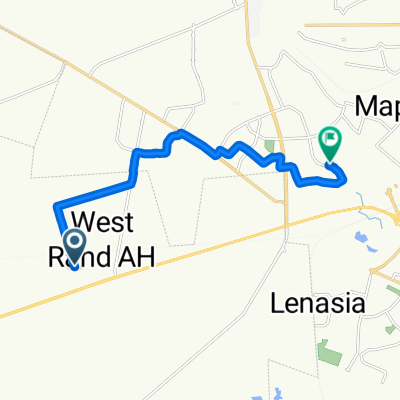
Route to Modisa Otsile Avenue
A cycling route starting in Westonaria, Gauteng, Republic of South Africa.
Overview
About this route
- 42 min
- Duration
- 66.7 km
- Distance
- 896 m
- Ascent
- 888 m
- Descent
- 95.9 km/h
- Avg. speed
- 2,138 m
- Max. altitude
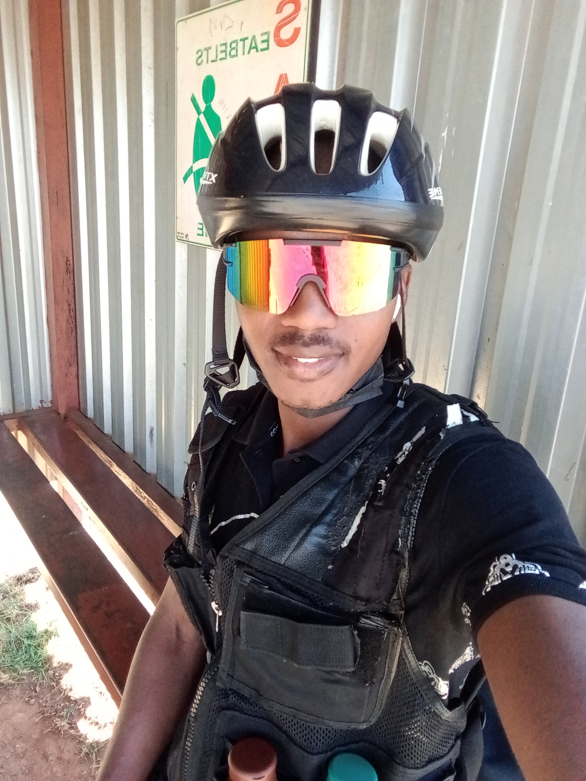
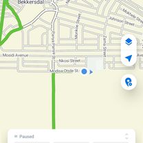
Route photos

Continue with Bikemap
Use, edit, or download this cycling route
You would like to ride Route to Modisa Otsile Avenue or customize it for your own trip? Here is what you can do with this Bikemap route:
Free features
- Save this route as favorite or in collections
- Copy & plan your own version of this route
- Sync your route with Garmin or Wahoo
Premium features
Free trial for 3 days, or one-time payment. More about Bikemap Premium.
- Navigate this route on iOS & Android
- Export a GPX / KML file of this route
- Create your custom printout (try it for free)
- Download this route for offline navigation
Discover more Premium features.
Get Bikemap PremiumFrom our community
Other popular routes starting in Westonaria
 Route to Slovo street
- Distance
- 2.1 km
- Ascent
- 0 m
- Descent
- 33 m
- Location
- Westonaria, Gauteng, Republic of South Africa
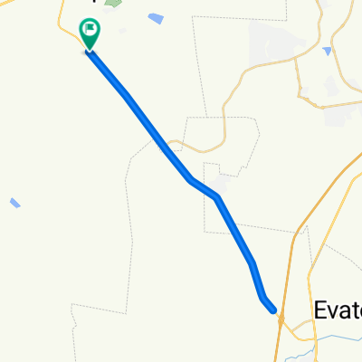 R28 flats
- Distance
- 40.4 km
- Ascent
- 270 m
- Descent
- 269 m
- Location
- Westonaria, Gauteng, Republic of South Africa
 Route to Modisa Otsile Avenue
- Distance
- 66.7 km
- Ascent
- 896 m
- Descent
- 888 m
- Location
- Westonaria, Gauteng, Republic of South Africa
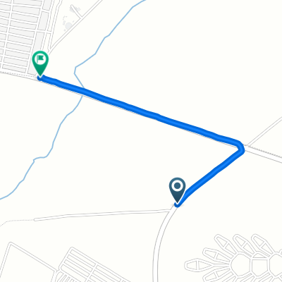
 Unnamed Road to Main Reef Road
- Distance
- 9.8 km
- Ascent
- 186 m
- Descent
- 43 m
- Location
- Westonaria, Gauteng, Republic of South Africa
 5th Avenue 432, Westonaria to Incape Street 5354, Soweto
- Distance
- 13 km
- Ascent
- 58 m
- Descent
- 102 m
- Location
- Westonaria, Gauteng, Republic of South Africa
Open it in the app