
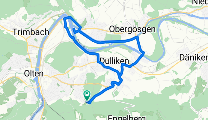
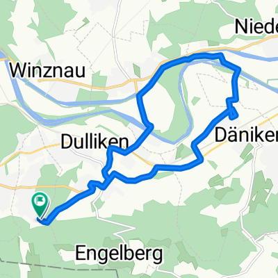
Säliring, Starrkirch-Wil nach Säliring, Starrkirch-Wil
A cycling route starting in Olten, Canton of Solothurn, Switzerland.
Overview
About this route
- 32 min
- Duration
- 13.4 km
- Distance
- 124 m
- Ascent
- 124 m
- Descent
- 24.8 km/h
- Avg. speed
- 497 m
- Max. altitude
Route quality
Waytypes & surfaces along the route
Waytypes
Quiet road
4.8 km
(36 %)
Track
1.9 km
(14 %)
Surfaces
Paved
5.6 km
(42 %)
Unpaved
1.2 km
(9 %)
Asphalt
5.6 km
(42 %)
Loose gravel
0.8 km
(6 %)
Continue with Bikemap
Use, edit, or download this cycling route
You would like to ride Säliring, Starrkirch-Wil nach Säliring, Starrkirch-Wil or customize it for your own trip? Here is what you can do with this Bikemap route:
Free features
- Save this route as favorite or in collections
- Copy & plan your own version of this route
- Sync your route with Garmin or Wahoo
Premium features
Free trial for 3 days, or one-time payment. More about Bikemap Premium.
- Navigate this route on iOS & Android
- Export a GPX / KML file of this route
- Create your custom printout (try it for free)
- Download this route for offline navigation
Discover more Premium features.
Get Bikemap PremiumFrom our community
Other popular routes starting in Olten
 Kohliweidstrasse, Starrkirch-Wil nach Säliring, Starrkirch-Wil
- Distance
- 15.8 km
- Ascent
- 145 m
- Descent
- 146 m
- Location
- Olten, Canton of Solothurn, Switzerland
 Route nach Hergiswil (Nidwalden)
- Distance
- 193 km
- Ascent
- 4,900 m
- Descent
- 4,857 m
- Location
- Olten, Canton of Solothurn, Switzerland
 Schützenmattweg 12, Olten nach Forstackerstrasse 4F, Zofingen
- Distance
- 10 km
- Ascent
- 84 m
- Descent
- 38 m
- Location
- Olten, Canton of Solothurn, Switzerland
 Säliring, Starrkirch-Wil nach Säliring, Starrkirch-Wil
- Distance
- 13.4 km
- Ascent
- 124 m
- Descent
- 124 m
- Location
- Olten, Canton of Solothurn, Switzerland
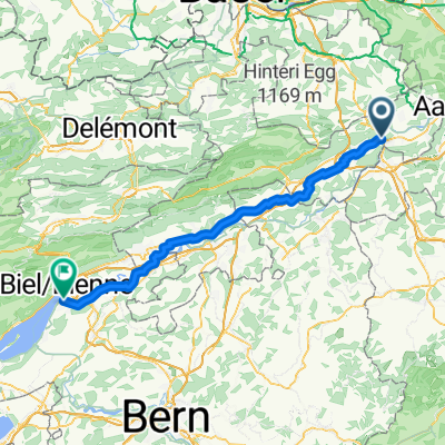 Olten - Nidau
- Distance
- 67.9 km
- Ascent
- 258 m
- Descent
- 228 m
- Location
- Olten, Canton of Solothurn, Switzerland
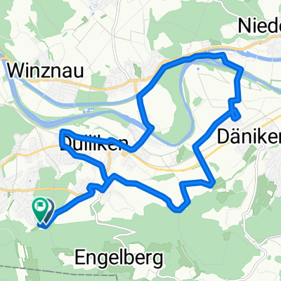
 Säliring, Starrkirch-Wil nach Säliring, Starrkirch-Wil
- Distance
- 13.2 km
- Ascent
- 136 m
- Descent
- 138 m
- Location
- Olten, Canton of Solothurn, Switzerland
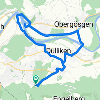
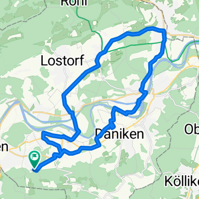 Säliring, Starrkirch-Wil nach Säliring, Starrkirch-Wil
- Distance
- 25.6 km
- Ascent
- 234 m
- Descent
- 233 m
- Location
- Olten, Canton of Solothurn, Switzerland
 Grenchenberg Corcelles Schelten
- Distance
- 149 km
- Ascent
- 2,318 m
- Descent
- 2,318 m
- Location
- Olten, Canton of Solothurn, Switzerland
Open it in the app