
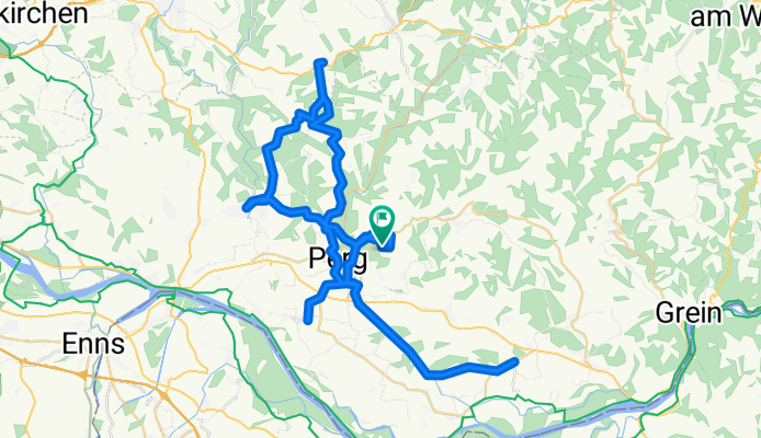
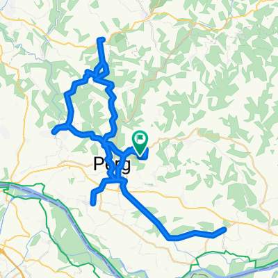
Runde 1
A cycling route starting in Perg, Upper Austria, Austria.
Overview
About this route
Perg – Naarn – Baumgartenberg – Tragwein – Schwertberg – Perg
- 4 h 3 min
- Duration
- 66.6 km
- Distance
- 1,026 m
- Ascent
- 1,024 m
- Descent
- 16.5 km/h
- Avg. speed
- 495 m
- Max. altitude
Route quality
Waytypes & surfaces along the route
Waytypes
Quiet road
49.9 km
(75 %)
Road
11.3 km
(17 %)
Surfaces
Paved
17.3 km
(26 %)
Asphalt
17.3 km
(26 %)
Undefined
49.3 km
(74 %)
Continue with Bikemap
Use, edit, or download this cycling route
You would like to ride Runde 1 or customize it for your own trip? Here is what you can do with this Bikemap route:
Free features
- Save this route as favorite or in collections
- Copy & plan your own version of this route
- Sync your route with Garmin or Wahoo
Premium features
Free trial for 3 days, or one-time payment. More about Bikemap Premium.
- Navigate this route on iOS & Android
- Export a GPX / KML file of this route
- Create your custom printout (try it for free)
- Download this route for offline navigation
Discover more Premium features.
Get Bikemap PremiumFrom our community
Other popular routes starting in Perg
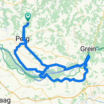
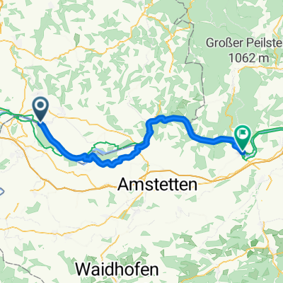
 Hafenstraße, Naarn im Machlande to Hafenstraße, Grein
- Distance
- 32.5 km
- Ascent
- 105 m
- Descent
- 113 m
- Location
- Perg, Upper Austria, Austria
 Allerheiligen-Stift-Ardagger
- Distance
- 79.1 km
- Ascent
- 1,011 m
- Descent
- 1,002 m
- Location
- Perg, Upper Austria, Austria
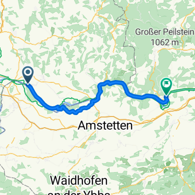
 Ausztriai Duna tura 4. nap
- Distance
- 40.7 km
- Ascent
- 123 m
- Descent
- 131 m
- Location
- Perg, Upper Austria, Austria
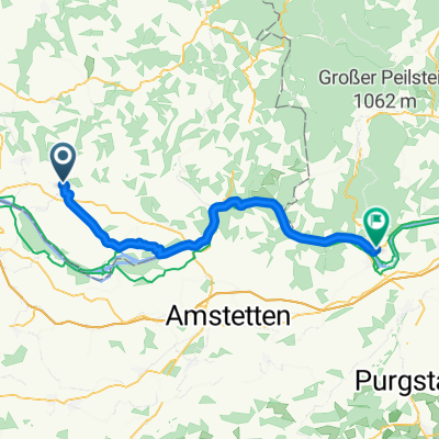
 Hafenstraße, Naarn im Machlande - Wachaustraße, Persenbeug-Gottsdorf
- Distance
- 56.8 km
- Ascent
- 341 m
- Descent
- 361 m
- Location
- Perg, Upper Austria, Austria
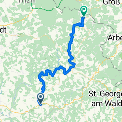
 Von Naarn im Machlande bis Ybbs an der Donau
- Distance
- 54.4 km
- Ascent
- 362 m
- Descent
- 379 m
- Location
- Perg, Upper Austria, Austria
 Runde 1
- Distance
- 66.6 km
- Ascent
- 1,026 m
- Descent
- 1,024 m
- Location
- Perg, Upper Austria, Austria
 Tour de Alm Tag 1
- Distance
- 50.1 km
- Ascent
- 1,998 m
- Descent
- 1,571 m
- Location
- Perg, Upper Austria, Austria
 Dr-Schober-Straße, Perg a Schubertstraße, Persenbeug-Gottsdorf
- Distance
- 46.4 km
- Ascent
- 244 m
- Descent
- 269 m
- Location
- Perg, Upper Austria, Austria
Open it in the app